Twin Lakes
- 3.4 mi
- round trip
- 2,330 ft
- climb
- 7,598 ft
- high point
- Out and back
- route
Is Twin Lakes open right now?
Alert in the area
The Forest Service lists an alert for Lolo National Forest.
East Fork Big Creek Road & Trail Closure- Superior Ranger District
Agency alert covering Lolo National Forest · Order 26-003- · USFS · Lolo National Forest
As of · Source: USFS · Lolo National Forest. Agencies don't list every closure — check before you go.
Twin Lakes is a moderate hike in the Rattlesnake Wilderness, part of the Missoula Ranger District of Lolo National Forest in western Montana. The Forest Service manages the land, and the trail lies within designated wilderness. The route is an out-and-back of about 3.4 miles, with a total climb of about 2,330 feet. The steepest stretch comes early, at about 0.15 miles from the start, where the grade reaches 36 percent. The trail's natural surface and the lack of designated horse or bike access make it a straightforward foot hike. Several other destinations sit within a few miles. Worden Lake and Big Lake are both about a mile away, and Sheridan Lake Trail is about 1.9 miles off. Glacier Lake is roughly 2.8 miles away.
Local outfitters
- Granite Peak RV Resort11 mi away
Not on Roamze yet. Their page has how to reach them.
Keep exploring — more trails worth the drive
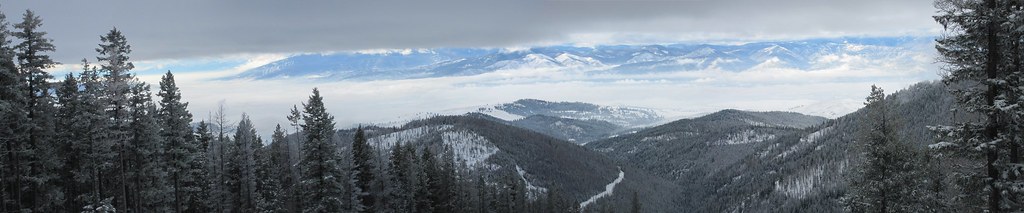 Photo: Evan-Lovely, CC BY-SA 2.0 (via Flickr)
Snowbowl Mountain Bike
~7 min drive
8.06-mile out-and-back trail in Montana with 60 ft of elevation gain.
 Photo: Forest Service - Northern Region, Public Domain Mark (via Flickr)
SAWMILL GULCH CUTOFF D
~10 min drive
2.36-mile out-and-back trail in Montana with 1,250 ft gain/loss and max elevation 4,810 ft.
 Photo: Forest Service - Northern Region, Public Domain Mark (via Flickr)
Stuart Peak
~10 min drive
26.06-mile out-and-back trail to Stuart Peak in Montana with 7,461 ft of elevation gain.
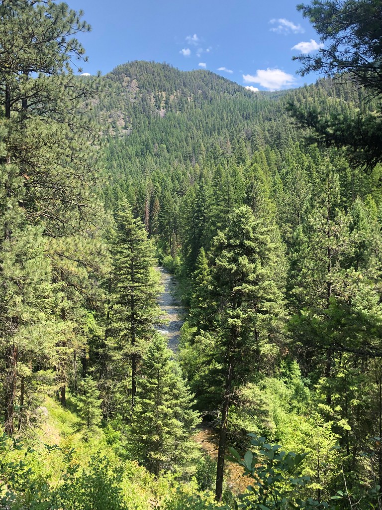 Photo: Forest Service - Northern Region, Public Domain Mark (via Flickr)
RATTLESNAKE CREEK CUTOFF G
~7 min drive
1.2-mile out-and-back trail in Montana with 227 ft elevation gain
Photo: Forest Service - Northern Region, Public Domain Mark (via Flickr)Spring Gulch
~10 min drive
3.64-mile out-and-back trail in Montana with 450 ft elevation gain.
 Photo: Forest Service - Northern Region, Public Domain Mark (via Flickr)
Rattlesnake Creek
~11 min drive
28.25-mile out-and-back trail in Montana with 1,641 ft of elevation gain.
Photo: Forest Service - Northern Region, Public Domain Mark (via Flickr)WALLMAN CUTOFF A
~7 min drive
1.38-mile out-and-back trail in Montana with 172 ft elevation gain
HIKE
Porcupine Creek
~6 min drive
7.50-mile out-and-back trail in Montana with 1,964 ft gain.
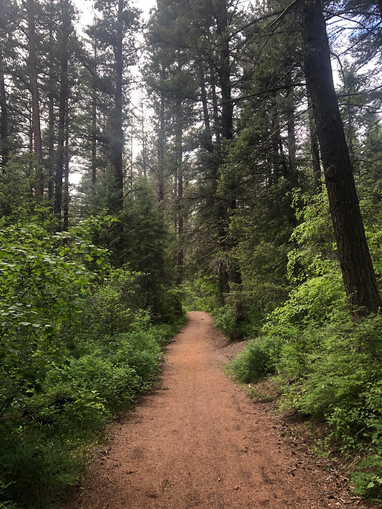 Photo: Forest Service - Northern Region, Public Domain Mark (via Flickr)
Sheep Mountain
~11 min drive
28.25-mile out-and-back trail in Montana with 3,314 ft elevation gain.
Photo: Forest Service - Northern Region, Public Domain Mark (via Flickr)SAWMILL GULCH CUTOFF A
~9 min drive
2.62-mile out-and-back trail in Montana with 708 ft elevation gain

