Windy Pass Cabin
Campground
Campground · 0.2 mi from the trail
Closure in the area
There's a closure order in Bozeman Ranger District. It doesn't name Windy Pass Cabin, so check the source for the area it covers (16 listed).
Sourdough/Bozeman Creek Trailhead and Trail Closure
Agency closure covering Bozeman Ranger District · Order 01-11-06-27-02 · USFS · Bozeman Ranger District
NFSR #1700 South Plateau Road Closure
Agency closure covering Custer Gallatin National Forest · USFS · Custer Gallatin National Forest
Storm Castle Creek Trail #185 Temporarily Closed Due to Storm Damage
Agency closure covering Bozeman Ranger District · Order 01-11-06-26-07 · USFS · Bozeman Ranger District
Hyalite Porcupine Buffalo Horn Summer Interim Travel Order and Map and Order # 01-11-00-26-02
Agency closure covering Custer Gallatin National Forest · Order 01-11-00-26-02 · USFS · Custer Gallatin National Forest
Hyalite Porcupine Buffalo Horn Winter Interim Travel Order and Map Order Number: #01-11-00-26-01
Agency closure covering Custer Gallatin National Forest · USFS · Custer Gallatin National Forest
As of · Source: USFS · Bozeman Ranger District. Agencies don't list every closure — check before you go.
Windy Pass Cabin is an easy out-and-back hike in the Bozeman Ranger District of Custer Gallatin National Forest in Montana, about 2 miles from the trailhead. The route rises from 9,072 feet to 9,547 feet, a climb of about 450 feet, and is open year-round. The trail is natural-surface and allows horses, so it works well for riders. Bikes are not permitted. The Forest Service manages the land. Windy Pass, a hike about 0.7 miles away, and East Windy Pass, a mountain biking route about 1.1 miles away, are the closest neighbors. The Gallatin River and the Uzumaki Boulder climbing area both lie about 2.9 miles off.
Windy Pass Cabin
Campground
Places © OpenStreetMap contributors
More in EmigrantNot on Roamze yet. Their page has how to reach them.
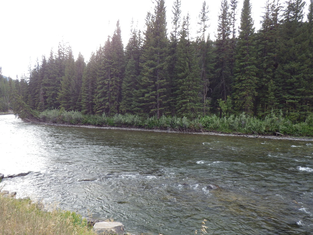 Photo: Matt Lavin, CC BY-SA 2.0 (via Flickr)
Upper Deer Creek
~10 min drive
0.35-mile out-and-back trail at Upper Deer Creek in Montana.
Photo: Matt Lavin, CC BY-SA 2.0 (via Flickr)Deer Creek
~11 min drive
16.42-mile out-and-back trail in Montana with 3,127 ft elevation gain.
 Photo: Greg Willis from Denver, CO, usa, CC BY-SA 2.0 (via Wikimedia Commons)
Tom Miner Divide Trail
~15 min drive
3.54-mile out-and-back trail in Montana with 1,782 ft of elevation gain
HIKE
Bark Cabin
~6 min drive
9.69-mile out-and-back trail with 2,260 ft elevation gain in Montana.
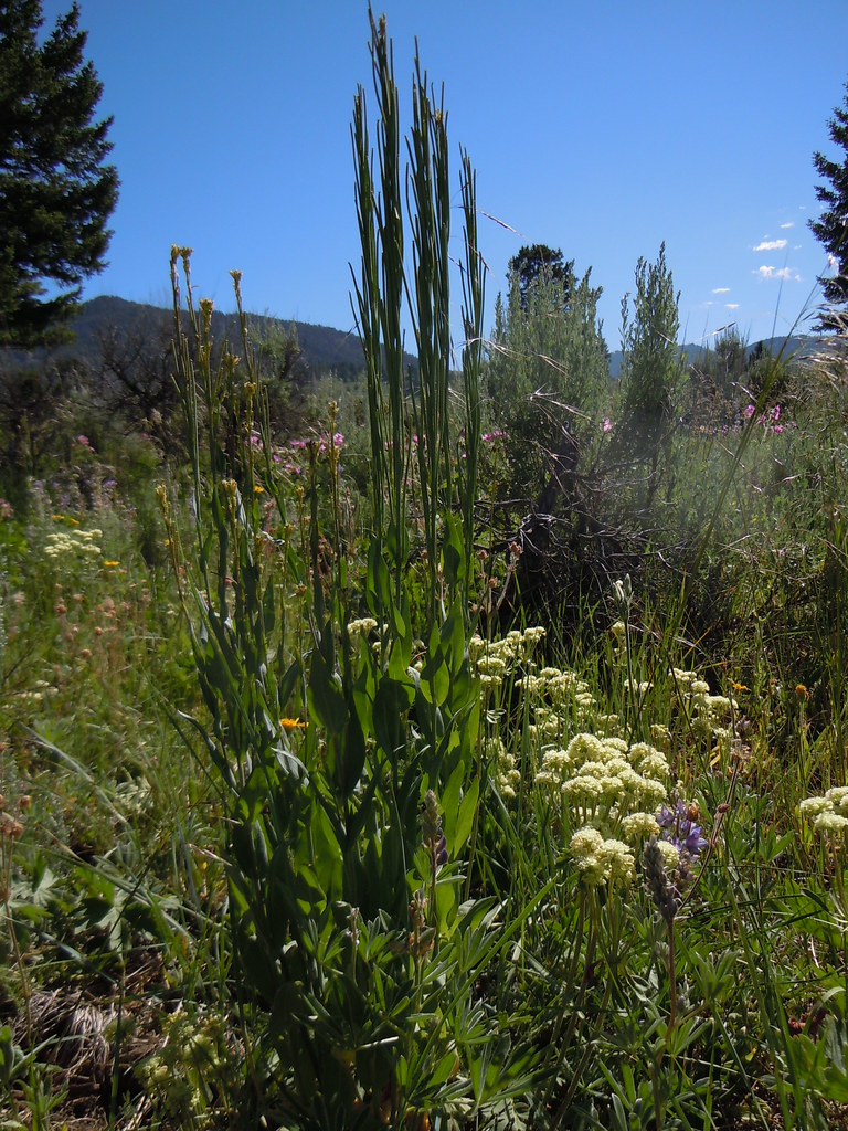 Photo: Matt Lavin, CC BY-SA 2.0 (via Flickr)
FIRST CREEK CUTOFF
~12 min drive
1.82-mile out-and-back trail in Montana with 535 ft elevation gain
HIKE
Windy Pass
~1 min drive
4.13-mile out-and-back trail in Montana with 1,261 ft elevation gain.
HIKE
East Windy Pass
~4 min drive
4.29-mile out-and-back trail in Montana with 1,376 ft elevation gain.
HIKE
Dudley Creek
~14 min drive
9.87-mile out-and-back trail in Montana with 2,430 ft gain.
Photo: Greg Willis from Denver, CO, usa, CC BY-SA 2.0 (via Wikimedia Commons)RAMSHORN LAKE
~15 min drive
1.12-mile out-and-back trail to Ramhorn Lake in Montana with 213 ft of elevation gain.
HIKE
MIST CREEK
~5 min drive
8.54-mile out-and-back trail in Montana with 4,492 ft gain/loss.

