
Yellowstone Safari Company
Hiking business nearby (~29 mi away) — hasn't claimed their Roamze page yet
0.35-mile out-and-back trail at Upper Deer Creek in Montana.
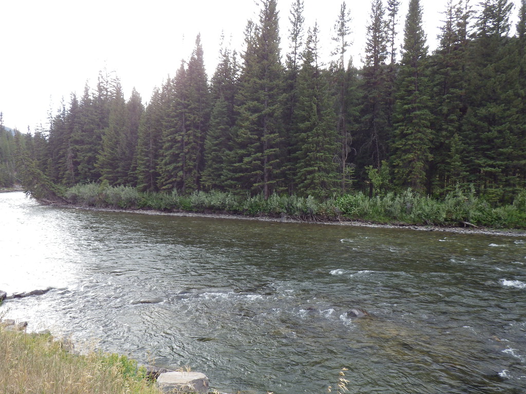 Photo: Matt Lavin, CC BY-SA 2.0 (via Flickr)
Closure in the area
There's a closure order in Custer Gallatin National Forest. It doesn't name Upper Deer Creek, so check the source for the area it covers (15 listed).
NFSR #1700 South Plateau Road Closure
Agency closure covering Custer Gallatin National Forest · USFS · Custer Gallatin National Forest
Storm Castle Creek Trail #185 Temporarily Closed Due to Storm Damage
Agency closure covering Bozeman Ranger District · Order 01-11-06-26-07 · USFS · Bozeman Ranger District
Hyalite Porcupine Buffalo Horn Summer Interim Travel Order and Map and Order # 01-11-00-26-02
Agency closure covering Custer Gallatin National Forest · Order 01-11-00-26-02 · USFS · Custer Gallatin National Forest
Hyalite Porcupine Buffalo Horn Winter Interim Travel Order and Map Order Number: #01-11-00-26-01
Agency closure covering Custer Gallatin National Forest · USFS · Custer Gallatin National Forest
Glacier Lake Road #2421 Closure Order Number: # 01-11-82-26- 01
Agency closure covering Custer Gallatin National Forest · Order 01-11-82-26- · USFS · Custer Gallatin National Forest
As of · Source: USFS · Custer Gallatin National Forest. Agencies don't list every closure — check before you go.
Best months: July–September. Best months have typical highs of 55–85 °F, lows of 30 °F or warmer (32 °F where the station doesn't record snow), at most one snowy day and no more than 12 wet days.
Jan
30° / 9°
13 wet
Feb
34° / 9°
11 wet
Mar
42° / 17°
12 wet
Apr
48° / 23°
11 wet
May
58° / 30°
14 wet
Jun
67° / 36°
14 wet
Jul
78° / 41°
11 wet
Aug
77° / 39°
11 wet
Sep
68° / 33°
10 wet
Oct
53° / 25°
10 wet
Nov
37° / 16°
11 wet
Dec
27° / 9°
14 wet
Typical high / low (°F) and days with rain or snow, 1991–2020. Measured at Big Sky 2wnw, MT, 5.8 mi away at 6,590 ft. The station sits about 700 ft higher than this place, so expect it a little warmer here. This station doesn't record snowfall. Source: NOAA NCEI U.S. Climate Normals 1991–2020.
Upper Deer Creek is a short, easy hike in the Bozeman Ranger District of Custer Gallatin National Forest in Montana, managed by the Forest Service. It sits about 0.35 miles from Deer Creek, another nearby route, and the trip works well as a quick outing or a link in a longer day on the district's trail network. The trail is an out-and-back, about 0.7 miles long with a total elevation gain of 43 feet. The route is mostly flat, with a small climb in the middle and the steepest stretch around 0.24 miles in. It is open to both horses and bikes, so it suits riders and pack animals as well as hikers. Summer is the most comfortable time to go. Typical averages from a nearby weather station in Big Sky show July highs around 78°F with lows near 41°F, while September and October tend to be cooler and drier. The route is rated easy, and the climb is one way.
 Photo: Matt Lavin, CC BY-SA 2.0 (via Flickr)
Reflector Trail
~7 min drive
2.47-mile loop in Montana with 1,214 ft gain/loss and 7,033 ft max elevation.
Photo: Matt Lavin, CC BY-SA 2.0 (via Flickr)Crail Ranch Trail
~8 min drive
1.16-mile out-and-back trail in Montana with 174 ft gain and 6,285 ft max elevation.
Photo: Matt Lavin, CC BY-SA 2.0 (via Flickr)Deer Creek
~1 min drive
16.42-mile out-and-back trail in Montana with 3,127 ft elevation gain.
Lake of the Pines Trail
~14 min drive
14.16-mile out-and-back hike in Montana with 2,652 ft elevation gain and loss.
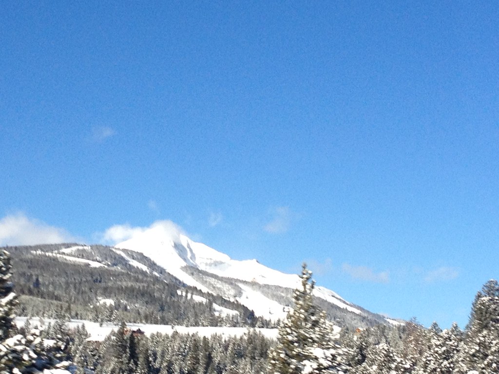 Photo: senatortester, Public Domain Mark (via Flickr)
Mountain to Meadow
~12 min drive
1.14-mile out-and-back trail in Montana with 1,119 ft gain/loss
Photo: Matt Lavin, CC BY-SA 2.0 (via Flickr)Ranch Loop
~9 min drive
0.74-mile out-and-back trail in Montana with 168 ft elevation gain.
Karst
~7 min drive
14.43-mile out-and-back trail in Montana with 3,916 ft elevation gain.
Dudley Creek
~5 min drive
9.87-mile out-and-back trail in Montana with 2,430 ft gain.
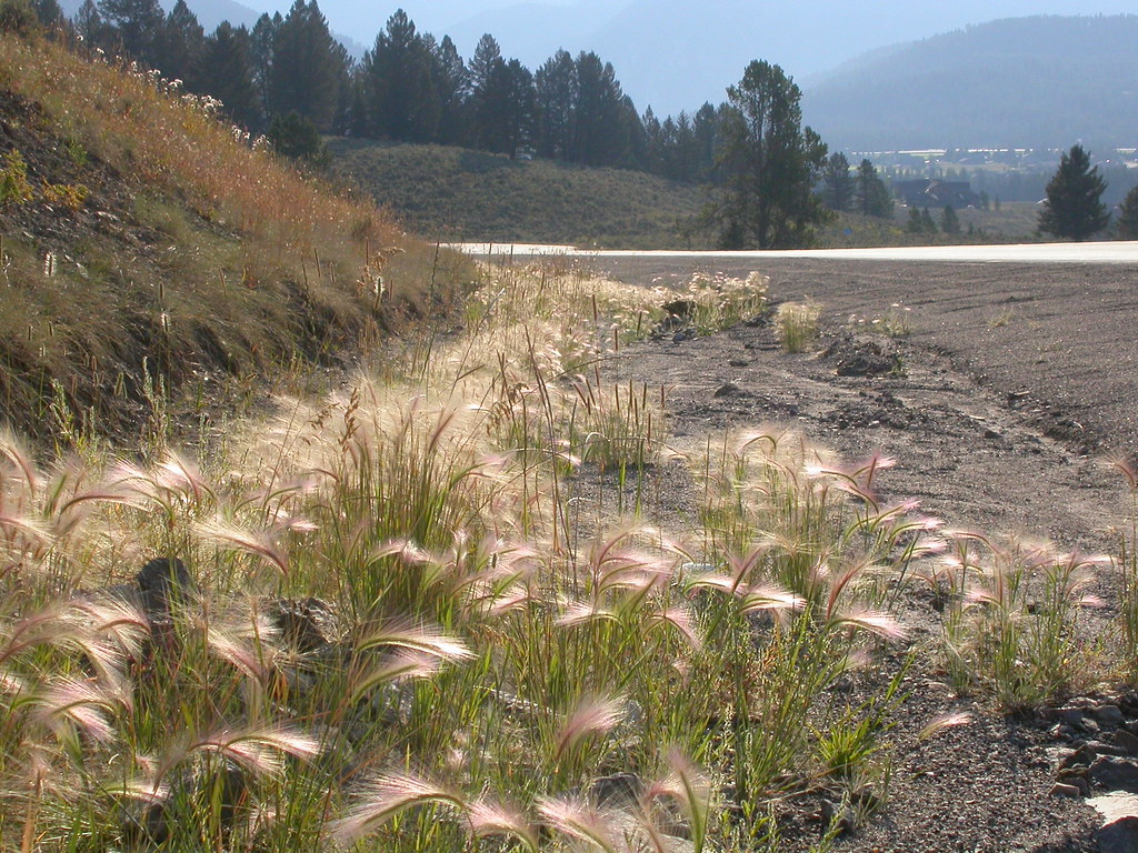 Photo: Matt Lavin, CC BY-SA 2.0 (via Flickr)
Powder Crest Trail
~13 min drive
4.16-mile out-and-back trail in Montana with 1,940 ft gain/loss.
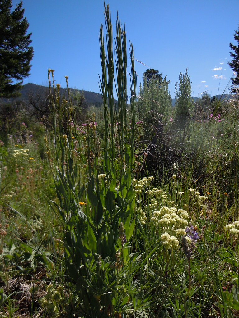 Photo: Matt Lavin, CC BY-SA 2.0 (via Flickr)
FIRST CREEK CUTOFF
~9 min drive
1.82-mile out-and-back trail in Montana with 535 ft elevation gain
Outfitters and businesses. They haven’t set up their Roamze page yet.
Yellowstone Safari Company
Hiking business nearby (~29 mi away) — hasn't claimed their Roamze page yet
