Windy Pass Cabin
Campground
Campground · 0.9 mi from the trail
Closure in the area
There's a closure order in Bozeman Ranger District. It doesn't name Windy Pass, so check the source for the area it covers (17 listed).
Hyalite Canyon South Road #620 Closure
Agency closure covering Bozeman Ranger District · Order 01-11-06-27-03 · USFS · Bozeman Ranger District
Sourdough/Bozeman Creek Trailhead and Trail Closure
Agency closure covering Bozeman Ranger District · Order 01-11-06-27-02 · USFS · Bozeman Ranger District
NFSR #1700 South Plateau Road Closure
Agency closure covering Custer Gallatin National Forest · USFS · Custer Gallatin National Forest
Storm Castle Creek Trail #185 Temporarily Closed Due to Storm Damage
Agency closure covering Bozeman Ranger District · Order 01-11-06-26-07 · USFS · Bozeman Ranger District
Hyalite Porcupine Buffalo Horn Summer Interim Travel Order and Map and Order # 01-11-00-26-02
Agency closure covering Custer Gallatin National Forest · Order 01-11-00-26-02 · USFS · Custer Gallatin National Forest
As of · Source: USFS · Bozeman Ranger District. Agencies don't list every closure — check before you go.
Windy Pass is a hard hike in the Bozeman Ranger District of Custer Gallatin National Forest in Montana, about 4 miles from the trailhead. The route is an out-and-back that climbs from a low point of about 8,000 feet to a high point of about 9,270 feet, with a total elevation gain of about 1,260 feet. The trail is on natural surface and is open to horses. The parking area is called Windy Pass/Golden Trout (Upper Portal), and the trail is open year-round. The pass sits close to several other destinations. Golden Trout Lakes is about half a mile away, and Windy Pass Cabin is about 0.7 miles off. Climbers can head to District One, about 2 miles away, and paddlers can reach the Gallatin River, about 3 miles away.
Windy Pass Cabin
Campground
Places © OpenStreetMap contributors
More in EmigrantNot on Roamze yet. Their page has how to reach them.
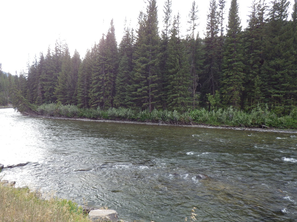 Photo: Matt Lavin, CC BY-SA 2.0 (via Flickr)
Upper Deer Creek
~9 min drive
0.35-mile out-and-back trail at Upper Deer Creek in Montana.
Photo: Matt Lavin, CC BY-SA 2.0 (via Flickr)Deer Creek
~10 min drive
16.42-mile out-and-back trail in Montana with 3,127 ft elevation gain.
 Photo: Greg Willis from Denver, CO, usa, CC BY-SA 2.0 (via Wikimedia Commons)
Tom Miner Divide Trail
~15 min drive
3.54-mile out-and-back trail in Montana with 1,782 ft of elevation gain
HIKE
Bark Cabin
~7 min drive
9.69-mile out-and-back trail with 2,260 ft elevation gain in Montana.
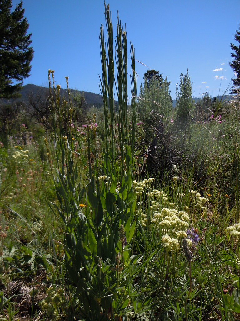 Photo: Matt Lavin, CC BY-SA 2.0 (via Flickr)
FIRST CREEK CUTOFF
~10 min drive
1.82-mile out-and-back trail in Montana with 535 ft elevation gain
HIKE
MIST CREEK
~7 min drive
8.54-mile out-and-back trail in Montana with 4,492 ft gain/loss.
Photo: Greg Willis from Denver, CO, usa, CC BY-SA 2.0 (via Wikimedia Commons)Tom Miner Divide South
~15 min drive
3.75-mile out-and-back trail in Montana with 658 ft gain.
HIKE
Dudley Creek
~13 min drive
9.87-mile out-and-back trail in Montana with 2,430 ft gain.
Photo: Greg Willis from Denver, CO, usa, CC BY-SA 2.0 (via Wikimedia Commons)RAMSHORN LAKE
~14 min drive
1.12-mile out-and-back trail to Ramhorn Lake in Montana with 213 ft of elevation gain.
HIKE
Big Creek
~7 min drive
22.96-mile out-and-back trail in Montana with 2,980 ft elevation gain.

