Windy Pass Cabin
Campground
Campground · 3.1 mi from the trail
Closure in the area
There's a closure order in Yellowstone Ranger District. It doesn't name MIST CREEK, so check the source for the area it covers (13 listed).
East Fork of the Mill Creek Trail Bridge Stock Closure
Agency closure covering Yellowstone Ranger District · Order 01-11-04-26-03 · USFS · Yellowstone Ranger District
NFSR #1700 South Plateau Road Closure
Agency closure covering Custer Gallatin National Forest · USFS · Custer Gallatin National Forest
Hyalite Porcupine Buffalo Horn Summer Interim Travel Order and Map and Order # 01-11-00-26-02
Agency closure covering Custer Gallatin National Forest · Order 01-11-00-26-02 · USFS · Custer Gallatin National Forest
Hyalite Porcupine Buffalo Horn Winter Interim Travel Order and Map Order Number: #01-11-00-26-01
Agency closure covering Custer Gallatin National Forest · USFS · Custer Gallatin National Forest
Glacier Lake Road #2421 Closure Order Number: # 01-11-82-26- 01
Agency closure covering Custer Gallatin National Forest · Order 01-11-82-26- · USFS · Custer Gallatin National Forest
As of · Source: USFS · Yellowstone Ranger District. Agencies don't list every closure — check before you go.
Mist Creek is a hard hike in the Yellowstone Ranger District of Custer Gallatin National Forest in Montana, managed by the Forest Service. The route is an out-and-back of about 8.5 miles, starting at roughly 7,000 feet and climbing to about 9,900 feet. The climb is front-loaded, with the steepest stretch around 3.2 miles in, where the grade reaches about 31 percent. The total gain is about 4,492 feet, and the trip ends at the same elevation it begins. The hike is a serious commitment. The route is long and steep, and the high point is well above 9,900 feet. Plan for a full day on foot, and expect the most demanding part of the climb to come early. Big Creek lies just 0.1 mile away, and Bark Cabin is about 1.2 miles off. Farther out, the Gallatin River offers canoeing about 4.4 miles away, and Big Creek Cabin is a campground about 6.3 miles away.
Windy Pass Cabin
Campground
Places © OpenStreetMap contributors
More in EmigrantNot on Roamze yet. Their page has how to reach them.
Daily highs and lows, wind and the chance of precipitation at the summit and route start for the next 7 days, from the Open-Meteo model.
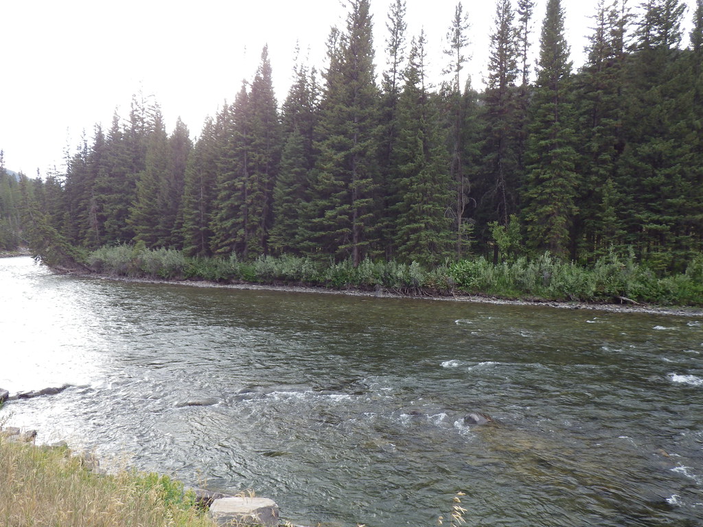
 Gallatin RiverCanoeingPhoto: Jim from Lexington, KY, USA, CC BY-SA 2.0 (via Wikimedia Commons)4.4 mi
Source: Roamze catalog (indexable pages within 10 miles, PostGIS distance)
 Upper Deer CreekHiking · ~15 min drivePhoto: Matt Lavin, CC BY-SA 2.0 (via Flickr)
 Buffalo Horn PassHiking · ~16 min drivePhoto: Greg Willis from Denver, CO, usa, CC BY-SA 2.0 (via Wikimedia Commons)Deer CreekHiking · ~15 min drivePhoto: Matt Lavin, CC BY-SA 2.0 (via Flickr)
 Tom Miner Divide TrailHiking · ~17 min drivePhoto: Greg Willis from Denver, CO, usa, CC BY-SA 2.0 (via Wikimedia Commons)Tom Miner Divide SouthHiking · ~17 min drivePhoto: Greg Willis from Denver, CO, usa, CC BY-SA 2.0 (via Wikimedia Commons)
About 4.3 mi round trip.
About 4,492 ft of climbing round trip.
It is rated hard.
About 3.5 hours round trip.
