Sunlight-005a
Campground
Campground · 1.4 mi from the trail
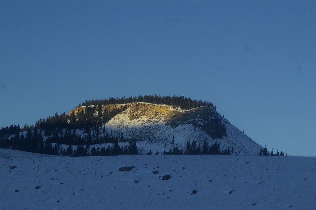
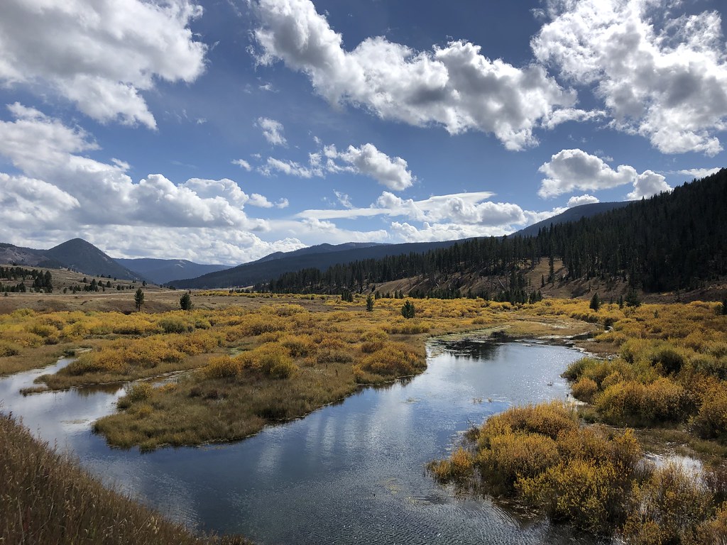
 Photo: Greg Willis from Denver, CO, usa, CC BY-SA 2.0 (via Wikimedia Commons)
Closure in the area
There's a closure order in Custer Gallatin National Forest. It doesn't name Tom Miner Divide Trail, so check the source for the area it covers (14 listed).
NFSR #1700 South Plateau Road Closure
Agency closure covering Custer Gallatin National Forest · USFS · Custer Gallatin National Forest
Tom Miner Campground Closure
Agency closure covering Gardiner Ranger District · Order 01-11-03-26-02 · USFS · Gardiner Ranger District
Hyalite Porcupine Buffalo Horn Summer Interim Travel Order and Map and Order # 01-11-00-26-02
Agency closure covering Custer Gallatin National Forest · Order 01-11-00-26-02 · USFS · Custer Gallatin National Forest
Hyalite Porcupine Buffalo Horn Winter Interim Travel Order and Map Order Number: #01-11-00-26-01
Agency closure covering Custer Gallatin National Forest · USFS · Custer Gallatin National Forest
Glacier Lake Road #2421 Closure Order Number: # 01-11-82-26- 01
Agency closure covering Custer Gallatin National Forest · Order 01-11-82-26- · USFS · Custer Gallatin National Forest
As of · Source: USFS · Custer Gallatin National Forest. Agencies don't list every closure — check before you go.
The Tom Miner Divide Trail is a moderate out-and-back hike in the Gardiner Ranger District of Custer Gallatin National Forest in Montana. It runs about 3.5 miles round trip, with a high point of 10,179 feet and a low of 8,517 feet. The trail gains about 1,780 feet in elevation, which makes it a climb as much as a route. The steepest stretch comes at about 1.6 miles, where the grade reaches 43%. The trail starts near the 8,500-foot level, so plan on a steady climb from the outset. The round trip takes about two hours, and the Forest Service manages the land. The Tom Miner Divide South hike begins just 0.1 mile away, and the Tom Miner Divide and Buffalo Horn Pass mountain biking routes are each about 0.7 mile off. Tom Miner Campground is roughly 2 miles away for anyone planning an overnight stay.
Sunlight-005a
Campground
Places © Overture Maps Foundation
More in EmigrantNot on Roamze yet. Their page has how to reach them.
Daily highs and lows, wind and the chance of precipitation at the summit and route start for the next 7 days, from the Open-Meteo model.
Tom Miner Divide SouthHikingPhoto: Greg Willis from Denver, CO, usa, CC BY-SA 2.0 (via Wikimedia Commons)0.1 mi Buffalo Horn PassMountain bikingPhoto: Greg Willis from Denver, CO, usa, CC BY-SA 2.0 (via Wikimedia Commons)0.7 mi
Source: Roamze catalog (indexable pages within 10 miles, PostGIS distance)
RAMSHORN LAKEHiking · ~2 min drivePhoto: Greg Willis from Denver, CO, usa, CC BY-SA 2.0 (via Wikimedia Commons) Buffalo Horn PassHiking · ~3 min drivePhoto: Greg Willis from Denver, CO, usa, CC BY-SA 2.0 (via Wikimedia Commons)
 Elk HornHiking · ~11 min drivePhoto: Forest Service - Northern Region, Public Domain Mark (via Flickr)
 Black Butte Trailhead (WK2)Hiking · ~12 min drivePhoto: hesyifei, CC BY-SA 2.0 (via Flickr)SunlightHiking · ~3 min drivePhoto: Greg Willis from Denver, CO, usa, CC BY-SA 2.0 (via Wikimedia Commons)
 Teepee CreekHiking · ~9 min drivePhoto: Forest Service - Northern Region, Public Domain Mark (via Flickr)Dailey Creek Trailhead (WK1)Hiking · ~11 min drivePhoto: hesyifei, CC BY-SA 2.0 (via Flickr)
About 1.8 mi round trip.
About 1,782 ft of climbing round trip.
It is rated moderate.
About 1.5 hours round trip.
Map and trail data © OpenStreetMap contributors
