Swamp Creek Trail
- 7.1 mi
- round trip
- 1,723 ft
- climb
- 5,945 ft
- high point
- Out and back
- route
Is Swamp Creek Trail open right now?
Closure in the area
There's a closure order in Kootenai National Forest. It doesn't name Swamp Creek Trail, so check the source for the area it covers.
Kootenai Flood Event & Inaccessible Areas
Agency closure covering Kootenai National Forest · USFS · Kootenai National Forest
Updated Skillet Fire Area, Road, Trail Closure
Agency alert covering Kootenai National Forest · Order 01-10- · USFS · Kootenai National Forest
As of · Source: USFS · Kootenai National Forest. Agencies don't list every closure — check before you go.
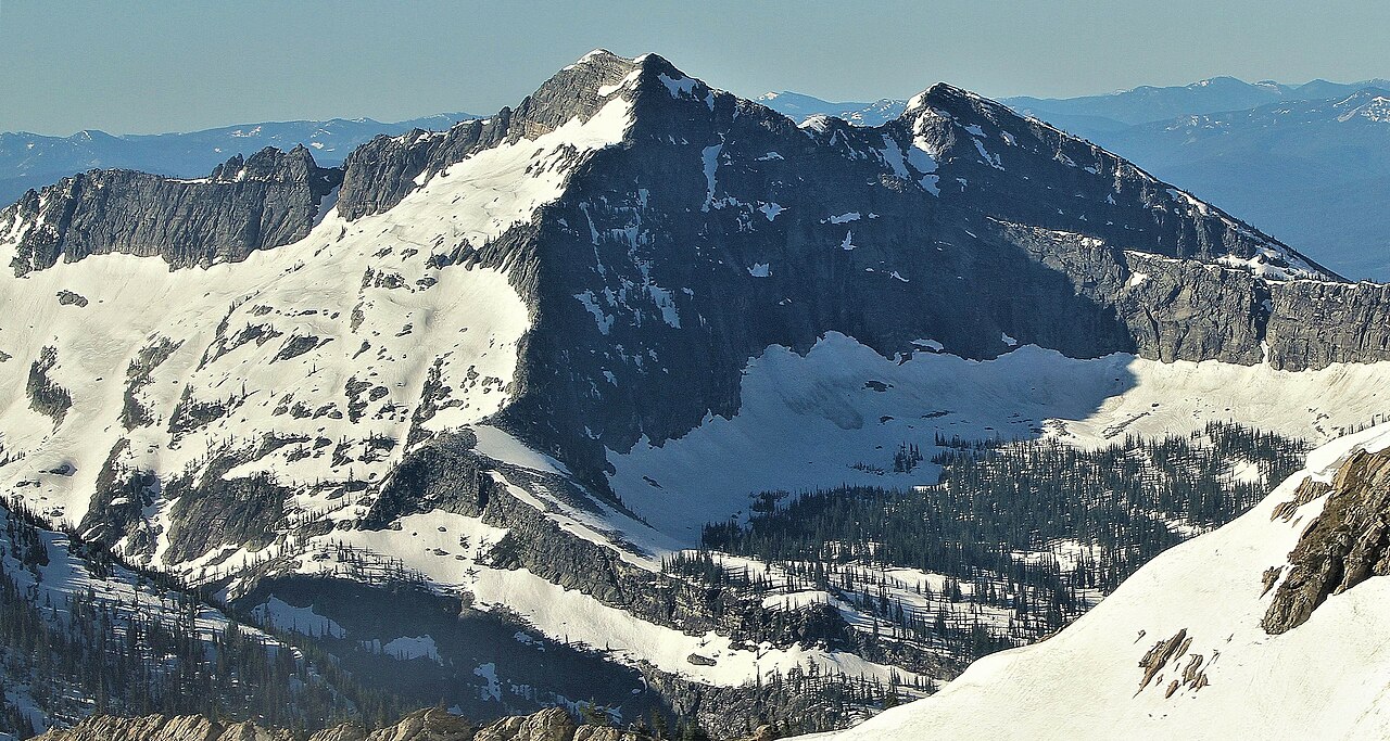
Swamp Creek Trail is a 7.1-mile out-and-back hike in the Cabinet Mountains Wilderness, part of the Cabinet Ranger District of Kootenai National Forest in northwest Montana. The Forest Service manages the land, and the trail crosses wilderness boundaries, so plan on a route that stays within designated backcountry. The climb is moderate, with a one-way gain of 1,723 feet from a low point of about 4,223 feet to a high of about 5,945 feet. That makes for a steady, not punishing, ascent over the course of the day. Buck Lake sits just 0.1 mile away, and the Cabinet Divide South Trail and its mountain biking route are about 0.6 mile off. For an overnight base, Lake Creek Campground is about 4.3 miles away.
Local outfitters
- Kootenai River Campground38 mi away
- CDA River RV48 mi away
Not on Roamze yet. Their page has how to reach them.
- Buck LakeHiking0.1 mi
- Cabinet Divide South TrailHiking0.6 mi
- Cabinet Divide SouthMountain biking0.6 mi
- Lake Creek CampgroundCamping4.3 mi
- Ojibway PeakRock climbing4.8 mi
- Howard Lake CampgroundCamping6.8 mi
- Silver Butte Fisher RiverCanoeing7 mi
- Fisher RiverCanoeing9.7 mi
Source: Roamze catalog (indexable pages within 10 miles, PostGIS distance)
- Cabinet Divide South TrailHiking · Next door
- Swamp CreekHiking · ~2 min drive
- Upper Geiger LakeHiking · ~2 min drive
- DIVIDE CUTOFFHiking · ~5 min drive
- Wanless LakeHiking · ~3 min drive
- Engle PeakHiking · ~5 min drive
- MillHiking · ~6 min drive
- Lake CreekHiking · ~3 min drive
- Baree LakeHiking · ~5 min drive
- Bramlet CreekHiking · ~6 min drive
Map and trail data © OpenStreetMap contributors
