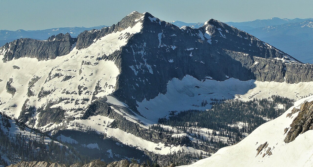
Upper Geiger Lake
- 0.4 mi
- round trip
- 35 ft
- climb
- 5,415 ft
- high point
- Out and back
- route
Is Upper Geiger Lake open right now?
Closure in the area
There's a closure order in Kootenai National Forest. It doesn't name Upper Geiger Lake, so check the source for the area it covers.
Kootenai Flood Event & Inaccessible Areas
Agency closure covering Kootenai National Forest · USFS · Kootenai National Forest
Updated Skillet Fire Area, Road, Trail Closure
Agency alert covering Kootenai National Forest · Order 01-10- · USFS · Kootenai National Forest
Trail Advisory-Alexander Mountain Trail near Timber Harvest Activities
Agency alert covering Libby Ranger District · USFS · Libby Ranger District
Timberlane Campground Closure
Agency alert covering Libby Ranger District · Order 01-14-05-26-03 · USFS · Libby Ranger District
As of · Source: USFS · Kootenai National Forest. Agencies don't list every closure — check before you go.
Upper Geiger Lake is a short, easy hike in the Cabinet Mountains Wilderness, part of the Libby Ranger District of Kootenai National Forest in northwest Montana. The Forest Service manages the land, and the trail is a natural-surface out-and-back that covers about 0.8 miles with a total elevation gain of about 35 feet. The route starts and ends at roughly 5,372 feet, with the high point at about 5,415 feet. The hike is rated easy, and the climb is gentle, making it a quick stop for anyone already exploring the area. Bikes are not allowed on this trail. Lake Creek, a mountain biking area, sits about 0.2 miles away, and the Cabinet Divide South Trail is about 0.8 miles off. For an overnight stay, Lake Creek Campground is about 2.9 miles away, and Howard Lake Campground is about 5.8 miles away.
Local outfitters
- Kootenai River Campground37 mi away
- CDA River RV49 mi away
Not on Roamze yet. Their page has how to reach them.
Keep exploring — more trails worth the drive
HIKE
Lake Creek
Next door
7.40-mile out-and-back trail in Montana with 2,263 ft elevation gain.
HIKE
Cabinet Divide South Trail
~1 min drive
10.55-mile out-and-back hike in Montana with 1,555 ft gain
HIKE
Divide Trail 6 (Silver Butte)
~5 min drive
1.04-mile out-and-back trail in Montana with 8 feet of elevation gain.
HIKE
Swamp Creek
~4 min drive
17.65-mile out-and-back trail in Montana with 687 ft elevation gain.
HIKE
Swamp Creek Trail
~2 min drive
7.08-mile out-and-back trail in Montana with 1,723 ft elevation gain.
HIKE
Baree Lake
~6 min drive
0.61-mile out-and-back trail to Baree Lake in Montana.
HIKE
Divide Cutoff Trail
~5 min drive
6.32-mile out-and-back trail in Montana with 3,299 ft elevation gain and loss.
HIKE
Bramlet Creek
~3 min drive
3.81-mile out-and-back trail in Montana with 772 ft elevation gain.
HIKE
Engle Peak
~7 min drive
0.95-mile loop with 863 ft gain at Engle Peak, Montana
HIKE
Wanless Lake
~5 min drive
14.52-mile out-and-back trail in Montana with 5,212 ft elevation gain.