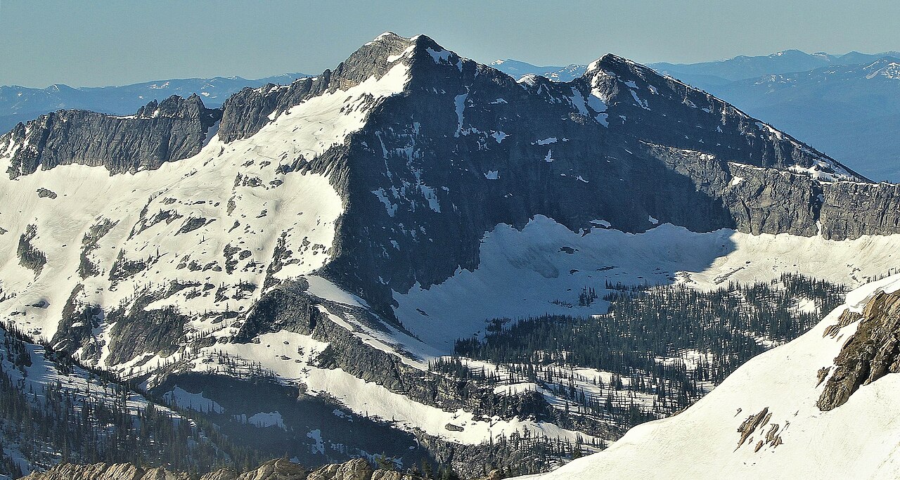
Ojibway Peak
- 5 routes
- 5.7 – 5.10a
- Alpine
Is Ojibway Peak open right now?
Closure in the area
There's a closure order in Kootenai National Forest. It doesn't name Ojibway Peak, so check the source for the area it covers.
Kootenai Flood Event & Inaccessible Areas
Agency closure covering Kootenai National Forest · USFS · Kootenai National Forest
Updated Skillet Fire Area, Road, Trail Closure
Agency alert covering Kootenai National Forest · Order 01-10- · USFS · Kootenai National Forest
As of · Source: USFS · Kootenai National Forest. Agencies don't list every closure — check before you go.
Ojibway Peak is an alpine climbing area in the Cabinet Ranger District of Montana's Kootenai National Forest, managed by the Forest Service. Five alpine routes sit here, with grades ranging from 5.7 to 5.10a. The Standard Route is the easiest at 5.7, and the Modern Direct is the hardest at 5.10a. The routes are all alpine in style, and the area is close to several other outdoor spots. The Wayup Mine mountain biking trail is about 1.7 miles away, and the Libby Creek and Rock Lake hikes are within about 2.5 miles. For an overnight base, Howard Lake Campground is roughly 4.9 miles off.
- Wayup MineMountain biking1.7 mi
- Libby CreekHiking1.8 mi
- Gloria MineMountain biking2.3 mi
- Rock LakeHiking2.5 mi
- MillHiking3 mi
- Howard Lake CampgroundCamping4.9 mi
- Lake Creek CampgroundCamping6.3 mi
- Bull River Guard StationCamping8 mi
Source: Roamze catalog (indexable pages within 10 miles, PostGIS distance)