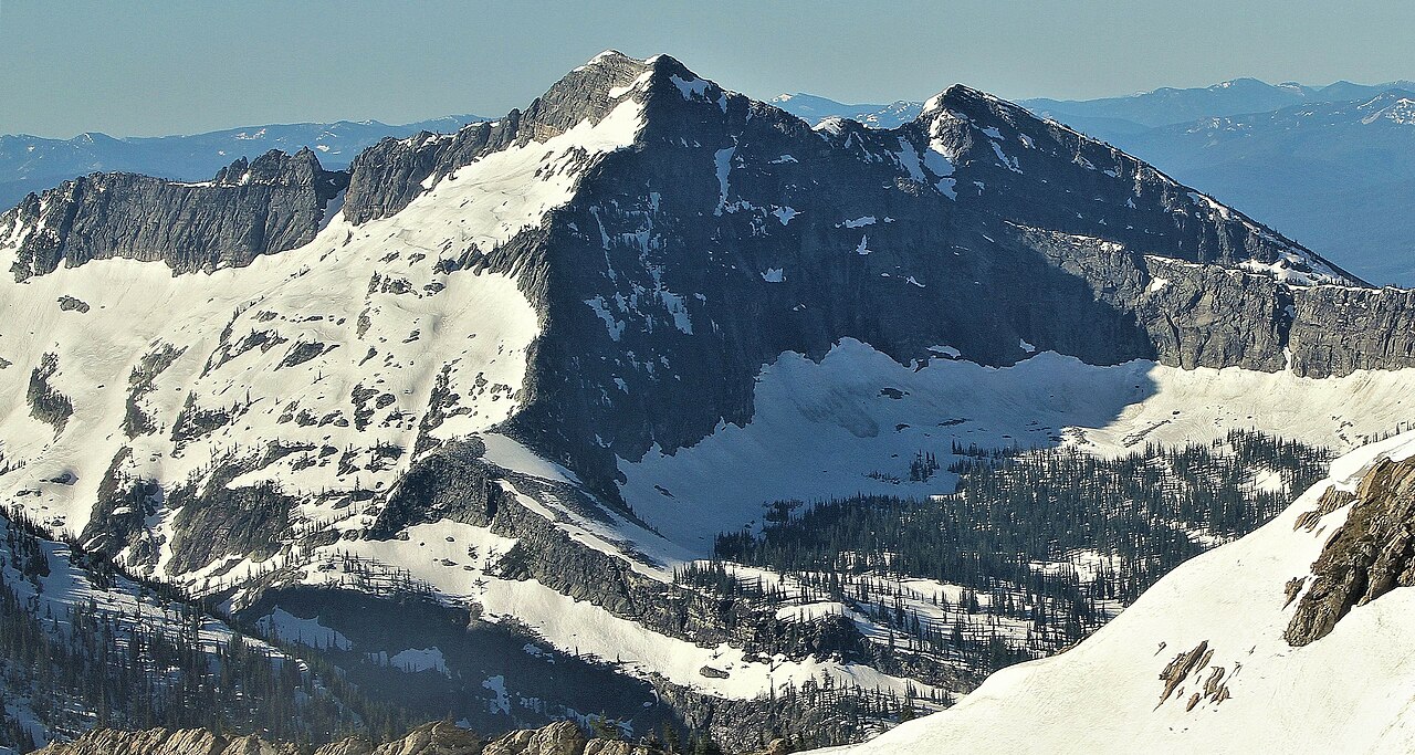
Bramlet Creek
- 3.8 mi
- round trip
- 772 ft
- climb
- 5,611 ft
- high point
- Out and back
- route
Is Bramlet Creek open right now?
Closure in the area
There's a closure order in Kootenai National Forest. It doesn't name Bramlet Creek, so check the source for the area it covers.
Kootenai Flood Event & Inaccessible Areas
Agency closure covering Kootenai National Forest · USFS · Kootenai National Forest
Updated Skillet Fire Area, Road, Trail Closure
Agency alert covering Kootenai National Forest · Order 01-10- · USFS · Kootenai National Forest
Trail Advisory-Alexander Mountain Trail near Timber Harvest Activities
Agency alert covering Libby Ranger District · USFS · Libby Ranger District
Timberlane Campground Closure
Agency alert covering Libby Ranger District · Order 01-14-05-26-03 · USFS · Libby Ranger District
As of · Source: USFS · Kootenai National Forest. Agencies don't list every closure — check before you go.
Bramlet Creek is a 3.8-mile out-and-back hike in the Libby Ranger District of Montana's Kootenai National Forest. The trail is a moderate climb with a total elevation gain of 772 feet, rising from about 4,600 feet to a high point near 5,600 feet. The trailhead is BRAMLET CREEK TH 658, and the route is natural surfaced. The trip is open from June 1 through November 30. For a longer stay, Lake Creek Campground sits about 1.9 miles away and Howard Lake Campground about 3.9 miles away. Nearby, the Mill/ozette and Fourth of July mountain biking routes lie about a mile off. The Mill hike is about 1.4 miles away, and Ojibway Peak, a climbing area, is about 4.4 miles away.
- Mill/ozetteMountain biking1 mi
- Fourth of JulyMountain biking1.1 mi
- MillHiking1.4 mi
- Lake Creek CampgroundCamping1.9 mi
- Howard Lake CampgroundCamping3.9 mi
- Ojibway PeakRock climbing4.4 mi
- Silver Butte Fisher RiverCanoeing6.8 mi
- Fisher RiverCanoeing7.6 mi
Source: Roamze catalog (indexable pages within 10 miles, PostGIS distance)
- Fourth of JulyHiking · ~2 min drive
- Standard CreekHiking · ~3 min drive
- Upper Geiger LakeHiking · ~3 min drive
- MillHiking · ~2 min drive
- Lake CreekHiking · ~3 min drive
- Teeters PeakHiking · ~5 min drive
- Silver DollarHiking · ~3 min drive
- Great Northern MountainHiking · ~7 min drive
- Buck LakeHiking · ~6 min drive
- Gloria MineHiking · ~3 min drive