Spruce Creek
- 5.6 mi
- round trip
- 985 ft
- climb
- 5,830 ft
- high point
- Out and back
- route
- Jun–Sep
- best months
Is Spruce Creek open right now?
No closures listed
The Forest Service lists no closures for Helena-Lewis and Clark National Forest.
As of · Source: USFS · Helena-Lewis and Clark National Forest. Agencies don't list every closure — check before you go.
Spruce Creek is a 5.6-mile out-and-back hike in the Townsend Ranger District of the Helena-Lewis and Clark National Forest in Montana. The trail rises from a low point of 4,825 feet to a high of 5,830 feet, a climb of about 1,000 feet, and is rated moderate. The route is on natural surface, and the Forest Service allows both horses and bikes. It is open year-round. Summer is the most comfortable time to go. Typical averages from a nearby weather station run to highs around 80°F in July and August, with lows in the mid-40s. That station sits about 860 feet lower than the trail's high point, so temperatures on the ridge run cooler. Miller Cabin campground is about 2 miles away, and Boulder Lakes is about 2.6 miles off. The Big Belt Mountains climbing area lies about 4.7 miles away, and the Cayuse Spur hike is about 5.9 miles away.
Local outfitters
- MTBCity31 mi away
Not on Roamze yet. Their page has how to reach them.
Best time to go · Jun–Sep
Best time to visit Spruce Creek
Best months: June–September. Best months have typical highs of 55–85 °F, lows of 30 °F or warmer (32 °F where the station doesn't record snow), at most one snowy day and no more than 12 wet days.
Jan
33° / 11°
8 wet
Feb
35° / 12°
7 wet
Mar
44° / 20°
9 wet
Apr
52° / 26°
11 wet
May
61° / 34°
13 wet
Jun
70° / 41°
12 wet
Jul
80° / 46°
9 wet
Aug
80° / 45°
7 wet
Sep
69° / 37°
6 wet
Oct
54° / 28°
7 wet
Nov
41° / 18°
7 wet
Dec
32° / 11°
7 wet
Typical high / low (°F) and days with rain or snow, 1991–2020. Measured at Millegan 14 Se, MT, 22.9 mi away at 4,970 ft. The station sits about 900 ft lower than this place, so expect it a little cooler here. This station doesn't record snowfall. Source: NOAA NCEI U.S. Climate Normals 1991–2020.
Keep exploring — more trails worth the drive
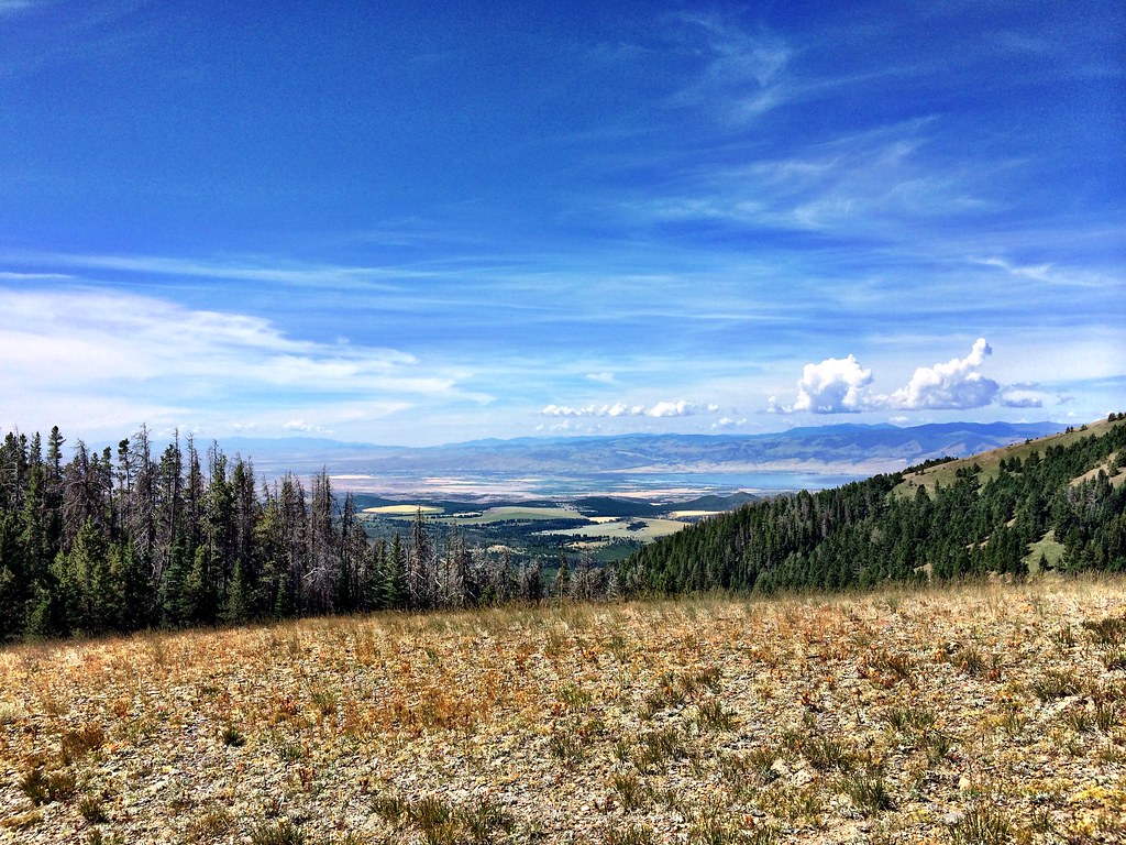 Photo: Forest Service - Northern Region, CC BY 2.0 (via Flickr)
LITTLE CAMAS CREEK
~18 min drive
7.52-mile out-and-back trail in Montana with 1,913 ft elevation gain and loss.
Photo: Forest Service - Northern Region, CC BY 2.0 (via Flickr)Hidden Lake
~19 min drive
9.89-mile out-and-back trail to Hidden Lake in Montana with 1,046 ft elevation gain.
 Photo: Forest Service - Northern Region, CC BY 2.0 (via Flickr)
Gipsy Lake Campground Loop
~21 min drive
0.85-mile out-and-back out-and-back at Gipsy Lake Campground in Montana with 91 ft of elevation gain.
HIKE
Pickfoot
~11 min drive
5.44-mile out-and-back trail in Montana with 32 ft gain and 1,528 ft loss.
 Photo: Forest Service - Northern Region, CC BY 2.0 (via Flickr)
Holloway
~30 min drive
6.05-mile out-and-back trail in Montana with 2,736 ft elevation gain.
HIKE
Cayuse Spur
~10 min drive
2.08-mile out-and-back trail in Montana with 619 ft of elevation gain.
HIKE
Camas
~13 min drive
4.76-mile out-and-back trail in Montana with 1,005 ft elevation gain.
Photo: Forest Service - Northern Region, CC BY 2.0 (via Flickr)Gipsy
~21 min drive
12.41-mile out-and-back trail in Montana with 908 ft elevation gain
HIKE
Camas Lake
~13 min drive
1.94-mile out-and-back trail to Camas Lake in Montana with 216 ft of elevation gain.
HIKE
FRONTAGE TRAIL
~20 min drive
8.54-mile out-and-back trail in Montana with 1,328 ft elevation gain
