Little Camas Creek
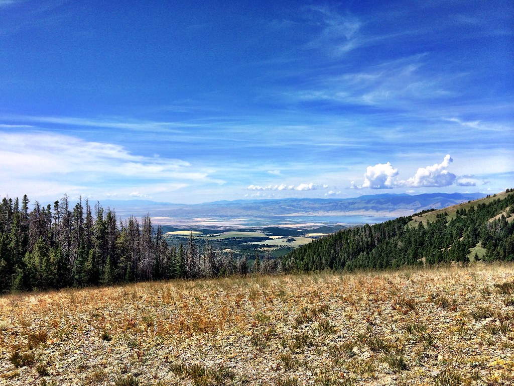 Photo: Forest Service - Northern Region, CC BY 2.0 (via Flickr)
- 3.8 mi
- round trip
- 1,913 ft
- climb
- 7,505 ft
- high point
- Out and back
- route
Is LITTLE CAMAS CREEK open right now?
No closures listed
The Forest Service lists no closures for Helena-Lewis and Clark National Forest.
As of · Source: USFS · Helena-Lewis and Clark National Forest. Agencies don't list every closure — check before you go.
Little Camas Creek is a moderate out-and-back hike in the Townsend Ranger District of the Helena-Lewis and Clark National Forest in Montana. The route is about 7.5 miles long, with a total climb of 1,913 feet and a steepest stretch of about 30% grade at the 3-mile mark. The trail starts near 7,500 feet and reaches a high point of about 7,505 feet, with the low point at roughly 6,935 feet. The hike is a full day's outing, with the climb split evenly between the ascent and descent. The steepest part comes early, so plan for a steady pace. Hidden Lake lies about half a mile away, and the West Big Belts Gfa - Duck Creek Cua campground is about a mile off. Belt Mountain Divide is about 1.6 miles away, and Gipsy Lake Campground is about 2.3 miles away.
Local outfitters
- MTBCity39 mi away
Not on Roamze yet. Their page has how to reach them.
- Hidden LakeHikingPhoto: Forest Service - Northern Region, CC BY 2.0 (via Flickr)0.5 mi
- West Big Belts Gfa - Duck Creek CuaCamping1.1 mi
- Belt Mountain DivideHiking1.6 mi
- West Big Belts Gfa - Boulder Lakes CuaCamping2 mi
- Gipsy Lake CampgroundCamping2.3 mi
- Big Belt MountainsRock climbing6.1 mi
- Big Birch CreekCanoeing6.2 mi
- Camas CreekCanoeing9.6 mi
Source: Roamze catalog (indexable pages within 10 miles, PostGIS distance)
- Hidden LakeHiking · Next doorPhoto: Forest Service - Northern Region, CC BY 2.0 (via Flickr)
 Gipsy Lake Campground LoopHiking · ~4 min drivePhoto: Forest Service - Northern Region, CC BY 2.0 (via Flickr)
- NeedlesHiking · ~7 min drive
- GipsyHiking · ~4 min drivePhoto: Forest Service - Northern Region, CC BY 2.0 (via Flickr)
- Grace LakeHiking · ~6 min drive
- PickfootHiking · ~8 min drive
 HollowayHiking · ~13 min drivePhoto: Forest Service - Northern Region, CC BY 2.0 (via Flickr)
- Camas LakeHiking · ~7 min drive
- West Fork Cabin GulchHiking · ~15 min drive
- Belt Mountain DivideHiking · ~3 min drive

