Thompson Hellgate
- 5.8 mi
- round trip
- 2,884 ft
- climb
- 6,498 ft
- high point
- Out and back
- route
- May–Sep
- best months
Is Thompson Hellgate open right now?
No closures listed
The Forest Service lists no closures for Helena-Lewis and Clark National Forest.
As of · Source: USFS · Helena-Lewis and Clark National Forest. Agencies don't list every closure — check before you go.
Thompson Hellgate is a moderate out-and-back hike of about 5.8 miles in the Townsend Ranger District of the Helena-Lewis and Clark National Forest in Montana. The route rises from a low point of about 5,300 feet to a high point of about 6,500 feet, with a total elevation gain of roughly 2,884 feet for the full trip. That makes it a climb of about 1,442 feet one way. The trail is natural surfaced and open to both bikes and horses, which gives riders and pack animals a way to make the trip. The Forest Service manages the land, and the route stays open year-round, with an estimated time of about 3.5 hours. Summer is the most comfortable time to go. Typical July and August highs reach about 78°F with lows near 47°F, based on averages from a nearby weather station in Adel. That station sits well below the trail, so temperatures on the high point run cooler. Hunters Gulch Connection lies just under a mile away, and Cayuse and Carpenter are each about 2.5 miles off. West Big Belts Gfa - Magpie Creek Cua offers camping about 3.3 miles from the trail.
Local outfitters
- MTBCity27 mi away
Not on Roamze yet. Their page has how to reach them.
Best time to go · May–Sep
Best time to visit Thompson Hellgate
Best months: May–September. Best months have typical highs of 55–85 °F, lows of 30 °F or warmer (32 °F where the station doesn't record snow), at most one snowy day and no more than 12 wet days.
Jan
36° / 14°
Feb
37° / 14°
Mar
43° / 21°
Apr
50° / 27°
May
58° / 35°
Jun
67° / 42°
Jul
78° / 47°
Aug
78° / 46°
Sep
68° / 39°
Oct
53° / 31°
Nov
42° / 23°
Dec
33° / 15°
Typical high / low (°F) and days with rain or snow, 1991–2020. Measured at Adel, MT, 20.7 mi away at 5,017 ft. The station sits about 1,500 ft lower than this place, so expect it a little cooler here. This station doesn't record snowfall. Source: NOAA NCEI U.S. Climate Normals 1991–2020.
Keep exploring — more trails worth the drive
 Photo: Forest Service - Northern Region, CC BY 2.0 (via Flickr)
Grouse Ridge Divide
~17 min drive
3.85-mile out-and-back trail on Grouse Ridge Divide in Montana with 223 ft gain.
 Photo: Monica's Dad, CC BY 2.0 (via Flickr)
Meriwether Canyon
~34 min drive
12.52-mile out-and-back trail in Montana with 5,099 ft elevation gain.
HIKE
Carpenter
~4 min drive
1.33-mile out-and-back trail in Montana with 631 ft gain.
Photo: Monica's Dad, CC BY 2.0 (via Flickr)Mann Gulch
~35 min drive
4.45-mile out-and-back trail in Montana with 1,765 ft elevation gain.
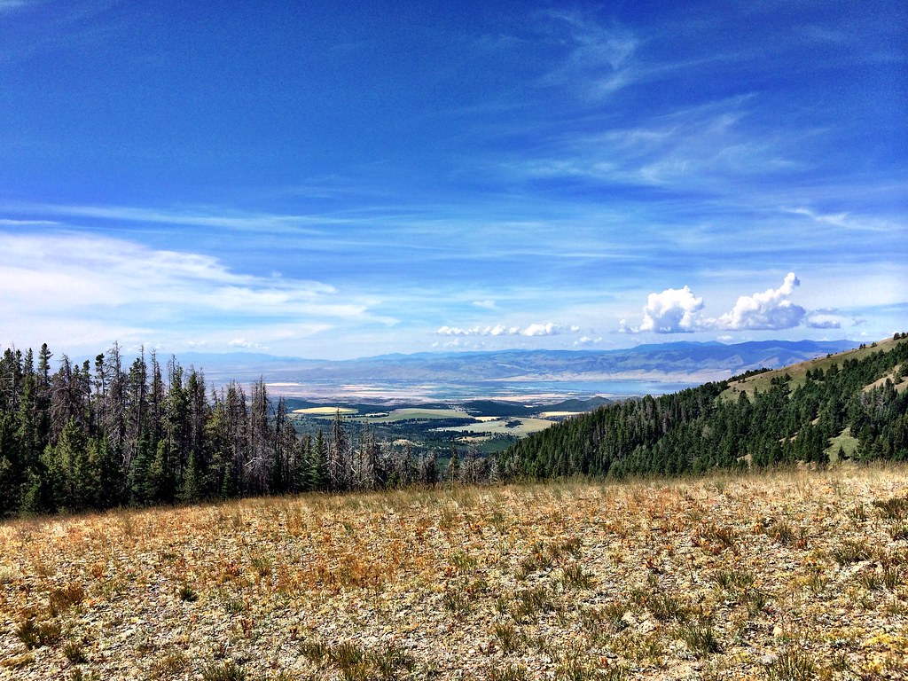 Photo: Forest Service - Northern Region, CC BY 2.0 (via Flickr)
Hidden Lake
~36 min drive
9.89-mile out-and-back trail to Hidden Lake in Montana with 1,046 ft elevation gain.
HIKE
Cayuse Spur
~8 min drive
2.08-mile out-and-back trail in Montana with 619 ft of elevation gain.
Photo: Forest Service - Northern Region, CC BY 2.0 (via Flickr)LITTLE CAMAS CREEK
~35 min drive
7.52-mile out-and-back trail in Montana with 1,913 ft elevation gain and loss.
HIKE
Cayuse
~4 min drive
Cayuse is a 6.23-mile out-and-back trail in Montana with 1,773 feet of elevation gain.
HIKE
Trail Gulch
~17 min drive
3.68-mile out-and-back trail in Montana with 470 ft elevation gain/loss.
HIKE
Hunters Gulch Connection
~2 min drive
4.92-mile out-and-back trail in Montana with 347 ft of elevation gain.
