Gipsy
 Photo: Forest Service - Northern Region, CC BY 2.0 (via Flickr)
- 12.4 mi
- round trip
- 908 ft
- climb
- 7,970 ft
- high point
- Out and back
- route
Is Gipsy open right now?
No closures listed
The Forest Service lists no closures for Helena-Lewis and Clark National Forest.
As of · Source: USFS · Helena-Lewis and Clark National Forest. Agencies don't list every closure — check before you go.
Gipsy is a hard out-and-back hike on the natural-surface trail in the Townsend Ranger District of the Helena-Lewis and Clark National Forest in Montana. The trail runs about 12.4 miles, starting and ending at the Birch Creek Trailhead, and gains about 908 feet in elevation from the low point of 6,394 feet to the high point of 7,970 feet. The Forest Service manages the surrounding land. Bikes and horses are both allowed on the trail, which makes it a practical choice for riders and pack animals as well as hikers. The trail is open year-round, so you can plan a trip for any season. The trailhead sits just a short distance from several campgrounds, including Gipsy Lake Campground about 0.2 miles away and Thompson Guard Station about 0.3 miles away. Hidden Lake lies about 2.2 miles off, and paddlers can head to Big Birch Creek, roughly 4 miles away.
Local outfitters
- MTBCity42 mi away
Not on Roamze yet. Their page has how to reach them.
Keep exploring — more trails worth the drive
Photo: Forest Service - Northern Region, CC BY 2.0 (via Flickr)Gipsy Lake Campground Loop
Next door
0.85-mile out-and-back out-and-back at Gipsy Lake Campground in Montana with 91 ft of elevation gain.
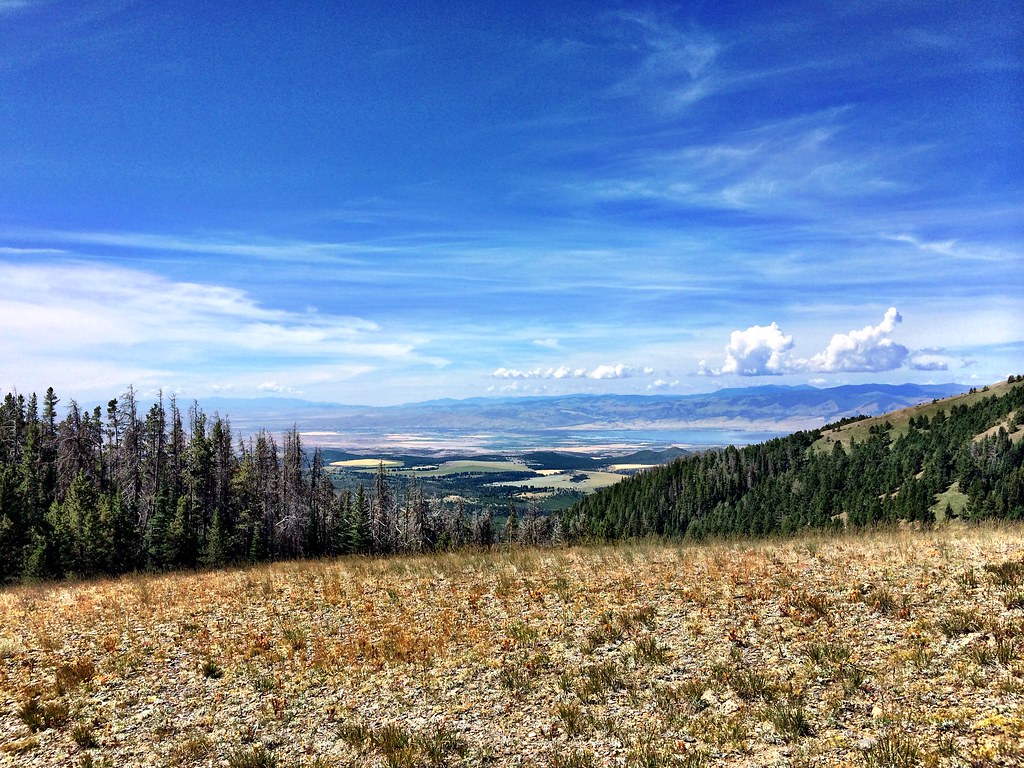 Photo: Forest Service - Northern Region, CC BY 2.0 (via Flickr)
Hidden Lake
~4 min drive
9.89-mile out-and-back trail to Hidden Lake in Montana with 1,046 ft elevation gain.
Photo: Forest Service - Northern Region, CC BY 2.0 (via Flickr)LITTLE CAMAS CREEK
~4 min drive
7.52-mile out-and-back trail in Montana with 1,913 ft elevation gain and loss.
HIKE
Grace Lake
~6 min drive
1.98-mile out-and-back trail to Grace Lake in Montana with 672 ft of elevation gain.
 Photo: Forest Service - Northern Region, CC BY 2.0 (via Flickr)
Holloway
~12 min drive
6.05-mile out-and-back trail in Montana with 2,736 ft elevation gain.
HIKE
Needles
~6 min drive
Needles is a 4.41-mile out-and-back trail in Montana with 14 feet of elevation gain.
HIKE
Camas Lake
~9 min drive
1.94-mile out-and-back trail to Camas Lake in Montana with 216 ft of elevation gain.
HIKE
Belt Mountain Divide
~6 min drive
18.70-mile out-and-back trail on Belt Mountain Divide in Montana with 1,701 ft gain.
HIKE
Camas
~9 min drive
4.76-mile out-and-back trail in Montana with 1,005 ft elevation gain.
HIKE
Cayuse Spur
~30 min drive
2.08-mile out-and-back trail in Montana with 619 ft of elevation gain.

