Camas Lake
- 1.9 mi
- round trip
- 216 ft
- climb
- 7,717 ft
- high point
- Out and back
- route
Is Camas Lake open right now?
No closures listed
The Forest Service lists no closures for Helena-Lewis and Clark National Forest.
As of · Source: USFS · Helena-Lewis and Clark National Forest. Agencies don't list every closure — check before you go.
Camas Lake is an easy hike of about 1.9 miles in the Townsend Ranger District of the Helena-Lewis and Clark National Forest in Montana, managed by the Forest Service. The trail is an out-and-back with a one-way climb of about 216 feet, from a low point of roughly 7,350 feet to a high of about 7,717 feet. The route is natural-surfaced and allows both horses and bikes, so it works for riders and pack animals as well as hikers. The Camas hike starts just 0.1 mile away, and Pickfoot is about a mile off. For an overnight stay, East Big Belts Gfa - Camas Lake Cua is about 2.3 miles away, and the Big Belt Mountains climbing area is about 2.9 miles away.
Local outfitters
- MTBCity38 mi away
Not on Roamze yet. Their page has how to reach them.
Keep exploring — more trails worth the drive
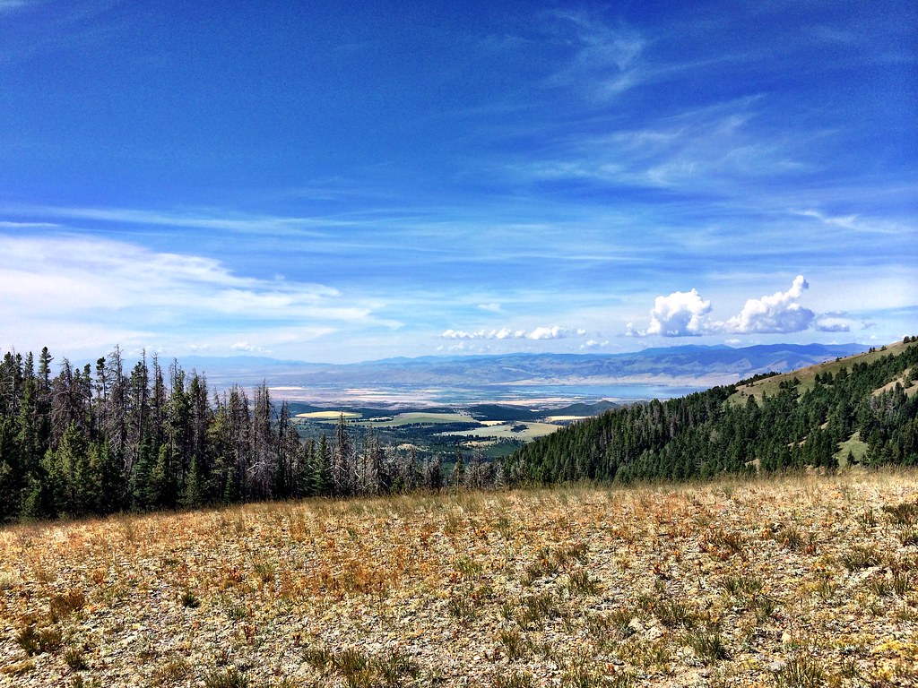 Photo: Forest Service - Northern Region, CC BY 2.0 (via Flickr)
LITTLE CAMAS CREEK
~7 min drive
7.52-mile out-and-back trail in Montana with 1,913 ft elevation gain and loss.
Photo: Forest Service - Northern Region, CC BY 2.0 (via Flickr)Hidden Lake
~8 min drive
9.89-mile out-and-back trail to Hidden Lake in Montana with 1,046 ft elevation gain.
 Photo: Forest Service - Northern Region, CC BY 2.0 (via Flickr)
Gipsy Lake Campground Loop
~8 min drive
0.85-mile out-and-back out-and-back at Gipsy Lake Campground in Montana with 91 ft of elevation gain.
HIKE
Pickfoot
~2 min drive
5.44-mile out-and-back trail in Montana with 32 ft gain and 1,528 ft loss.
Photo: Forest Service - Northern Region, CC BY 2.0 (via Flickr)Gipsy
~9 min drive
12.41-mile out-and-back trail in Montana with 908 ft elevation gain
HIKE
Grace Lake
~13 min drive
1.98-mile out-and-back trail to Grace Lake in Montana with 672 ft of elevation gain.
HIKE
Spruce Creek
~13 min drive
5.61-mile out-and-back trail in Montana with 985 ft elevation gain.
 Photo: Forest Service - Northern Region, CC BY 2.0 (via Flickr)
Holloway
~20 min drive
6.05-mile out-and-back trail in Montana with 2,736 ft elevation gain.
HIKE
Cayuse Spur
~21 min drive
2.08-mile out-and-back trail in Montana with 619 ft of elevation gain.
HIKE
Needles
~14 min drive
Needles is a 4.41-mile out-and-back trail in Montana with 14 feet of elevation gain.

