Palookaville Trail
- 8.3 mi
- distance
- 1,032 ft
- climb
- 7,122 ft
- high point
- Lollipop
- route
Is Palookaville Trail open right now?
Alert in the area
The Forest Service lists an alert for Rocky Mountain Ranger District.
Camp Creek Fire Trail Closure
Agency alert covering Rocky Mountain Ranger District · Order 01-10- · USFS · Rocky Mountain Ranger District
As of · Source: USFS · Rocky Mountain Ranger District. Agencies don't list every closure — check before you go.
Palookaville Trail is a hard, 8.3-mile loop in the Rocky Mountain Ranger District of Helena-Lewis and Clark National Forest in Montana. The route climbs from about 4,848 feet to 7,122 feet, with a total elevation gain of 1,032 feet, and it is managed by the Forest Service. The trail is a loop, so it starts and ends at the same point. The climb is spread across the full length, and the high point of 7,122 feet makes this a mountain outing rather than a lowland walk. Plan on about 3.5 hours for the trip. Several other outings sit close by. Kiyo Crag Lake is under a mile away, and Whiterock Cr is about 1.3 miles off. East Woods Creek, a mountain biking route, is about 1.8 miles away, and the South Fork Two Medicine River offers paddling about 4.4 miles from the trail.
Local outfitters
- Sunset RV Park42 mi away
- North American RV Park & Yurt Village43 mi away
Not on Roamze yet. Their page has how to reach them.
Keep exploring — more trails worth the drive
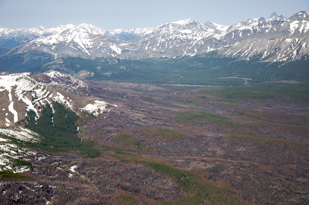 Photo: Sam Beebe, CC BY 2.0 (via Flickr)
Calf Mountain
~11 min drive
2.44-mile out-and-back trail in Montana with 495 ft gain
HIKE
Mt Pablo
~5 min drive
6.01-mile out-and-back trail in Montana with 995 ft gain.
HIKE
Slippery Hoof
~6 min drive
19.76-mile out-and-back trail in Montana with 765 ft elevation gain.
 Photo: Sam Beebe, CC BY 2.0 (via Flickr)
Lubec Buffalo
~12 min drive
1.07-mile out-and-back trail in Montana with 293 ft elevation gain.
HIKE
Mettler Coulee
~7 min drive
10.06-mile out-and-back trail in Montana with 945 ft elevation gain.
HIKE
Lower Badger
~7 min drive
Lower Badger is a 15.24-mile out-and-back trail in Montana with 646 ft of elevation gain.
Photo: Sam Beebe, CC BY 2.0 (via Flickr)Buffalo Lakes
~13 min drive
2.81-mile out-and-back trail in Montana with 338 ft elevation gain.
HIKE
Hyde Creek
~8 min drive
5.82-mile out-and-back trail in Montana with 981 ft elevation gain.
HIKE
East Woods Creek
~7 min drive
10.88-mile out-and-back trail in Montana with 1,190 ft gain.
 Photo: Loco Steve, CC BY 3.0 (via Wikimedia Commons)
Summit Trailhead Connector Trail
~15 min drive
2.66-mile out-and-back trail in Montana with 705 ft elevation gain

Map and trail data © OpenStreetMap contributors
