Mt Pablo
- 6.0 mi
- round trip
- 995 ft
- climb
- 7,312 ft
- high point
- Out and back
- route
Is Mt Pablo open right now?
Alert in the area
The Forest Service lists an alert for Rocky Mountain Ranger District.
Camp Creek Fire Trail Closure
Agency alert covering Rocky Mountain Ranger District · Order 01-10- · USFS · Rocky Mountain Ranger District
As of · Source: USFS · Rocky Mountain Ranger District. Agencies don't list every closure — check before you go.
Mt Pablo is a moderate hike in the Rocky Mountain Ranger District of the Helena-Lewis and Clark National Forest in Montana, about 5.4 miles from the town of False Summit. The trail is an out-and-back route of about 6 miles, with a one-way climb of roughly 1,000 feet from a low point of about 6,366 feet to a high of about 7,312 feet. The trail is natural-surface and allows both horses and bikes. It is not an accessible trail, according to the Forest Service's accessibility status. For more time on foot, the Dog Gun hike lies about 2.2 miles away. Mountain bikers can head to East Woods Creek, about 1.6 miles off, or Woods Creek, about 1.7 miles away. Summit Campground, about 7.3 miles from the trail, offers a place to stay.
Local outfitters
- North American RV Park & Yurt Village40 mi away
- Sunset RV Park45 mi away
Not on Roamze yet. Their page has how to reach them.
Keep exploring — more trails worth the drive
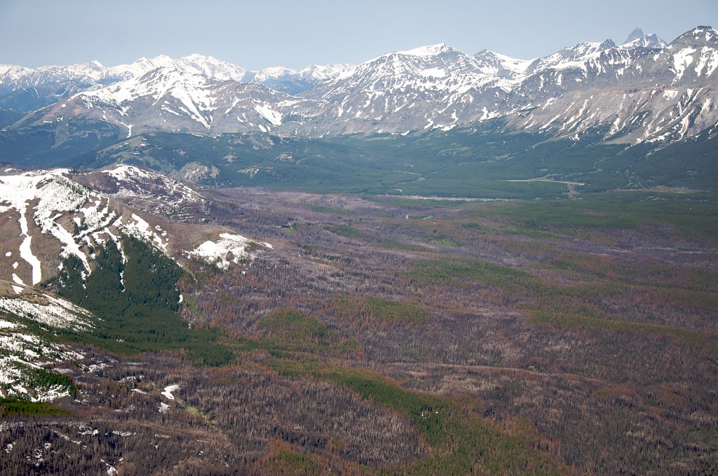 Photo: Sam Beebe, CC BY 2.0 (via Flickr)
Calf Mountain
~6 min drive
2.44-mile out-and-back trail in Montana with 495 ft gain
HIKE
East Woods Creek
~3 min drive
10.88-mile out-and-back trail in Montana with 1,190 ft gain.
HIKE
Hyde Creek
~5 min drive
5.82-mile out-and-back trail in Montana with 981 ft elevation gain.
 Photo: Sam Beebe, CC BY 2.0 (via Flickr)
Lubec Buffalo
~9 min drive
1.07-mile out-and-back trail in Montana with 293 ft elevation gain.
HIKE
Woods Creek
~3 min drive
10.70-mile out-and-back trail in Montana with 1,368 ft elevation gain.
HIKE
Mettler Coulee
~5 min drive
10.06-mile out-and-back trail in Montana with 945 ft elevation gain.
 Photo: Loco Steve, CC BY 3.0 (via Wikimedia Commons)
Summit Trailhead Connector Trail
~10 min drive
2.66-mile out-and-back trail in Montana with 705 ft elevation gain
HIKE
Palookaville Trail
~5 min drive
8.30-mile lollipop trail in Montana with 1,032 ft elevation gain.
HIKE
Puzzle Ridge
~12 min drive
9.85-mile out-and-back trail in Montana with 288 ft of elevation gain.
Photo: Sam Beebe, CC BY 2.0 (via Flickr)Buffalo Lakes
~10 min drive
2.81-mile out-and-back trail in Montana with 338 ft elevation gain.

Route details
- Distance
- 6.0 mi round trip
- Climbing
- About 995 ft
- Summit
- 7,311 ft
- Difficulty
- Moderate
- Time
- About 2.5 hours
Season
Season: Year-round.
Questions about this route
How long is the Mt Pablo on Mount Pablo?
About 6.0 mi round trip.
How much elevation gain is on the Mt Pablo?
About 995 ft of climbing round trip.
How hard is the Mt Pablo?
It is rated moderate.
How long does the Mt Pablo take?
About 2.5 hours round trip.
When is the best time for the Mt Pablo?
Year-round.
Conditions and forecast on Mount Pablo
Daily highs and lows, wind and the chance of precipitation at the summit and route start for the next 7 days, from the Open-Meteo model.
