Slippery Hoof
- 19.8 mi
- round trip
- 765 ft
- climb
- 6,972 ft
- high point
- Out and back
- route
Is Slippery Hoof open right now?
Alert in the area
The Forest Service lists an alert for Rocky Mountain Ranger District.
Camp Creek Fire Trail Closure
Agency alert covering Rocky Mountain Ranger District · Order 01-10- · USFS · Rocky Mountain Ranger District
As of · Source: USFS · Rocky Mountain Ranger District. Agencies don't list every closure — check before you go.
Slippery Hoof is a long, steep out-and-back hike in the Rocky Mountain Ranger District of Montana's Helena-Lewis and Clark National Forest. The trail starts at about 4,742 feet and climbs to 6,972 feet, with a one-way gain of 765 feet, and the round trip is about 19.8 miles. The Forest Service manages the land, and the route is rated hard. The trail is a natural-surface path open to horses and bikes. It is not an accessible trail. The trip is open year-round. The Sawmill Creek Spur lies just 0.1 mile away, and Lower Badger is about 1.1 miles off. Two Med-Heart Butte and Kiyo Crag Lake are both a little over 3 miles from the route.
Local outfitters
- Sunset RV Park40 mi away
- North American RV Park & Yurt Village46 mi away
Not on Roamze yet. Their page has how to reach them.
- SAWMILL CREEK SPURHiking0.1 mi
- Lower BadgerHiking1.1 mi
- Two Med-Heart ButteHiking3.1 mi
- Kiyo Crag LakeHiking3.3 mi
- Limestone CreekHiking3.3 mi
- Palookaville TrailHiking3.5 mi
- Lonesome CreekHiking3.7 mi
- South Fork Two Medicine RiverCanoeing7.9 mi
Source: Roamze catalog (indexable pages within 10 miles, PostGIS distance)
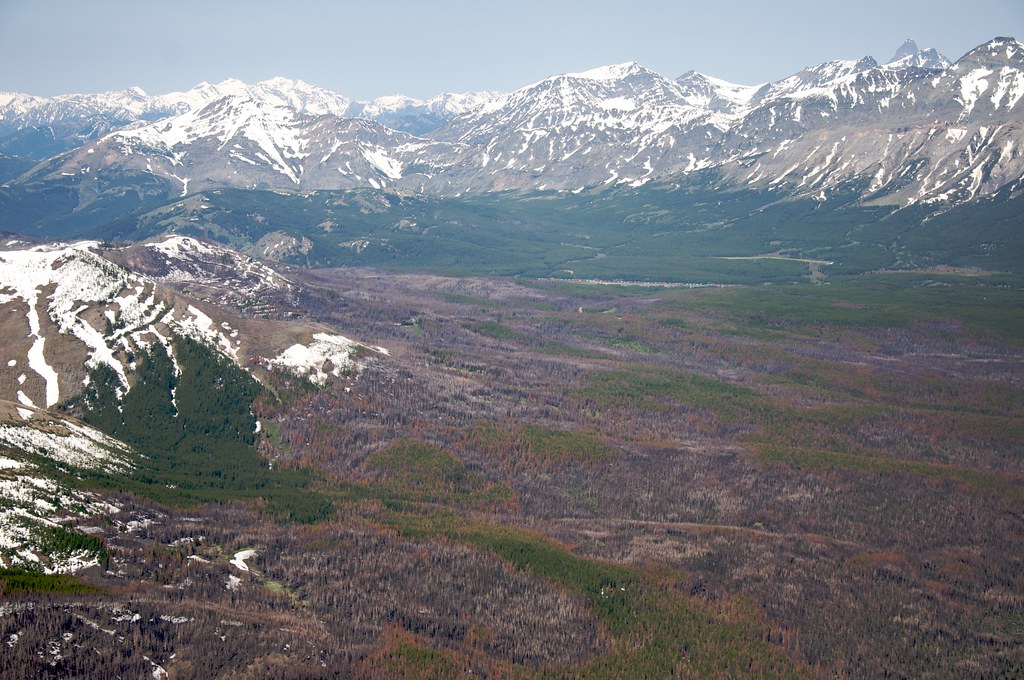 Calf MountainHiking · ~16 min drivePhoto: Sam Beebe, CC BY 2.0 (via Flickr)
- Lower BadgerHiking · ~2 min drive
- Limestone CreekHiking · ~6 min drive
 Lubec BuffaloHiking · ~18 min drivePhoto: Sam Beebe, CC BY 2.0 (via Flickr)
- Palookaville TrailHiking · ~6 min drive
- Mt PabloHiking · ~11 min drive
- SAWMILL CREEK SPURHiking · Next door
- Half Dome CragHiking · ~6 min drive
- Mettler CouleeHiking · ~13 min drive
- Kiyo Crag LakeHiking · ~6 min drive
