Lower Badger
- 15.2 mi
- round trip
- 646 ft
- climb
- 5,653 ft
- high point
- Out and back
- route
- May–Sep
- best months
Lower Badger is a 15.2-mile out-and-back hike in Montana's Bear - Marshall - Scapegoat - Swan Roadless Area, managed by the Forest Service. The trail rises from about 4,650 feet to about 5,650 feet, a climb of 646 feet one way, and is rated hard. Summer is the most comfortable time to go. Typical averages from a nearby weather station at E Glacier, which sits about 850 feet lower, show July and August highs around 74°F with lows in the mid-40s. Winter is cold, with January and February highs near 30°F. The trail is natural-surface and allows horses and bikes. It is not an accessible trail. It is open year-round. Nearby hikes include Sawmill Creek Spur, about a mile away, and Slippery Hoof, about 1.1 miles away. Two Med-Heart Butte and Kiyo Crag Lake are both about 4 miles off.
Local outfitters
- Sunset RV Park39 mi away
- North American RV Park & Yurt Village47 mi away
Not on Roamze yet. Their page has how to reach them.
Best time to go · May–Sep
Best time to visit Lower Badger
Best months: May–September. Best months have typical highs of 55–85 °F, lows of 30 °F or warmer (32 °F where the station doesn't record snow), at most one snowy day and no more than 12 wet days.
Jan
30° / 13°
Feb
30° / 13°
Mar
37° / 19°
Apr
46° / 27°
May
56° / 34°
Jun
64° / 41°
Jul
74° / 46°
Aug
74° / 44°
Sep
63° / 38°
Oct
50° / 29°
Nov
36° / 22°
Dec
29° / 15°
Typical high / low (°F) and days with rain or snow, 1991–2020. Measured at E Glacier, MT, 12.9 mi away at 4,806 ft. The station sits about 800 ft lower than this place, so expect it a little cooler here. This station doesn't record snowfall. Source: NOAA NCEI U.S. Climate Normals 1991–2020.
Keep exploring — more trails worth the drive
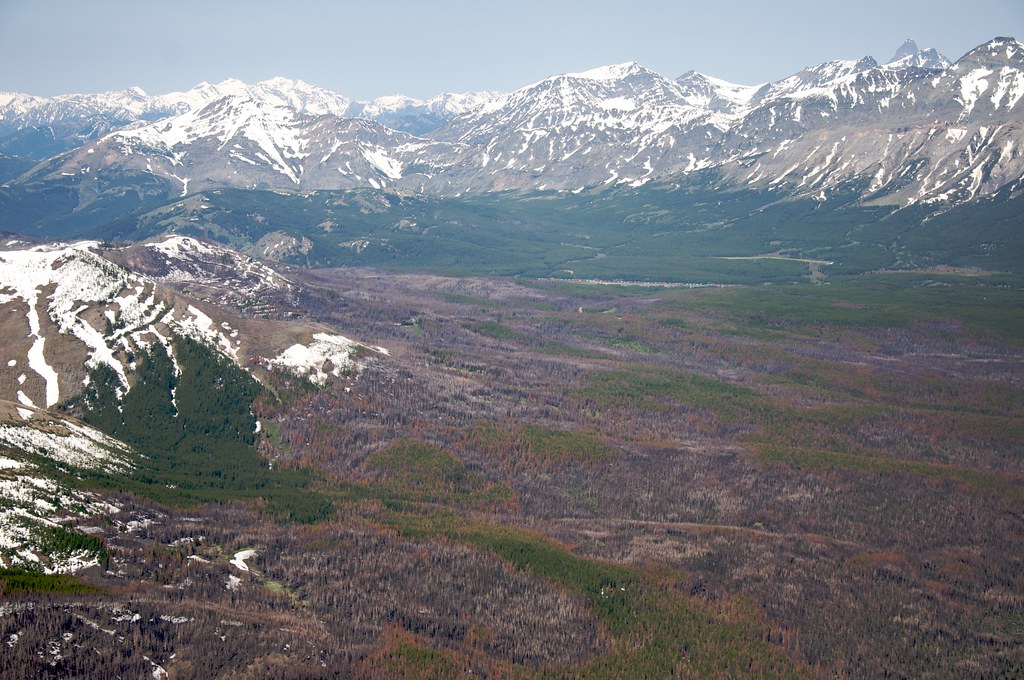 Photo: Sam Beebe, CC BY 2.0 (via Flickr)
Calf Mountain
~18 min drive
2.44-mile out-and-back trail in Montana with 495 ft gain
HIKE
Slippery Hoof
~2 min drive
19.76-mile out-and-back trail in Montana with 765 ft elevation gain.
HIKE
Limestone Creek
~7 min drive
3.27-mile out-and-back trail in Montana with 502 ft elevation gain.
 Photo: Sam Beebe, CC BY 2.0 (via Flickr)
Lubec Buffalo
~19 min drive
1.07-mile out-and-back trail in Montana with 293 ft elevation gain.
HIKE
Two Med-Heart Butte
~6 min drive
24.63-mile out-and-back trail in Montana with 2,677 ft elevation gain.
HIKE
Mt Pablo
~12 min drive
6.01-mile out-and-back trail in Montana with 995 ft gain.
Photo: Sam Beebe, CC BY 2.0 (via Flickr)Buffalo Lakes
~20 min drive
2.81-mile out-and-back trail in Montana with 338 ft elevation gain.
HIKE
Palookaville Trail
~7 min drive
8.30-mile lollipop trail in Montana with 1,032 ft elevation gain.
HIKE
Mettler Coulee
~14 min drive
10.06-mile out-and-back trail in Montana with 945 ft elevation gain.
HIKE
SAWMILL CREEK SPUR
~2 min drive
1.96-mile out-and-back trail in Montana with 777 ft elevation gain

