Mt Pablo
- 0.5 mi
- distance
- 418 ft
- climb
Caution at last check
Agency alerts are in effect for this area; weather is marginal · USFS, OpenWeather · checked 12 h ago
Is Mt Pablo open right now?
Alert in the area
The Forest Service lists an alert for Rocky Mountain Ranger District.
Camp Creek Fire Trail Closure
Agency alert covering Rocky Mountain Ranger District · Order 01-10- · USFS · Rocky Mountain Ranger District
As of · Source: USFS · Rocky Mountain Ranger District. Agencies don't list every closure — check before you go.
Mt Pablo is a mountain biking climb in the Rocky Mountain Ranger District of Helena-Lewis and Clark National Forest in Montana, about half a mile from the Forest Service land it sits on. The route rises from 6,872 feet to 7,312 feet, a total gain of 418 feet over half a mile, with the steepest stretch at about 0.3 miles in, where the grade reaches 26%. The climb is short and compact, so it works well as a quick addition to a day on the trail network around here. The Forest Service manages the land, and the route is mapped and measured, with no fees or permits to plan for. East Woods Creek lies about 1.3 miles away, and Woods Creek is about 1.9 miles off. For a change of pace, the Dog Gun hike is about 2.2 miles away, and the South Fork Two Medicine River offers paddling about 2.5 miles from the climb.
- East Woods CreekMountain biking1.3 mi
- Woods CreekMountain biking1.9 mi
- Dog GunHiking2.2 mi
- Whiterock CrHiking2.2 mi
- South Fork Two Medicine RiverCanoeing2.5 mi
- Summit CgCamping7.5 mi
- Challenge CabinCamping9 mi
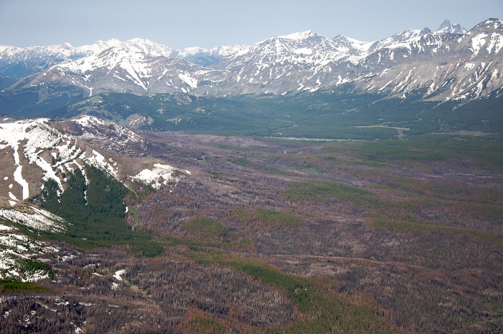
 Two Medicine RiverCanoeingPhoto: Steve Wilson, CC BY-SA 2.0 (via Wikimedia Commons)9.5 mi
Source: Roamze catalog (indexable pages within 10 miles, PostGIS distance)
- East Woods CreekMountain biking · ~2 min drive
- Woods CreekMountain biking · ~3 min drive
- East Woods ShortcutMountain biking · ~4 min drive
- Whiterock CrMountain biking · ~4 min drive
- High Water 101.1DMountain biking · ~4 min drive
- High Water 101.1EMountain biking · ~5 min drive
- Whiterock SpurMountain biking · ~5 min drive
- High Water 101.1CMountain biking · ~5 min drive
- High Water 101.1BMountain biking · ~7 min drive
- Elk Calf MtnMountain biking · ~7 min drive
Map and trail data © OpenStreetMap contributors
