East Woods Creek
- 10.9 mi
- round trip
- 1,190 ft
- climb
- 6,873 ft
- high point
- Out and back
- route
Is East Woods Creek open right now?
Alert in the area
The Forest Service lists an alert for Rocky Mountain Ranger District.
Camp Creek Fire Trail Closure
Agency alert covering Rocky Mountain Ranger District · Order 01-10- · USFS · Rocky Mountain Ranger District
As of · Source: USFS · Rocky Mountain Ranger District. Agencies don't list every closure — check before you go.
East Woods Creek is a 10.9-mile out-and-back hike in the Rocky Mountain Ranger District of Helena-Lewis and Clark National Forest in Montana. The trail rises from about 5,554 feet to about 6,873 feet, a climb of 1,190 feet, and it is rated hard. The Forest Service manages the land, and the route is natural-surfaced. The trail is open year-round and carries horses and bikes. It is not an accessible trail. Near the trailhead are several mountain biking routes, including the East Woods Shortcut at half a mile and High Water 101.1D at under a mile. Woods Creek, a hike about 1.6 miles away, and the South Fork Two Medicine River, a canoeing route about 3.9 miles away, round out the options.
Local outfitters
- North American RV Park & Yurt Village40 mi away
- Sunset RV Park46 mi away
Not on Roamze yet. Their page has how to reach them.
- East Woods ShortcutMountain biking0.5 mi
- High Water 101.1DMountain biking0.8 mi
- High Water 101.1EMountain biking1 mi
- Woods CreekHiking1.6 mi
- High Water 101.1CMountain biking1.7 mi
- South Fork Two Medicine RiverCanoeing3.9 mi
- Summit CgCamping7 mi
- Challenge CabinCamping7.4 mi
Source: Roamze catalog (indexable pages within 10 miles, PostGIS distance)
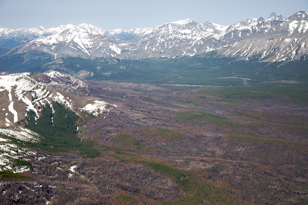 Calf MountainHiking · ~5 min drivePhoto: Sam Beebe, CC BY 2.0 (via Flickr)
- Woods CreekHiking · ~3 min drive
- Mt PabloHiking · ~3 min drive
 Summit Trailhead Connector TrailHiking · ~10 min drivePhoto: Loco Steve, CC BY 3.0 (via Wikimedia Commons)
- North Fk BadgerHiking · ~6 min drive
- Mettler CouleeHiking · ~8 min drive
- SUMMIT TH CONNECTORHiking · ~11 min drivePhoto: Loco Steve, CC BY 3.0 (via Wikimedia Commons)
- JenningsHiking · ~8 min drive
- Limestone CreekHiking · ~13 min drive
- Kraigs Trail-Pike CrHiking · ~10 min drivePhoto: Loco Steve, CC BY 3.0 (via Wikimedia Commons)

