1615 Rd Gate/Emery Cr.
Campground
Campground · 1.2 mi from the trail
 Photo: Forest Service - Northern Region, Public Domain Mark (via Flickr)
Alert in the area
The Forest Service lists 5 alerts for Flathead National Forest.
Camp Creek Fire Updated Trail Closure
Agency alert covering Flathead National Forest · Order 01-10- · USFS · Flathead National Forest
FK&L Area Closed to Public Access Starting July 22, 2026
Agency alert covering Flathead National Forest · Order 01-10- · USFS · Flathead National Forest
Trail 800 Tally-Ashely Closure
Agency alert covering Flathead National Forest · Order 01-10- · USFS · Flathead National Forest
Ryan Creek Occupancy and Use Order
Agency alert covering Flathead National Forest · Order 1-10- · USFS · Flathead National Forest
Logan Creek Hoke Creek Closure
Agency alert covering Flathead National Forest · Order 01-10- · USFS · Flathead National Forest
As of · Source: USFS · Flathead National Forest. Agencies don't list every closure — check before you go.
Ousel Peak - West is a hard hike in the Hungry Horse Ranger District of Montana's Flathead National Forest. The trail is an out-and-back that climbs from a low point of about 3,922 feet to the summit at 7,330 feet, with a total gain of 4,524 feet over a route of about 13.7 miles. The Forest Service manages the land, and the trail's natural surface allows horses. The trip works year-round, so plan for conditions that can change with the seasons. Summer and early fall bring the mildest weather, while winter brings snow. Emery Bay Campground, about 5.4 miles away, and Lost Johnny Point Campground, about 7 miles off, are the closest places to camp. For a change of pace, the P-Line Trail lies about 3.1 miles away, and the Highline Loop Sm cross-country ski route is about 1.8 miles away.
1615 Rd Gate/Emery Cr.
Campground
Southfork Saloon
Pub
North American Wildlife Museum
Museum
Places © OpenStreetMap contributors
More in WhitefishNot on Roamze yet. Their page has how to reach them.
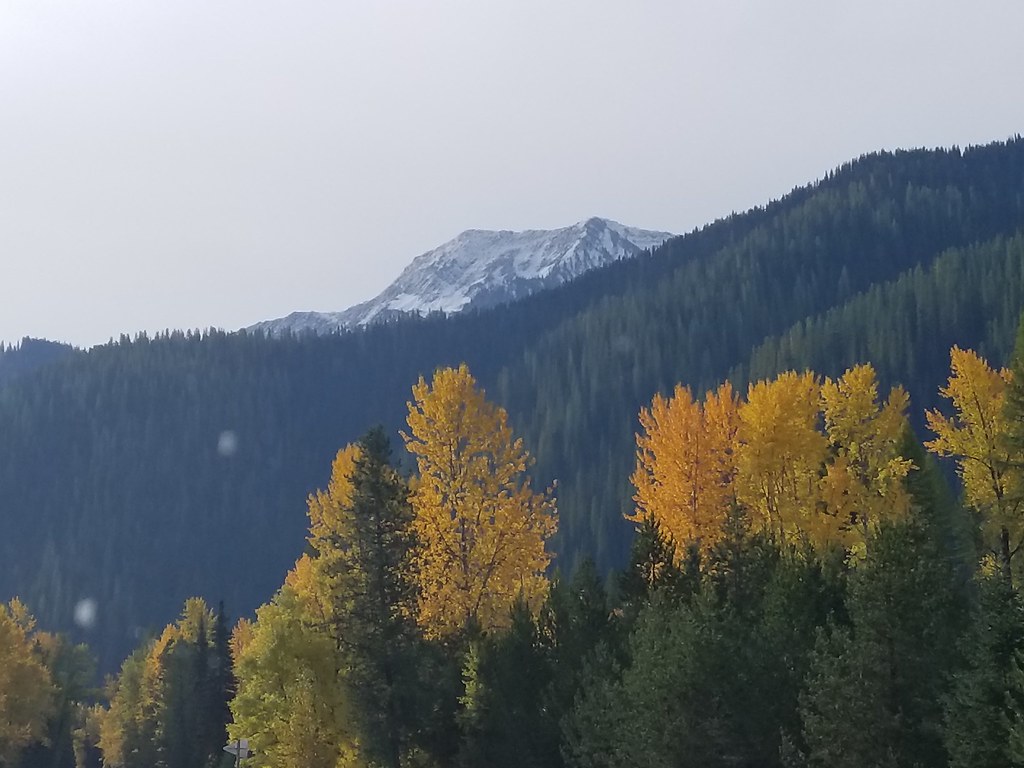 Photo: astrophotography_andy, CC BY 2.0 (via Flickr)
Great Bear Creek
~8 min drive
3.47-mile out-and-back trail in Montana with 882 ft gain.
 Photo: astrophotography_andy, CC BY 2.0 (via Flickr)
Skiumah Creek
~9 min drive
3.52-mile out-and-back trail in Montana with 1,150 ft gain.
Photo: astrophotography_andy, CC BY 2.0 (via Flickr)Rescue Creek
~9 min drive
4.20-mile out-and-back trail in Montana with 1,953 ft gain.
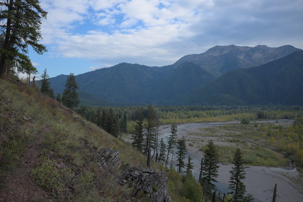 Photo: ludger.heide, CC BY-SA 2.0 (via Flickr)
Loneman Lookout
~10 min drive
10.84-mile out-and-back trail with 3,738 ft elevation gain in Montana.
 Photo: Daniel Weber, Public Domain Dedication (CC0) (via Flickr)
Rocky Point Trailhead
~18 min drive
The Rocky Point Trail follows along the western shore of Lake McDonald, within the burn scar of the Roberts Fire (2003). It offers beach access and excellent views of Lake McDonald. The trail is lollipop-shaped. Rocky Point Distance: 0.7 mile (1.1 km), loop Elevation gain: 2…
Photo: astrophotography_andy, CC BY 2.0 (via Flickr)Nyack Crossing
~9 min drive
0.8-mile out-and-back trail at Nyack Crossing in Montana.
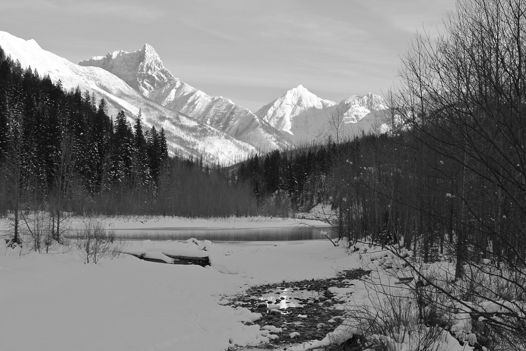 Photo: roy.luck, CC BY 2.0 (via Flickr)
Cascadilla Creek
~12 min drive
4.41-mile out-and-back trail in Montana with 875 ft of elevation gain.
 Photo: ludger.heide, CC BY-SA 2.0 (via Flickr)
Ousel Peak
~10 min drive
6.99-mile out-and-back trail to Ousel Peak in Montana with 3,129 ft elevation gain.
Photo: ludger.heide, CC BY-SA 2.0 (via Flickr)Nyack Creek
~11 min drive
36.68-mile out-and-back trail in Montana with 3,419 ft elevation gain
HIKE
Apgar Lookout Trailhead
~15 min drive
This trail leads to the Apgar Fire Lookout, offering an expansive view of Lake McDonald and the surrounding valley. This particular view is shared online via a live webcam. The webcam view is available at www.nps.gov/glac. Apgar Fire Lookout Distance: 3.6 mi (5.8 km), one wa…
