Emery Bay Campground
Campground
Campground · < 0.1 mi from the trail
Caution at last check
Agency alerts are in effect for this area; weather is marginal · USFS, OpenWeather · checked 19 h ago
Alert in the area
The Forest Service lists 6 alerts for Flathead National Forest.
Ashley Lake North Campground Closure
Agency alert covering Flathead National Forest · Order 01-10- · USFS · Flathead National Forest
Camp Creek Fire Updated Trail Closure
Agency alert covering Flathead National Forest · Order 01-10- · USFS · Flathead National Forest
FK&L Area Closed to Public Access Starting July 22, 2026
Agency alert covering Flathead National Forest · Order 01-10- · USFS · Flathead National Forest
Trail 800 Tally-Ashely Closure
Agency alert covering Flathead National Forest · Order 01-10- · USFS · Flathead National Forest
Ryan Creek Occupancy and Use Order
Agency alert covering Flathead National Forest · Order 1-10- · USFS · Flathead National Forest
As of · Source: USFS · Flathead National Forest. Agencies don't list every closure — check before you go.
Emery Bay Boating Site is a boat launch in the Hungry Horse Ranger District of Montana's Flathead National Forest, about 5.6 miles from the town of Martin City. It is a simple put-in with vault toilets as the only facility, and there is no fee to use it. Summer is the most comfortable time to visit. Typical averages from the nearby Hungry Horse Dam weather station show July highs around 82°F with lows near 53°F and only about seven wet days in the month. Winters are cold, with January highs around 31°F and lows near 20°F. Emery Bay Campground sits just 0.1 mile away, and Lost Johnny Point Campground is about 1.6 miles off. Hikers can head to Jimmie Ridge, roughly 1.8 miles away, and the Walking W trail is about 4.2 miles from the launch.
Emery Bay Campground
Campground
Glacier Fine Art
Gallery
Places © OpenStreetMap contributors, Places © Overture Maps Foundation
More in Whitefish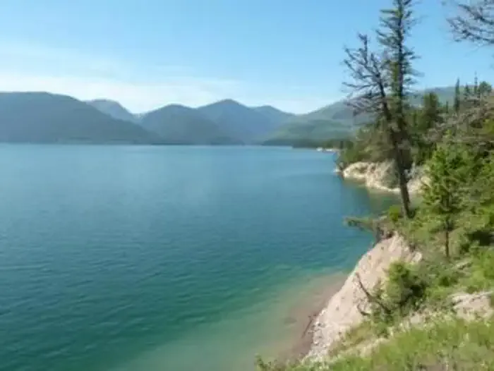 Emery Bay CampgroundCampingPhoto: Recreation.gov (RIDB) / public domain0.1 mi
Source: Roamze catalog (indexable pages within 10 miles, PostGIS distance)
 Saint Mary RiverCanoeing · ~44 min drivePhoto: Royalbroil, CC BY-SA 3.0 (via Wikimedia Commons)
Best months: May–September. Best months have typical highs of 55–85 °F, lows of 30 °F or warmer (32 °F where the station doesn't record snow), at most one snowy day and no more than 12 wet days.
Jan
31° / 20°
14 wet
Feb
34° / 20°
11 wet
Mar
43° / 25°
13 wet
Apr
52° / 32°
12 wet
May
64° / 40°
12 wet
Jun
71° / 47°
12 wet
Jul
82° / 53°
7 wet
Aug
81° / 52°
6 wet
Sep
69° / 44°
8 wet
Oct
52° / 35°
11 wet
Nov
38° / 27°
14 wet
Dec
31° / 21°
15 wet
Typical high / low (°F) and days with rain or snow, 1991–2020. Measured at Hungry Horse Dam, MT, 3.3 mi away at 3,160 ft. We don't have this place's elevation, so higher spots nearby can run cooler. This station doesn't record snowfall. Source: NOAA NCEI U.S. Climate Normals 1991–2020.

