North Fork Parmenter
- 5.3 mi
- round trip
- 2,111 ft
- climb
- 6,212 ft
- high point
- Out and back
- route
Caution today
Agency alerts are in effect for this area; weather is marginal · USFS, OpenWeather · checked 8 h ago
Is North Fork Parmenter open right now?
Closure in the area
There's a closure order in Kootenai National Forest. It doesn't name North Fork Parmenter, so check the source for the area it covers.
Kootenai Flood Event & Inaccessible Areas
Agency closure covering Kootenai National Forest · USFS · Kootenai National Forest
Updated Skillet Fire Area, Road, Trail Closure
Agency alert covering Kootenai National Forest · Order 01-10- · USFS · Kootenai National Forest
Trail Advisory-Alexander Mountain Trail near Timber Harvest Activities
Agency alert covering Libby Ranger District · USFS · Libby Ranger District
Timberlane Campground Closure
Agency alert covering Libby Ranger District · Order 01-14-05-26-03 · USFS · Libby Ranger District
As of · Source: USFS · Kootenai National Forest. Agencies don't list every closure — check before you go.
North Fork Parmenter is a hard hike in the Cabinet Mountains Wilderness, part of the Libby Ranger District of Kootenai National Forest in northwest Montana. The route is an out-and-back that climbs from about 4,060 feet to about 6,212 feet, with a total elevation gain of 2,111 feet over a distance of about 5.3 miles. The trail is on natural surface and is not open to bikes. The hike falls within designated wilderness, and the Forest Service manages the land. The open season runs from June 1 to October 30, so plan your trip for late spring through early fall. Minor Lake is about half a mile away, and Grambauer Ridge Tie is about 1.4 miles off. Farther out, Bull Lake Area offers lake fishing about 8.3 miles away, and Dorr Skeels Campground is about 9.7 miles away.
Local outfitters
- Kootenai River Campground13 mi away
- Indian Springs Montana49 mi away
Not on Roamze yet. Their page has how to reach them.
- Minor LakeHiking0.5 mi
- Cedar CreekMountain biking1.4 mi
- Cedar Creek TieMountain biking1.4 mi
 Grambauer Ridge TieHikingPhoto: Forest Service - Northern Region, Public Domain Mark (via Flickr)1.4 mi
- Lake CreekCanoeing6.8 mi
- Bull Lake AreaLake fishing8.3 mi
- #423 Grouse LakeLake fishing8.3 mi
- Dorr Skeels CampgroundCamping9.7 mi
Source: Roamze catalog (indexable pages within 10 miles, PostGIS distance)
- Grambauer Ridge TieHiking · ~2 min drivePhoto: Forest Service - Northern Region, Public Domain Mark (via Flickr)
 GrambauerHiking · ~10 min drivePhoto: Arbron, CC BY 2.0 (via Flickr)
 Sheldon Mountain Tie MHiking · ~15 min drivePhoto: Tony Webster, CC BY 2.0 (via Flickr)
- Scenery Mountain TieHiking · ~7 min drive
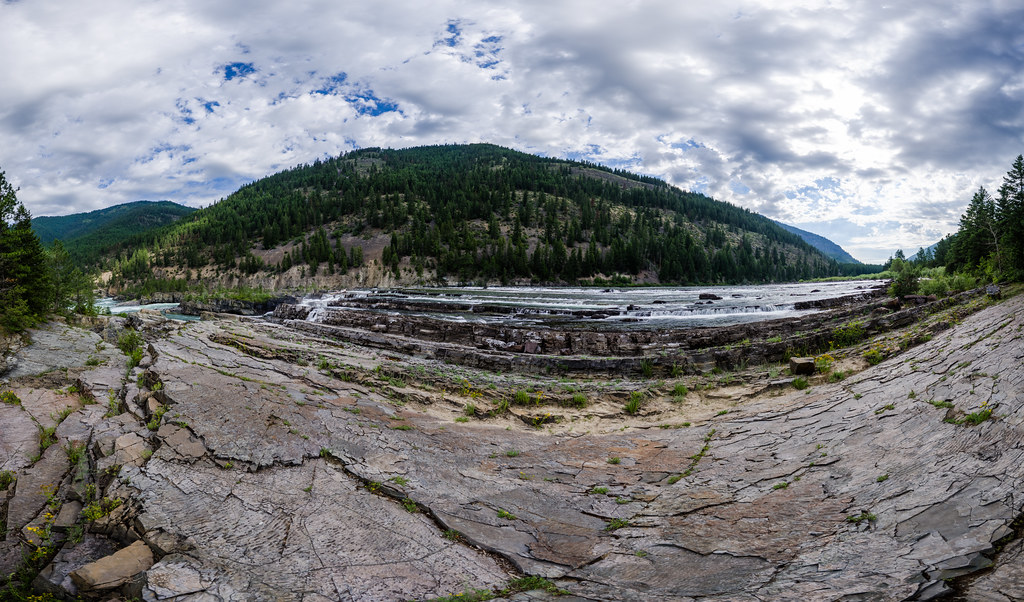 Bighorn Trail #42Hiking · ~10 min drivePhoto: Arbron, CC BY 2.0 (via Flickr)
- Cedar CreekHiking · ~3 min drive
- Flower LakeHiking · ~6 min drive
- Sheldon Mountain Tie JHiking · ~16 min drive
 Kootenai CreekHiking · ~12 min drivePhoto: waterarchives, CC BY-SA 2.0 (via Flickr)
- Cabinet Divide NorthHiking · ~4 min drive

