Grambauer Ridge Tie
 Photo: Forest Service - Northern Region, Public Domain Mark (via Flickr)
- 4.7 mi
- round trip
- 1,565 ft
- climb
- 7,061 ft
- high point
- Out and back
- route
Is Grambauer Ridge Tie open right now?
Closure in the area
There's a closure order in Kootenai National Forest. It doesn't name Grambauer Ridge Tie, so check the source for the area it covers.
Kootenai Flood Event & Inaccessible Areas
Agency closure covering Kootenai National Forest · USFS · Kootenai National Forest
Updated Skillet Fire Area, Road, Trail Closure
Agency alert covering Kootenai National Forest · Order 01-10- · USFS · Kootenai National Forest
Trail Advisory-Alexander Mountain Trail near Timber Harvest Activities
Agency alert covering Libby Ranger District · USFS · Libby Ranger District
Timberlane Campground Closure
Agency alert covering Libby Ranger District · Order 01-14-05-26-03 · USFS · Libby Ranger District
As of · Source: USFS · Kootenai National Forest. Agencies don't list every closure — check before you go.
Grambauer Ridge Tie is a 4.7-mile out-and-back hike in the Cabinet Mountains Wilderness, part of the Libby Ranger District of Kootenai National Forest in northwest Montana. The trail climbs from about 5,468 feet to a high point of 7,061 feet, with a total elevation gain of 1,565 feet. The Forest Service manages the land, and the route is natural-surfaced, with no designated bike access. The trail is open from June 1 through October 31, and the climb is moderate. The route is short enough to fit into a single day, and the wilderness setting makes it a destination for a full outing in the backcountry. Cedar Creek Tie and Cedar Creek, both mountain biking routes, sit about 0.3 miles away, and North Fork Parmenter is about 0.8 miles off. For an overnight stay, Dorr Skeels Campground is roughly 9.6 miles away.
Local outfitters
- Kootenai River Campground12 mi away
- Indian Springs Montana49 mi away
Not on Roamze yet. Their page has how to reach them.
- Cedar Creek TieMountain biking0.3 mi
- Cedar CreekMountain biking0.3 mi
- North Fork ParmenterMountain biking0.8 mi
- GrambauerMountain biking1.4 mi
- Lake CreekCanoeing5.7 mi
- Bull Lake AreaLake fishing7.4 mi
- #423 Grouse LakeLake fishing7.4 mi
- Dorr Skeels CampgroundCamping9.6 mi
Source: Roamze catalog (indexable pages within 10 miles, PostGIS distance)
 GrambauerHiking · ~7 min drivePhoto: Arbron, CC BY 2.0 (via Flickr)
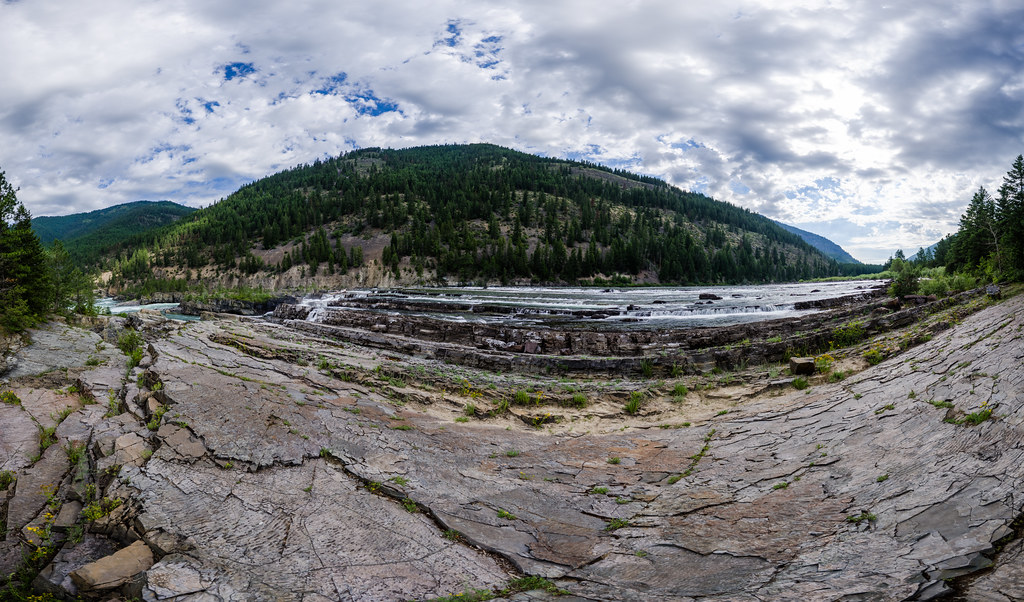 Bighorn Trail #42Hiking · ~8 min drivePhoto: Arbron, CC BY 2.0 (via Flickr)
 Sheldon Mountain Tie MHiking · ~16 min drivePhoto: Tony Webster, CC BY 2.0 (via Flickr)
- Scenery Mountain TieHiking · ~7 min drive
- Cedar CreekHiking · ~2 min drive
 Kootenai CreekHiking · ~10 min drivePhoto: waterarchives, CC BY-SA 2.0 (via Flickr)
- Bighorn Trail #42Hiking · ~8 min drive
- Cabinet Divide NorthHiking · ~4 min drive
- Whoop UpHiking · ~17 min drivePhoto: Tony Webster, CC BY 2.0 (via Flickr)
- Shannon LakeHiking · ~9 min drive


