Flower Lake
- 2.1 mi
- round trip
- 490 ft
- climb
- 4,249 ft
- high point
- Out and back
- route
- May–Sep
- best months
Is Flower Lake open right now?
Closure in the area
There's a closure order in Kootenai National Forest. It doesn't name Flower Lake, so check the source for the area it covers.
Kootenai Flood Event & Inaccessible Areas
Agency closure covering Kootenai National Forest · USFS · Kootenai National Forest
Updated Skillet Fire Area, Road, Trail Closure
Agency alert covering Kootenai National Forest · Order 01-10- · USFS · Kootenai National Forest
Trail Advisory-Alexander Mountain Trail near Timber Harvest Activities
Agency alert covering Libby Ranger District · USFS · Libby Ranger District
Timberlane Campground Closure
Agency alert covering Libby Ranger District · Order 01-14-05-26-03 · USFS · Libby Ranger District
As of · Source: USFS · Kootenai National Forest. Agencies don't list every closure — check before you go.
Flower Lake is an easy out-and-back hike in the Libby Ranger District of Montana's Kootenai National Forest, about 2 miles from the trailhead at Flower Creek TH 137. The route rises about 490 feet from a low point of 3,729 feet to a high of 4,249 feet, and the trail surface is natural, so it works well for hikers and mountain bikers alike. Summer is the most comfortable time to go. Typical averages from a nearby weather station show July and August highs around 78°F with lows near 40°F and only about six wet days a month. That station sits roughly 800 feet lower than the trail's high point, so temperatures on the summit run cooler. The trail is open from May 1 to November 30. Parmenter Tie starts just 0.1 mile away, and Indian Head and Parmenter Creek are both within about 2 miles. For time on the water, the Libby Area offers river fishing about 7.5 miles off.
Local outfitters
- Kootenai River Campground16 mi away
- Indian Springs Montana47 mi away
Not on Roamze yet. Their page has how to reach them.
- Parmenter TieHiking0.1 mi
- Indian HeadHiking1 mi
- Parmenter CreekHiking1.7 mi
- Flower Bypass AMountain biking2 mi
- Flower CreekHiking2.1 mi
- Libby AreaRiver fishing7.5 mi
- Big Cherry CreekCanoeing7.7 mi
- Libby CreekCanoeing9.6 mi
Source: Roamze catalog (indexable pages within 10 miles, PostGIS distance)
 Grambauer Ridge TieHiking · ~9 min drivePhoto: Forest Service - Northern Region, Public Domain Mark (via Flickr)
 Sheldon Mountain Tie MHiking · ~11 min drivePhoto: Tony Webster, CC BY 2.0 (via Flickr)
- Indian HeadHiking · ~2 min drive
- Scenery Mountain TieHiking · ~8 min drive
- Whoop UpHiking · ~12 min drivePhoto: Tony Webster, CC BY 2.0 (via Flickr)
- Flower Bypass AHiking · ~3 min drive
- Parmenter CreekHiking · ~3 min drive
- Sheldon Mountain Tie JHiking · ~13 min drive
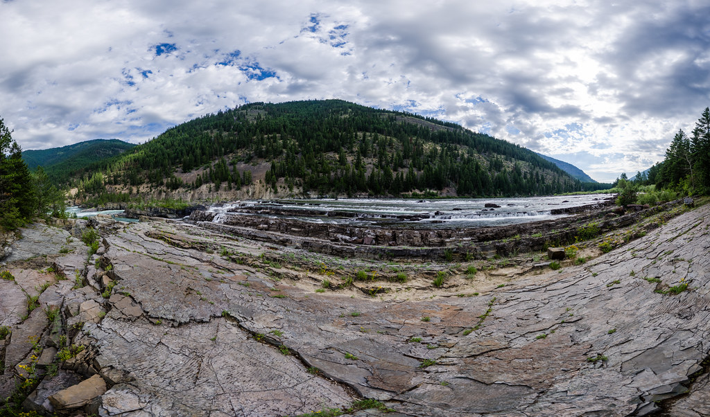 Bighorn Trail #42Hiking · ~14 min drivePhoto: Arbron, CC BY 2.0 (via Flickr)
- SkidaleHiking · ~6 min drive
Best time to visit Flower Lake
Best months: May–September. Best months have typical highs of 55–85 °F, lows of 30 °F or warmer (32 °F where the station doesn't record snow), at most one snowy day and no more than 12 wet days.
Jan
30° / 15°
14 wet · 12 snow
Feb
35° / 15°
12 wet · 10 snow
Mar
43° / 22°
13 wet · 10 snow
Apr
52° / 28°
12 wet · 5 snow
May
62° / 34°
12 wet · 1 snow
Jun
69° / 39°
10 wet
Jul
78° / 42°
6 wet
Aug
78° / 40°
6 wet
Sep
67° / 34°
7 wet
Oct
52° / 27°
11 wet · 3 snow
Nov
37° / 22°
14 wet · 9 snow
Dec
29° / 15°
15 wet · 13 snow
Typical high / low (°F) and days with rain or snow, 1991–2020. Measured at Libby 32 Sse, MT, 33.7 mi away at 3,440 ft. The station sits about 800 ft lower than this place, so expect it a little cooler here. Source: NOAA NCEI U.S. Climate Normals 1991–2020.

Route details
- Distance
- 2.1 mi round trip
- Climbing
- About 490 ft
- Starts at
- FLOWER CREEK TH 137 (about 3,729 ft)
- Summit
- 4,266 ft
- Difficulty
- Easy
- Time
- About 1 hour
Getting there
Park at FLOWER CREEK TH 137.
Questions about this route
How long is the Flower Lake on Flower Point?
About 2.1 mi round trip from FLOWER CREEK TH 137 (about 3,729 ft).
How much elevation gain is on the Flower Lake?
About 490 ft of climbing round trip.
How hard is the Flower Lake?
It is rated easy.
Where does the Flower Lake start?
FLOWER CREEK TH 137 (about 3,729 ft).
How long does the Flower Lake take?
About 1 hour round trip.
Conditions and forecast on Flower Point
Daily highs and lows, wind and the chance of precipitation at the summit and route start for the next 7 days, from the Open-Meteo model.
