Muddy Creek
- 3.1 mi
- round trip
- 1,609 ft
- climb
- 7,270 ft
- high point
- Out and back
- route
Caution at last check
Agency alerts are in effect for this area; weather is marginal · USFS, OpenWeather · checked 15 h ago
Is Muddy Creek open right now?
Alert in the area
The Forest Service lists an alert for Rocky Mountain Ranger District.
Camp Creek Fire Trail Closure
Agency alert covering Rocky Mountain Ranger District · Order 01-10- · USFS · Rocky Mountain Ranger District
As of · Source: USFS · Rocky Mountain Ranger District. Agencies don't list every closure — check before you go.
Muddy Creek is a 3.1-mile out-and-back hike in the Rocky Mountain Ranger District of Helena-Lewis and Clark National Forest in Montana. The trail climbs from about 5,800 feet to a high point of 7,270 feet, with a total gain of 1,609 feet, and it is rated hard. The Forest Service manages the land. The trail is natural-surfaced and allows horses. It is not an accessible route. The hike is open year-round, and the surrounding area has several climbing areas within about a mile and a half, including Main Wall - West End and Blow-Hard Wall. Blackleaf is another hike nearby, and paddlers can reach the North Fork Teton River about 4 miles away.
Local outfitters
- Choteau Mountain View RV Campground29 mi away
- Sunset RV Park48 mi away
Not on Roamze yet. Their page has how to reach them.
- Main Wall - West EndRock climbing1.3 mi
- Blow-Hard WallRock climbing1.3 mi
- Dentist AreaRock climbing1.3 mi
- BlackleafHiking1.7 mi
- Cow CreekHiking2.2 mi
- North Fork Teton RiverCanoeing4.2 mi
- West Fork Cabin (w of Choteau)Camping4.3 mi
- West Fork CgCamping4.4 mi
Source: Roamze catalog (indexable pages within 10 miles, PostGIS distance)
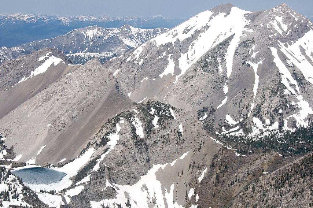 Our LakeHiking · ~18 min drivePhoto: Sam Beebe, CC BY 2.0 (via Flickr)
 Indian Head RockHiking · ~13 min drivePhoto: Sam Beebe, CC BY 2.0 (via Flickr)
- Cow CreekHiking · ~4 min drive
- Headquarters CreekHiking · ~18 min drivePhoto: Sam Beebe, CC BY 2.0 (via Flickr)
- Cow Creek SpurHiking · ~6 min drive
- Mt Wright HikerHiking · ~8 min drive
- BlackleafHiking · ~3 min drive
- South Fork DupuyerHiking · ~6 min drive
- Willis TrailHiking · ~16 min drive
- North Fork TetonHiking · ~7 min drive
