Cascadilla Flat River Access
- Jul–Sep
- best months
Cascadilla Flat River Access is a boat launch in Flathead National Forest's Hungry Horse Ranger District in northwest Montana. The nearest town is Pinnacle, about 7 miles away. It is a Forest Service recreation site with vault toilets, and there is no fee to use it. Summer is the most comfortable time to visit. Typical averages from the W Glacier weather station, about 11 miles away, show July highs near 80°F and lows around 50°F, and August has the fewest wet days of the year. Several trails start within about a mile or two, including Rescue Creek, Cascadilla Creek and the Nyack Pack Trail. Glacier National Park is about 8 miles away.
- Fee
- No fee
- Restrooms
- Yes
 Rescue CreekHikingPhoto: astrophotography_andy, CC BY 2.0 (via Flickr)1 mi
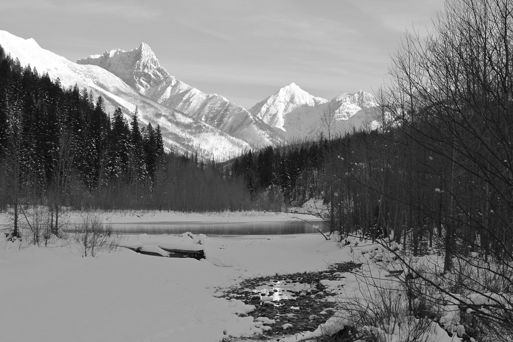 Cascadilla CreekHikingPhoto: roy.luck, CC BY 2.0 (via Flickr)1 mi
- Skiumah CreekHikingPhoto: astrophotography_andy, CC BY 2.0 (via Flickr)1.8 mi
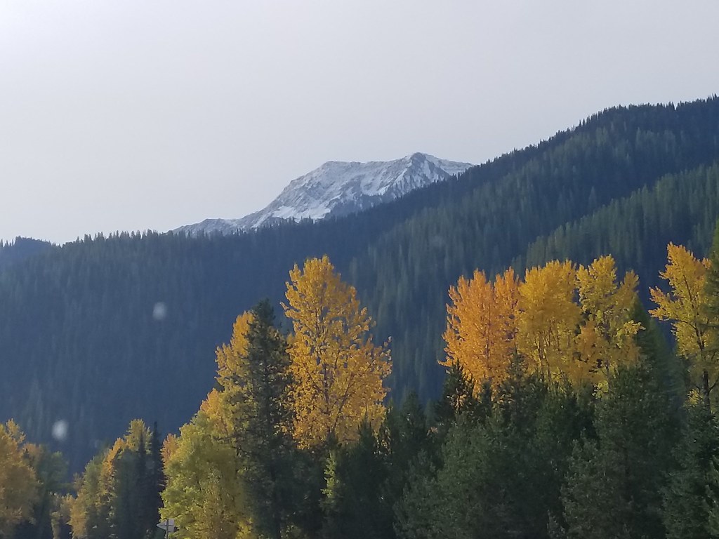 Nyack Pack TrailHikingPhoto: astrophotography_andy, CC BY 2.0 (via Flickr)1.9 mi
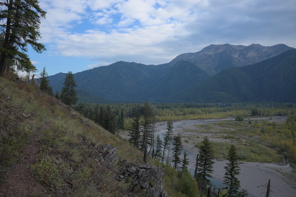 Nyack CreekHikingPhoto: ludger.heide, CC BY-SA 2.0 (via Flickr)2 mi
- Great Bear CreekHikingPhoto: astrophotography_andy, CC BY 2.0 (via Flickr)2.2 mi
- Coal CreekHikingPhoto: roy.luck, CC BY 2.0 (via Flickr)2.7 mi
- Glacier National ParkRock climbing8.3 mi
Source: Roamze catalog (indexable pages within 10 miles, PostGIS distance)
 Saint Mary RiverCanoeing · ~28 min drivePhoto: Royalbroil, CC BY-SA 3.0 (via Wikimedia Commons)
- Moccasin Creek River AccessBoat launch · ~9 min drive
- Swan Lake CampgroundStand up paddleboarding · ~58 min drive
 Two Medicine RiverCanoeing · ~46 min drivePhoto: Steve Wilson, CC BY-SA 2.0 (via Wikimedia Commons)
- Paola River AccessBoat launch · ~14 min drive
 Cut Bank CreekCanoeing · ~1h 1m drivePhoto: Royalbroil, CC BY-SA 3.0 (via Wikimedia Commons)
- Abbot Bay Boating SiteBoat launch · ~18 min drive
- Bear CreekCanoeing · ~31 min drive
- Murray Bay boat launchBoat launch · ~19 min drive
- Two Medicine CreekCanoeing · ~32 min drive
Best time to visit Cascadilla Flat River Access
Best months: July–September. Best months have typical highs of 55–85 °F, lows of 30 °F or warmer (32 °F where the station doesn't record snow), at most one snowy day and no more than 12 wet days.
Jan
30° / 19°
18 wet
Feb
34° / 19°
15 wet
Mar
42° / 25°
15 wet
Apr
53° / 31°
14 wet
May
64° / 39°
14 wet
Jun
70° / 45°
14 wet
Jul
80° / 50°
9 wet
Aug
79° / 48°
7 wet
Sep
68° / 41°
9 wet
Oct
52° / 33°
13 wet
Nov
37° / 26°
16 wet
Dec
29° / 20°
18 wet
Typical high / low (°F) and days with rain or snow, 1991–2020. Measured at W Glacier, MT, 11 mi away at 3,148 ft. We don't have this place's elevation, so higher spots nearby can run cooler. This station doesn't record snowfall. Source: NOAA NCEI U.S. Climate Normals 1991–2020.

