Laughing Water
- 11.3 mi
- round trip
- 4,000 ft
- climb
- 7,271 ft
- high point
- Out and back
- route
Is Laughing Water open right now?
Closure in the area
There's a closure order in Kootenai National Forest. It doesn't name Laughing Water, so check the source for the area it covers.
Kootenai Flood Event & Inaccessible Areas
Agency closure covering Kootenai National Forest · USFS · Kootenai National Forest
Updated Skillet Fire Area, Road, Trail Closure
Agency alert covering Kootenai National Forest · Order 01-10- · USFS · Kootenai National Forest
As of · Source: USFS · Kootenai National Forest. Agencies don't list every closure — check before you go.
Laughing Water is a hard hike in the Fortine Ranger District of Montana's Kootenai National Forest. The route is out and back, about 11.3 miles long, with a total elevation gain of 4,000 feet from a low point of 3,368 feet to a high of 7,271 feet. The trail is open year-round, and the Forest Service manages it. The trailhead is at Laughing Water TH 98 Lower. The surface is natural, and the route allows bikes and horses, so it works for riders and pack animals as well as hikers. Several other routes start close by. Martin Lake and Marston are each about 2.3 miles away, and North Fork Deep Creek is about the same distance. North Dickey Lake campground is about 3.6 miles off.
Local outfitters
- Indian Springs Montana15 mi away
- North American RV Park & Yurt Village42 mi away
Not on Roamze yet. Their page has how to reach them.
- Martin LakeHiking2.3 mi
- MarstonHiking2.3 mi
- North Fork Deep CreekHiking2.3 mi
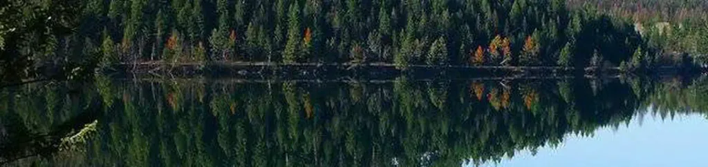 North Dickey LakeCampingPhoto: Recreation.gov (RIDB) / public domain3.6 mi
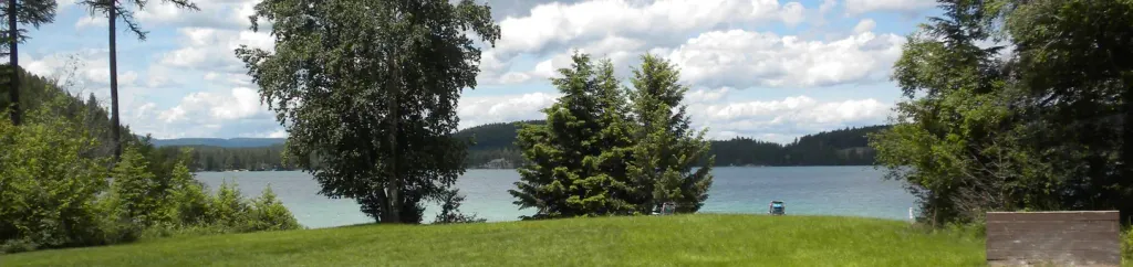 South Dickey LakeCampingPhoto: Recreation.gov (RIDB) / public domain4.3 mi
 Stillwater RiverCanoeingPhoto: Joe Mabel (on Flickr as Joe Mabel from Seattle, US), CC BY-SA 3.0 (via Wikimedia Commons)7.1 mi
- Fortine CreekCanoeing8.4 mi
- Point of RocksRock climbing9 mi
Source: Roamze catalog (indexable pages within 10 miles, PostGIS distance)
 Link LakeHiking · ~18 min drivePhoto: Forest Service Northern Region from Missoula, MT, USA, Public domain (via Wikimedia Commons)
- Nasukoin Mtn.Hiking · ~18 min drivePhoto: Forest Service Northern Region from Missoula, MT, USA, Public domain (via Wikimedia Commons)
- KrinklehornHiking · ~7 min drive
- Martin LakeHiking · ~4 min drive
- DEEP CREEK X-C SKIHiking · ~4 min drive
- Cat CreekHiking · ~12 min drive
- Hagadore LakeHiking · ~4 min drive
- WilliamsHiking · ~8 min drive
- Huntsberger LakeHiking · ~13 min drive
- Murphy LakeHiking · ~5 min drive
