North Fork Deep Creek
- 7.3 mi
- round trip
- 688 ft
- climb
- 6,526 ft
- high point
- Out and back
- route
Caution at last check
Agency alerts are in effect for this area; weather is marginal · USFS, OpenWeather · checked 16 h ago
Is North Fork Deep Creek open right now?
Closure in the area
There's a closure order in Kootenai National Forest. It doesn't name North Fork Deep Creek, so check the source for the area it covers.
Kootenai Flood Event & Inaccessible Areas
Agency closure covering Kootenai National Forest · USFS · Kootenai National Forest
Updated Skillet Fire Area, Road, Trail Closure
Agency alert covering Kootenai National Forest · Order 01-10- · USFS · Kootenai National Forest
As of · Source: USFS · Kootenai National Forest. Agencies don't list every closure — check before you go.
North Fork Deep Creek is a 7.3-mile out-and-back hike in the Fortine Ranger District of Montana's Kootenai National Forest, managed by the Forest Service. The trail rises from a low point of about 4,600 feet to a high of about 6,500 feet, with a total elevation gain of 688 feet. It is a moderate route, and the climb is spread across the full length of the trip. The trail is open from June 1 through October 31. It is a natural-surface route, and both horses and bikes are allowed. Several other hikes sit within a few miles, including Krinklehorn, Deep Creek and Laughing Water. For an overnight base, Grave Creek Campground is about 4.8 miles away.
Local outfitters
- Indian Springs Montana15 mi away
- North American RV Park & Yurt Village42 mi away
Not on Roamze yet. Their page has how to reach them.
- KrinklehornHiking1.9 mi
- Deep CreekHiking2.1 mi
- Laughing WaterHiking2.3 mi
- WilliamsHiking2.4 mi
- Grave Creek CampgroundCamping4.8 mi
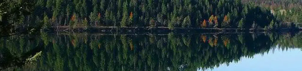 North Dickey LakeCampingPhoto: Recreation.gov (RIDB) / public domain5.9 mi
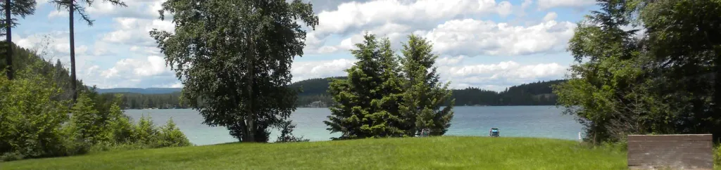 South Dickey LakeCampingPhoto: Recreation.gov (RIDB) / public domain6.4 mi
 Stillwater RiverCanoeingPhoto: Joe Mabel (on Flickr as Joe Mabel from Seattle, US), CC BY-SA 3.0 (via Wikimedia Commons)8.4 mi
Source: Roamze catalog (indexable pages within 10 miles, PostGIS distance)
 Link LakeHiking · ~16 min drivePhoto: Forest Service Northern Region from Missoula, MT, USA, Public domain (via Wikimedia Commons)
- Nasukoin Mtn.Hiking · ~16 min drivePhoto: Forest Service Northern Region from Missoula, MT, USA, Public domain (via Wikimedia Commons)
- KrinklehornHiking · ~3 min drive
- Martin LakeHiking · ~8 min drive
- WilliamsHiking · ~4 min drive
- Laughing WaterHiking · ~4 min drive
- BIRCH X-C SKI LOOP AHiking · ~8 min drive
- DEEP CREEK X-C SKIHiking · ~6 min drive
- Huntsberger LakeHiking · ~9 min drive
- Hagadore LakeHiking · ~8 min drive
