High Lakes
- 31.1 mi
- round trip
- 938 ft
- climb
- 9,202 ft
- high point
- Out and back
- route
Caution today
Agency alerts are in effect for this area; weather is marginal · USFS, OpenWeather · checked just now
Is High Lakes open right now?
Closure in the area
There's a closure order in Bozeman Ranger District. It doesn't name High Lakes, so check the source for the area it covers (17 listed).
Hyalite Canyon South Road Closure Order
Agency closure covering Bozeman Ranger District · Order 01-11-06-27-04 · USFS · Bozeman Ranger District
Sourdough/Bozeman Creek Trailhead and Trail Closure
Agency closure covering Bozeman Ranger District · Order 01-11-06-27-02 · USFS · Bozeman Ranger District
NFSR #1700 South Plateau Road Closure
Agency closure covering Custer Gallatin National Forest · USFS · Custer Gallatin National Forest
Storm Castle Creek Trail #185 Temporarily Closed Due to Storm Damage
Agency closure covering Bozeman Ranger District · Order 01-11-06-26-07 · USFS · Bozeman Ranger District
Hyalite Porcupine Buffalo Horn Summer Interim Travel Order and Map and Order # 01-11-00-26-02
Agency closure covering Custer Gallatin National Forest · Order 01-11-00-26-02 · USFS · Custer Gallatin National Forest
As of · Source: USFS · Bozeman Ranger District. Agencies don't list every closure — check before you go.
High Lakes is a 31-mile out-and-back hike in Montana's Lee Metcalf Wilderness, part of the Bozeman Ranger District of Custer Gallatin National Forest. The trail climbs from about 7,050 feet to 9,202 feet, a gain of 938 feet, and is rated hard. The Forest Service manages the land, and the route is on natural surface. Horses are allowed, but bikes are not. The trip is open year-round, and the surrounding wilderness makes it a destination for a full day or longer. Lake Solitude lies about 1.4 miles away, and Camp Creek and Spanish Lakes are each roughly 3 miles off. For an overnight base, Spanish Creek Cabin is about 6 miles from the trail.
Local outfitters
- Yellowstone Safari Company30 mi away
Not on Roamze yet. Their page has how to reach them.
- Lake SolitudeHiking1.4 mi
- Camp CreekHiking2.8 mi
- Spanish LakesHiking2.9 mi
- North Fork Spanish CreekHiking3.4 mi
- Placer CreekHiking3.7 mi
- Beehive PeakRock climbing4.3 mi
- Beehive BasinRock climbing4.9 mi
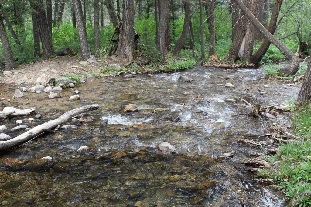 Spanish Creek CabinCampingPhoto: Recreation.gov (RIDB) / public domain6.1 mi
Source: Roamze catalog (indexable pages within 10 miles, PostGIS distance)
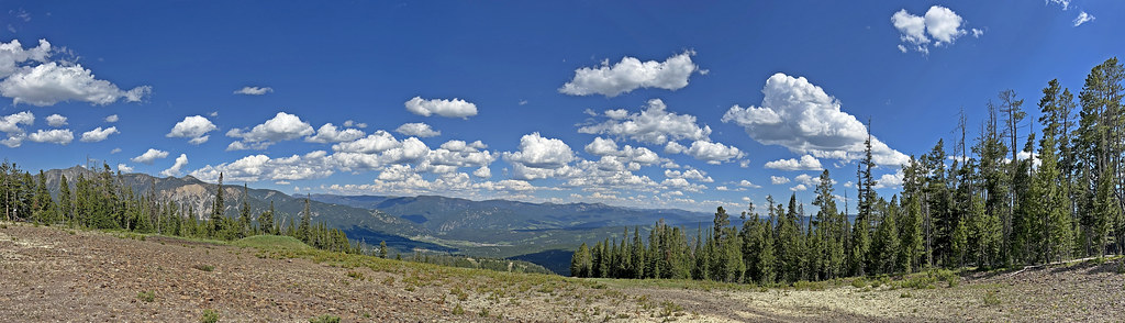 CoolridgeHiking · ~16 min drivePhoto: Monica's Dad, CC BY 2.0 (via Flickr)
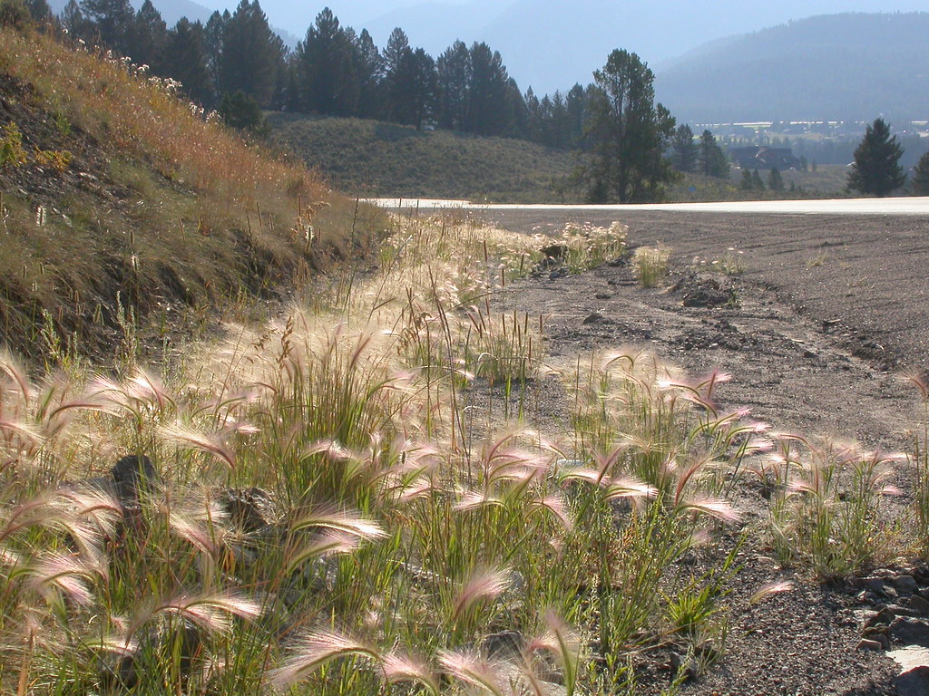 Powder Crest TrailHiking · ~18 min drivePhoto: Matt Lavin, CC BY-SA 2.0 (via Flickr)
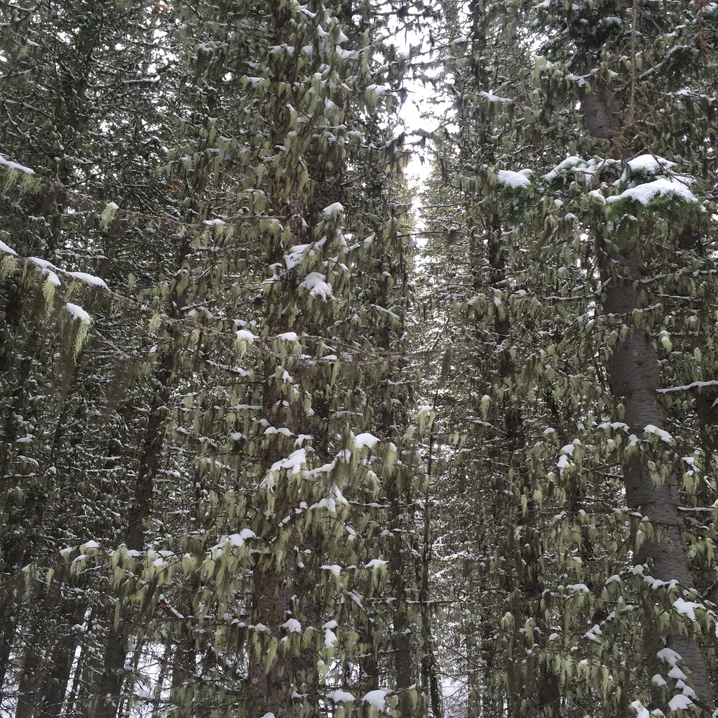 Lodge LoopHiking · ~12 min drivePhoto: schvin, CC BY 2.0 (via Flickr)
- JACK CREEKHiking · ~8 min drive
 Indian RidgeHiking · ~19 min drivePhoto: Forest Service - Northern Region, Public Domain Mark (via Flickr)
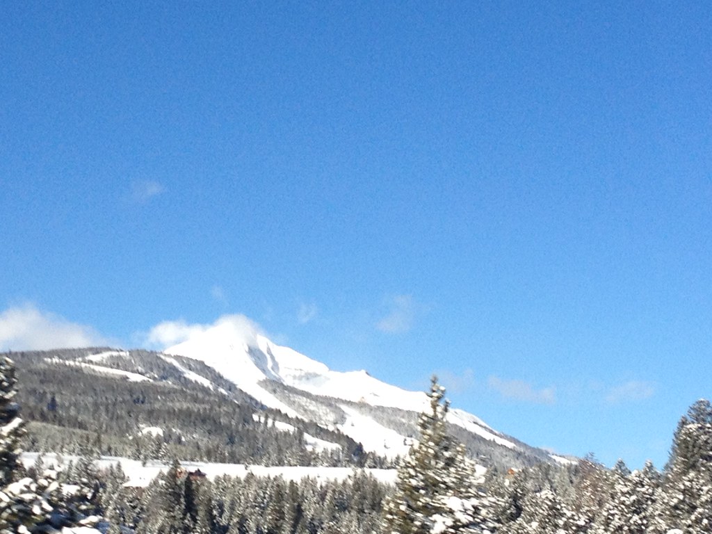 Mountain to MeadowHiking · ~18 min drivePhoto: senatortester, Public Domain Mark (via Flickr)
- Sweden CreekHiking · ~8 min drive
- JOURDAIN RIDGEHiking · ~10 min drive
- Mountain to MeadowHiking · ~16 min drivePhoto: Monica's Dad, CC BY 2.0 (via Flickr)
 Elkhorn LoopHiking · ~13 min drivePhoto: schvin, CC BY 2.0 (via Flickr)

