Jourdain Ridge
- 10.6 mi
- round trip
- 6,920 ft
- climb
- 9,763 ft
- high point
- Out and back
- route
Jourdain Ridge is a long, steep out-and-back hike in Montana, about 4 miles from the town of Watkins. The route starts at 6,132 feet and climbs to a high point of 9,763 feet, with a total elevation gain of 6,920 feet over the course of the round trip. The climb is front-loaded, and the steepest stretch comes at about 6 miles in, where the grade reaches 31 percent. The hike is rated expert, and the round trip takes about 10.5 hours. The route is roughly 21 miles long, and the climb is as much about the effort as the destination. Several other outings sit within a few miles. Jourdaine Creek and Mill Creek are both hikes, and the Ennis Lake Circumnavigation offers paddling. For fishing, Kobayashi Beach is about 5.5 miles away.
Local outfitters
- Yellowstone Safari Company34 mi away
Not on Roamze yet. Their page has how to reach them.
- Jourdaine CreekHiking3.1 mi
- MILL CREEKHiking3.7 mi
- TRAIL CREEKHiking4.3 mi
- Ennis Lake CircumnavigationCanoeing5.2 mi
- Kobayashi BeachLake fishing5.5 mi
- Clute's LandingLake fishing6.3 mi
- Madison River AreaRock climbing9.2 mi
- Beehive PeakRock climbing9.3 mi
Source: Roamze catalog (indexable pages within 10 miles, PostGIS distance)
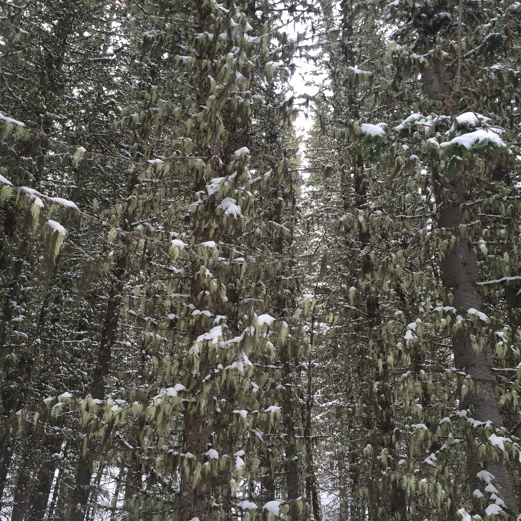 Lodge LoopHiking · ~18 min drivePhoto: schvin, CC BY 2.0 (via Flickr)
 Elkhorn LoopHiking · ~18 min drivePhoto: schvin, CC BY 2.0 (via Flickr)
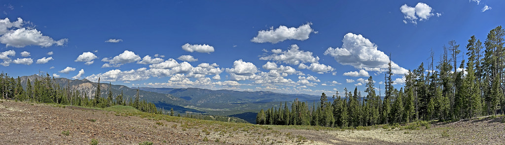 CoolridgeHiking · ~22 min drivePhoto: Monica's Dad, CC BY 2.0 (via Flickr)
- HAMMOND CREEKHiking · ~8 min drive
- Carpenter CreekHiking · ~8 min drive
- TRAIL CREEKHiking · ~7 min drive
- Mountain to MeadowHiking · ~22 min drivePhoto: Monica's Dad, CC BY 2.0 (via Flickr)
- JACK CREEKHiking · ~8 min drive
- Red KnobHiking · ~8 min drive
- Madison River TrailHiking · ~13 min drive

