Jack Creek
- 8.5 mi
- round trip
- 3,918 ft
- climb
- 8,783 ft
- high point
- Out and back
- route
Is JACK CREEK open right now?
Closure in the area
There's a closure order in Beaverhead-Deerlodge National Forest. It doesn't name JACK CREEK, so check the source for the area it covers (2 listed).
Annual Food Storage Order
Agency closure covering Beaverhead-Deerlodge National Forest · Order 02-00-22-02 · USFS · Beaverhead-Deerlodge National Forest
Pallet Prohibition Order Butte Ranger District
Agency closure covering Beaverhead-Deerlodge National Forest · Order 01020425-01 · USFS · Beaverhead-Deerlodge National Forest
Lost Creek Area - Road Closure
Agency alert covering Beaverhead-Deerlodge National Forest · USFS · Beaverhead-Deerlodge National Forest
Montana BDR Alternative Route
Agency alert covering Beaverhead-Deerlodge National Forest · USFS · Beaverhead-Deerlodge National Forest
Lost Creek Area - Road Closure
Agency alert covering Beaverhead-Deerlodge National Forest · Order 01020826-02 · USFS · Beaverhead-Deerlodge National Forest
As of · Source: USFS · Beaverhead-Deerlodge National Forest. Agencies don't list every closure — check before you go.
Jack Creek is an expert-rated hike in the Madison Ranger District of Montana's Beaverhead-Deerlodge National Forest. The route runs about 8.5 miles one way as an out-and-back, so a full trip covers roughly 17 miles. Starting near 5,940 feet, the trail climbs to a high point of about 8,780 feet, gaining roughly 3,380 feet one way and about 3,900 feet over the round trip. The profile is rolling rather than one steady ascent, with dips along the way that drop as low as about 5,910 feet. The hardest pitch comes around mile 5, where the grade reaches about 28 percent. Combined with the length, that makes this a long, demanding day, and the descent on the way back gives up all of that elevation again. Hammond Creek starts just 0.1 mile away, and Mill Creek is about a mile off. The separate Jack Creek Trail lies roughly 2 miles away. For paddling, the Ennis Lake Circumnavigation is about 9.5 miles from here.
Local outfitters
- Yellowstone Safari Company34 mi away
Not on Roamze yet. Their page has how to reach them.
- HAMMOND CREEKHiking0.1 mi
- MILL CREEKHiking1 mi
- Jack Creek TrailHiking2.1 mi
- Beehive PeakRock climbing6.1 mi
- Beehive BasinRock climbing6.5 mi
- Ennis Lake CircumnavigationCanoeing9.5 mi
- O'Dell CreekCanoeing9.7 mi
- Bear CreekCanoeing9.8 mi
Source: Roamze catalog (indexable pages within 10 miles, PostGIS distance)
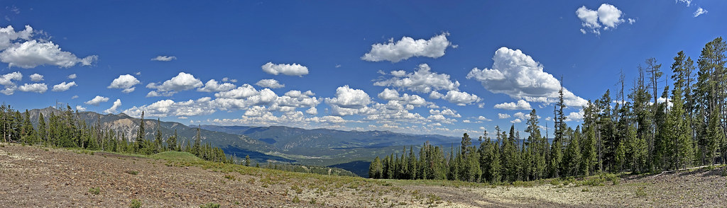 CoolridgeHiking · ~14 min drivePhoto: Monica's Dad, CC BY 2.0 (via Flickr)
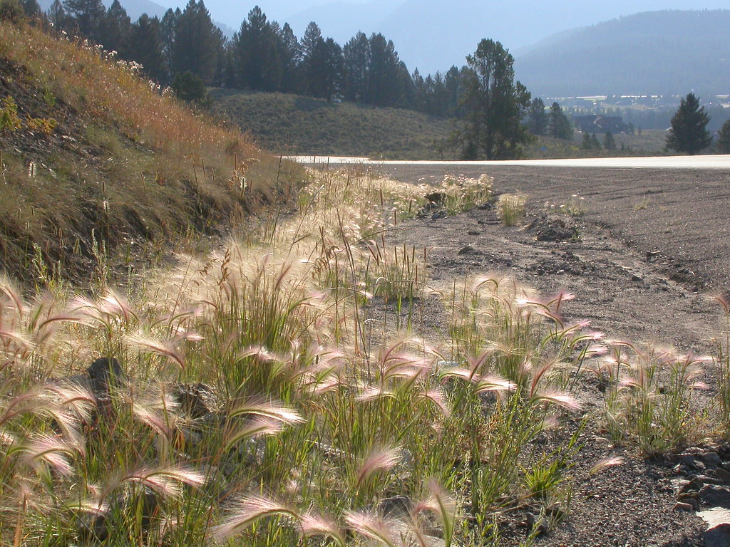 Powder Crest TrailHiking · ~17 min drivePhoto: Matt Lavin, CC BY-SA 2.0 (via Flickr)
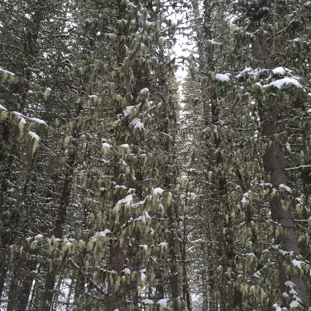 Lodge LoopHiking · ~10 min drivePhoto: schvin, CC BY 2.0 (via Flickr)
- HAMMOND CREEKHiking · Next door
- Mountain to MeadowHiking · ~15 min drivePhoto: Monica's Dad, CC BY 2.0 (via Flickr)
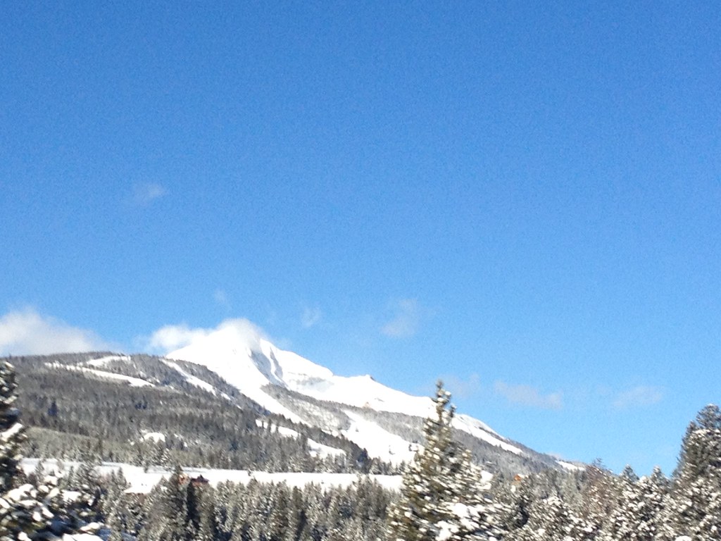 Mountain to MeadowHiking · ~18 min drivePhoto: senatortester, Public Domain Mark (via Flickr)
- Jourdaine CreekHiking · ~11 min drive
- JOURDAIN RIDGEHiking · ~8 min drive
- Jack Creek TrailHiking · ~4 min drive
 Elkhorn LoopHiking · ~11 min drivePhoto: schvin, CC BY 2.0 (via Flickr)
Also worth it near here
 Fan MountainSummit · ~6 min drivePhoto: Mike Cline, CC BY-SA 4.0 (via Wikimedia Commons)
 Big Sky ResortDownhill skiing · ~12 min drivePhoto: Jim from Lexington, KY, USA, CC BY-SA 2.0 (via Wikimedia Commons)
- Cedar FallsWaterfall · ~13 min drive
- Chilled LakesLake fishing · ~13 min drive
- North Fork TieMountain biking · ~14 min drive
