Lodge Loop
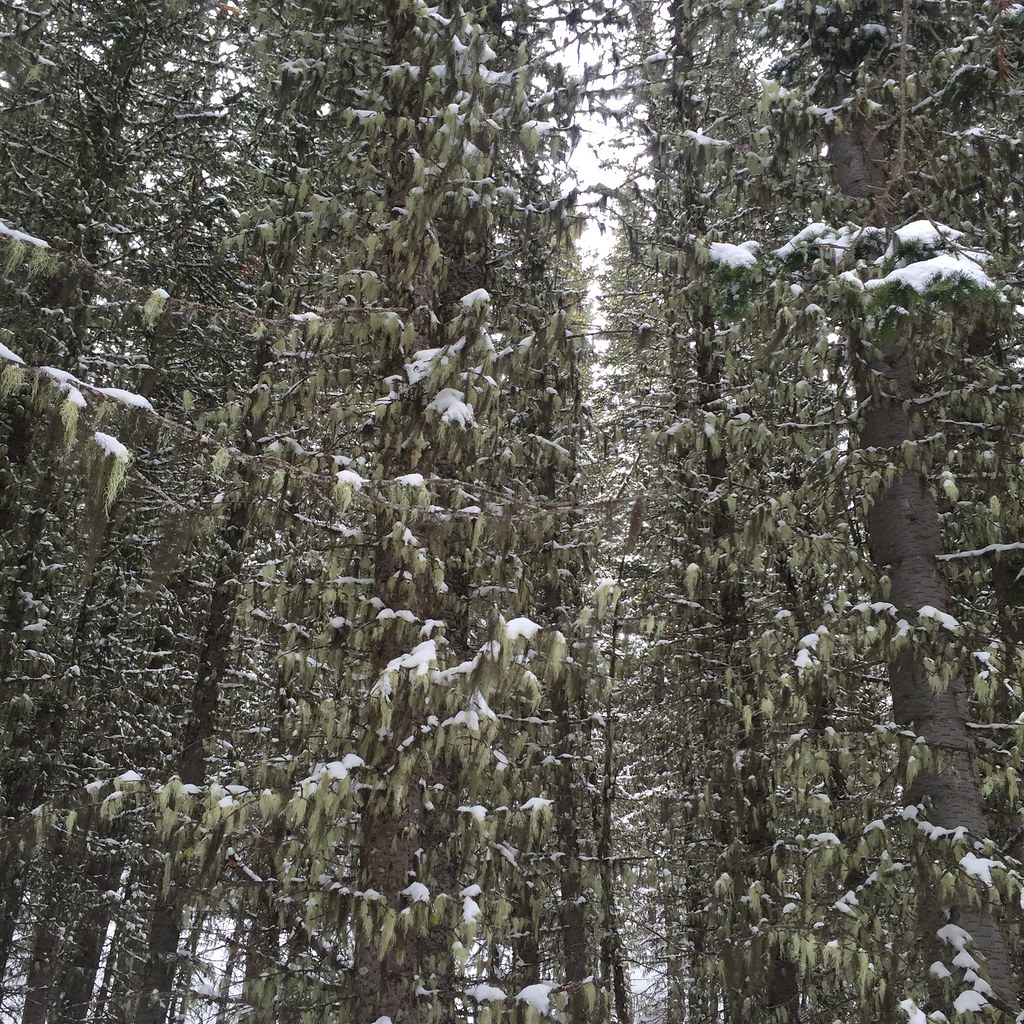 Photo: schvin, CC BY 2.0 (via Flickr)
- 2.0 mi
- round trip
- 893 ft
- climb
- 8,085 ft
- high point
- Out and back
- route
- Jul–Sep
- best months
Caution at last check
Agency alerts are in effect for this area; weather is marginal · USFS, OpenWeather · checked 13 h ago
Is Lodge Loop open right now?
Closure in the area
There's a closure order in Beaverhead-Deerlodge National Forest. It doesn't name Lodge Loop, so check the source for the area it covers (2 listed).
Annual Food Storage Order
Agency closure covering Beaverhead-Deerlodge National Forest · Order 02-00-22-02 · USFS · Beaverhead-Deerlodge National Forest
Pallet Prohibition Order Butte Ranger District
Agency closure covering Beaverhead-Deerlodge National Forest · Order 01020425-01 · USFS · Beaverhead-Deerlodge National Forest
Lost Creek Area - Road Closure
Agency alert covering Beaverhead-Deerlodge National Forest · USFS · Beaverhead-Deerlodge National Forest
Montana BDR Alternative Route
Agency alert covering Beaverhead-Deerlodge National Forest · USFS · Beaverhead-Deerlodge National Forest
Lost Creek Area - Road Closure
Agency alert covering Beaverhead-Deerlodge National Forest · Order 01020826-02 · USFS · Beaverhead-Deerlodge National Forest
As of · Source: USFS · Beaverhead-Deerlodge National Forest. Agencies don't list every closure — check before you go.
Lodge Loop is a short, easy out-and-back hike in Montana's Beaverhead-Deerlodge National Forest, within the Madison Ranger District. The trail is about 2 miles long, with a total climb of nearly 900 feet and a high point of 8,085 feet. The route is rolling, and the steepest stretch comes at about 0.8 miles, where the grade reaches 13 percent. The trail starts near 8,073 feet and ends at the same elevation, so the climb is matched by a descent on the way back. Summer is the most comfortable time to go. Typical averages from a nearby weather station at Big Sky run to highs around 78°F in July, while temperatures at the trail's higher elevations run cooler. Winter is cold, with January highs near 30°F and lows around 9°F. The trip takes about 1.5 hours. Elkhorn Loop lies just 0.3 miles away, and Beehive Basin is about 1.6 miles off. Farther afield are Coolridge at 2.4 miles and the West Fork Gallatin River, a paddling destination about 7 miles away.
Local outfitters
- Yellowstone Safari Company33 mi away
Not on Roamze yet. Their page has how to reach them.
 Elkhorn LoopHikingPhoto: schvin, CC BY 2.0 (via Flickr)0.3 mi
- Beehive BasinHiking1.6 mi
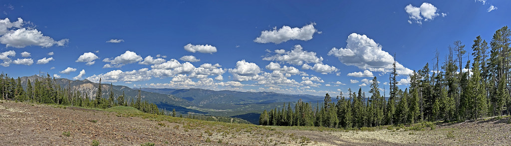 CoolridgeHikingPhoto: Monica's Dad, CC BY 2.0 (via Flickr)2.4 mi
- Mountain to MeadowHikingPhoto: Monica's Dad, CC BY 2.0 (via Flickr)2.6 mi
- Bear BasinHiking3.1 mi
- Beehive PeakRock climbing3.9 mi
- West Fork Gallatin RiverCanoeing7.1 mi
- Yellow Mule CabinCamping7.9 mi
Source: Roamze catalog (indexable pages within 10 miles, PostGIS distance)
- CoolridgeHiking · ~4 min drivePhoto: Monica's Dad, CC BY 2.0 (via Flickr)
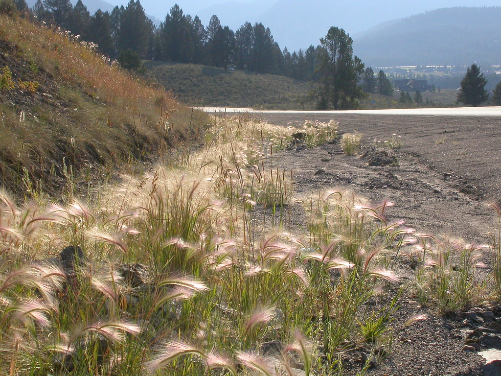 Powder Crest TrailHiking · ~7 min drivePhoto: Matt Lavin, CC BY-SA 2.0 (via Flickr)
 Ranch LoopHiking · ~10 min drivePhoto: Matt Lavin, CC BY-SA 2.0 (via Flickr)
- JACK CREEKHiking · ~10 min drive
- Mountain to MeadowHiking · ~5 min drivePhoto: Monica's Dad, CC BY 2.0 (via Flickr)
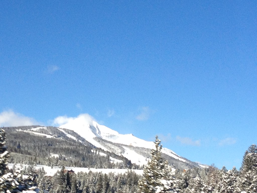 Mountain to MeadowHiking · ~8 min drivePhoto: senatortester, Public Domain Mark (via Flickr)
- Crail Ranch TrailHiking · ~11 min drivePhoto: Matt Lavin, CC BY-SA 2.0 (via Flickr)
- North Fork HellroaringHiking · ~16 min drive
- Beehive BasinHiking · ~3 min drive
- Elkhorn LoopHiking · Next doorPhoto: schvin, CC BY 2.0 (via Flickr)
Also worth it near here
Best time to visit Lodge Loop
Best months: July–September. Best months have typical highs of 55–85 °F, lows of 30 °F or warmer (32 °F where the station doesn't record snow), at most one snowy day and no more than 12 wet days.
Jan
30° / 9°
13 wet
Feb
34° / 9°
11 wet
Mar
42° / 17°
12 wet
Apr
48° / 23°
11 wet
May
58° / 30°
14 wet
Jun
67° / 36°
14 wet
Jul
78° / 41°
11 wet
Aug
77° / 39°
11 wet
Sep
68° / 33°
10 wet
Oct
53° / 25°
10 wet
Nov
37° / 16°
11 wet
Dec
27° / 9°
14 wet
Typical high / low (°F) and days with rain or snow, 1991–2020. Measured at Big Sky 2wnw, MT, 5.1 mi away at 6,590 ft. The station sits about 1,500 ft lower than this place, so expect it a little cooler here. This station doesn't record snowfall. Source: NOAA NCEI U.S. Climate Normals 1991–2020.


Map and trail data © OpenStreetMap contributors
