Feeder Mountain
- 6.7 mi
- round trip
- 881 ft
- climb
- 5,746 ft
- high point
- Out and back
- route
Is Feeder Mountain open right now?
Closure in the area
There's a closure order in Three Rivers Ranger District. It doesn't name Feeder Mountain, so check the source for the area it covers (2 listed).
Ross Creek Cedars Road Closure & Storm Damage Update
Agency closure covering Three Rivers Ranger District · Order 01-14-04-26-08 · USFS · Three Rivers Ranger District
Kootenai Flood Event & Inaccessible Areas
Agency closure covering Kootenai National Forest · USFS · Kootenai National Forest
Updated Skillet Fire Area, Road, Trail Closure
Agency alert covering Kootenai National Forest · Order 01-10- · USFS · Kootenai National Forest
Spar Lake Road #384 Road Closed to Motorized Vehicles
Agency alert covering Three Rivers Ranger District · Order 01-14-04-26-04 · USFS · Three Rivers Ranger District
As of · Source: USFS · Three Rivers Ranger District. Agencies don't list every closure — check before you go.
Feeder Mountain is a hard hike in the Three Rivers Ranger District of Montana's Kootenai National Forest, about 6.7 miles long with an elevation gain of 881 feet. The trail runs out and back from a trailhead called Feeder Mountain TH 520, which sits at about 4,409 feet, and climbs to a high point of 5,746 feet. The route is a natural-surface trail, and it is not accessible. Bikes are allowed. The trail is open from about May 1 through November 30, and the Forest Service manages the land. Kilbrennan Lake Campground lies about 2.7 miles away, and Feeder Creek is about 2.2 miles off. Kedzie Creek and Wee Lake are both within about 3 miles.
Local outfitters
- Kootenai River Campground7 mi away
- Indian Springs Montana43 mi away
Not on Roamze yet. Their page has how to reach them.
 Feeder CreekHikingPhoto: Forest Service - Northern Region, Public Domain Mark (via Flickr)2.2 mi
- Kilbrennan Lake CampgroundCamping2.7 mi
- Kedzie CreekHiking3 mi
- Wee LakeHiking3.1 mi
- ProspectHiking3.1 mi
- Yaak Mtn. Lookout RentalCamping4.3 mi
- Yaak Falls CampgroundCamping5 mi
- Yaak RiverCamping6.5 mi
Source: Roamze catalog (indexable pages within 10 miles, PostGIS distance)
- Feeder CreekHiking · ~4 min drivePhoto: Forest Service - Northern Region, Public Domain Mark (via Flickr)
 Tepee MountainHiking · ~11 min drivePhoto: Tony Webster, CC BY-SA 2.0 (via Flickr)
- Wee LakeHiking · ~5 min drive
- Pulpit Mountain SpurHiking · ~7 min drive
- Independence CreekHiking · ~15 min drive
 Kootenai CreekHiking · ~15 min drivePhoto: waterarchives, CC BY-SA 2.0 (via Flickr)
 GrambauerHiking · ~17 min drivePhoto: Arbron, CC BY 2.0 (via Flickr)
- Alvord LakeHiking · ~10 min drive
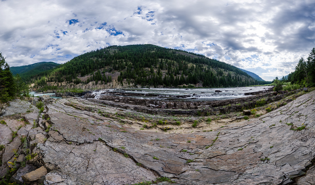 Bighorn Trail #42Hiking · ~17 min drivePhoto: Arbron, CC BY 2.0 (via Flickr)
- Arbo CreekHiking · ~7 min drive
