Tyler Swamp Loop
- 2.2 mi
- loop
- 140 ft
- climb
- 2,030 ft
- high point
- Loop
- route
- May–Oct
- best months
Caution today
Weather is marginal · OpenWeather · checked 6 h ago
Tyler Swamp Loop is a 2.15-mile loop hike in western Massachusetts, about 2.4 miles from the town of East Renfrew. The route is rated easy, with a total elevation gain of 140 feet, and it starts and ends at roughly 2,020 feet, with a high point of about 2,030 feet and a low of about 1,910 feet. The climb is gentle, with the steepest stretch at about 1.5 miles in, where the grade reaches 7 percent. Summer is the most comfortable time to go. Typical averages from a nearby weather station show July and August highs around 75°F with lows in the mid-50s, while winter highs stay in the 20s and 30s. The loop is a short outing that pairs easily with other trails in the area. North Pond Loop is just 0.4 miles away, and Haskins Trail, a mountain biking route, is 0.7 miles off. Busby Trail lies about 1.8 miles away, and Monroe State Forest, a climbing area, is about 6 miles out.
- North Pond LoopHiking0.4 mi
- Haskins TrailMountain biking0.7 mi
- Busby TrailHiking1.8 mi
- Monroe State ForestRock climbing6.2 mi
 Hoosic RiverCanoeingPhoto: John Phelan, CC BY 3.0 (via Wikimedia Commons)6.5 mi
- Deerfield RiverRiver fishing7 mi
- Clark CragRock climbing9.2 mi
- Old Seth Warner Shelter SiteCamping9.7 mi
Source: Roamze catalog (indexable pages within 10 miles, PostGIS distance)
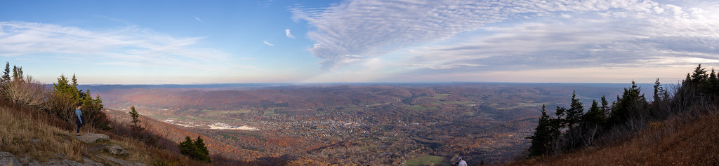 Bellows Pipe TrailHiking · ~9 min drivePhoto: Ktr101, CC BY-SA 2.0 (via Flickr)
 Wilbur’s Clearing to SummitHiking · ~9 min drivePhoto: KimonBerlin, CC BY-SA 2.0 (via Flickr)
- Broad BrookHiking · ~16 min drive
- Appalachian Trail/long TrailHiking · ~17 min drive
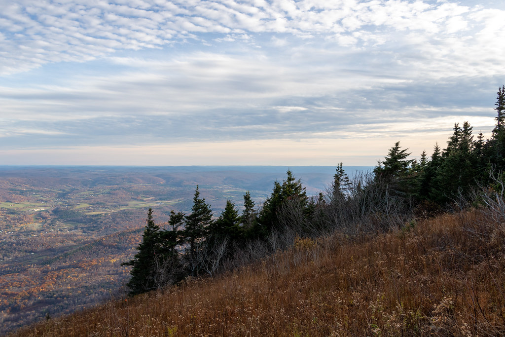 Gould TrailHiking · ~10 min drivePhoto: Ktr101, CC BY-SA 2.0 (via Flickr)
- Thoreau’s FootstepsHiking · ~9 min drivePhoto: KimonBerlin, CC BY-SA 2.0 (via Flickr)
- Overlook TrailHiking · ~10 min drive
 Indian TrailHiking · ~9 min drivePhoto: Paul J. Morris, CC BY-SA 2.0 (via Flickr)
- Deer Hill TrailHiking · ~12 min drive
- Totem TrailHiking · ~10 min drivePhoto: Paul J. Morris, CC BY-SA 2.0 (via Flickr)
Best time to visit Tyler Swamp Loop
Best months: May–October. Best months have typical highs of 55–85 °F, lows of 30 °F or warmer (32 °F where the station doesn't record snow), at most one snowy day and no more than 12 wet days.
Jan
29° / 11°
Feb
31° / 13°
Mar
39° / 20°
Apr
51° / 32°
May
63° / 42°
Jun
70° / 52°
Jul
75° / 57°
Aug
75° / 55°
Sep
68° / 48°
Oct
56° / 36°
Nov
44° / 28°
Dec
34° / 19°
Typical high / low (°F) and days with rain or snow, 1991–2020. Measured at Rowe 3ne, MA, 11.4 mi away at 1,735 ft. This station doesn't record snowfall. Source: NOAA NCEI U.S. Climate Normals 1991–2020.
Map and trail data © OpenStreetMap contributors
