Appalachian Trail/long Trail
- 29.1 mi
- one way
- 6,939 ft
- climb
- 3,390 ft
- high point
- Point to point
- route
Is Appalachian Trail/long Trail open right now?
Closure in the area
There's a closure order in Green Mountain and Finger Lakes National Forests. It doesn't name Appalachian Trail/long Trail, so check the source for the area it covers (4 listed).
Klondike Fire Incident Report
Agency closure covering Green Mountain and Finger Lakes National Forests · USFS · Green Mountain and Finger Lakes National Forests
List of trail closures post-Hurricane Helene
Park closure covering Appalachian National Scenic Trail · NPS · Appalachian National Scenic Trail
Heavily damaged or closed trails
Agency closure covering Green Mountain and Finger Lakes National Forests · USFS · Green Mountain and Finger Lakes National Forests
Glastenbury fire tower is closed to public use
Agency closure covering Green Mountain and Finger Lakes National Forests · USFS · Green Mountain and Finger Lakes National Forests
Black Bears Frequenting the McAfee Knob Area in Virginia
Park alert covering Appalachian National Scenic Trail · NPS · Appalachian National Scenic Trail
As of · Source: USFS · Green Mountain and Finger Lakes National Forests. Agencies don't list every closure — check before you go.
This is a 29-mile point-to-point section of the Appalachian Trail in Vermont, part of the Appalachian National Scenic Trail. It runs through the Manchester Ranger District of the Green Mountain and Finger Lakes National Forests, managed by the Forest Service, and it rises from a low of about 630 feet to a high of 3,390 feet, with a total elevation gain of 6,939 feet. The route is rated expert, and the trip is estimated to take about 13 hours. The trail passes within a mile of two shelters, Old Seth Warner Shelter Site and Seth Warner Shelter, which make good places to break the journey. The Dome (Pownal) and the East Dome Trail lie a few miles away, and the North Branch Hoosic River offers paddling about 4 miles off.
Conditions and forecast on Harmon Hill
Daily highs and lows, wind and the chance of precipitation at the summit and route start for the next 7 days, from the Open-Meteo model.
- Old Seth Warner Shelter SiteCamping0.9 mi
- Seth Warner ShelterCamping1.2 mi
- The Dome (Pownal)Hiking2.3 mi
- East Dome TrailHiking2.7 mi
- AgawonHiking3 mi
- North Branch Hoosic RiverCanoeing4 mi
- Clark CragRock climbing7.3 mi
- Monroe State ForestRock climbing8.1 mi
Source: Roamze catalog (indexable pages within 10 miles, PostGIS distance)
 Vermont Line TrailHiking · ~6 min drivePhoto: }{enry, CC BY 2.0 (via Flickr)
 Appalachian Trail - MassachusettsHiking · ~11 min drivePhoto: Magicpiano, CC BY-SA 4.0 (via Wikimedia Commons)
- Broad BrookHiking · ~6 min drive
- Shoreline TrailHiking · ~7 min drivePhoto: }{enry, CC BY 2.0 (via Flickr)
 Legal Trail 7Hiking · ~13 min drivePhoto: Dougtone, CC BY-SA 2.0 (via Wikimedia Commons)
- Pond Loop TrailHiking · ~7 min drivePhoto: }{enry, CC BY 2.0 (via Flickr)
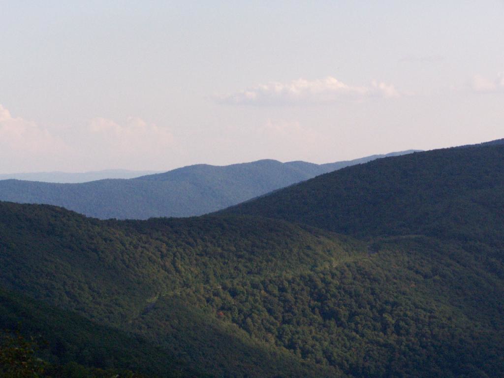 Birch Brook TrailHiking · ~14 min drivePhoto: andyarthur, CC BY 2.0 (via Flickr)
 Hoosic River TrailHiking · ~11 min drivePhoto: JFGryphon, Public Domain Dedication (CC0) (via Flickr)
- The Dome (Pownal)Hiking · ~4 min drive
- Shepherds Well TrailHiking · ~14 min drivePhoto: andyarthur, CC BY 2.0 (via Flickr)
Route details
- Distance
- 29.1 mi
- Climbing
- About 6,939 ft
- Summit
- 2,331 ft
- Difficulty
- Expert
Questions about this route
How long is the Appalachian Trail/long Trail on Harmon Hill?
About 29.1 mi.
How much elevation gain is on the Appalachian Trail/long Trail?
About 6,939 ft of climbing round trip.
How hard is the Appalachian Trail/long Trail?
It is rated expert.
