Bellows Pipe Trail
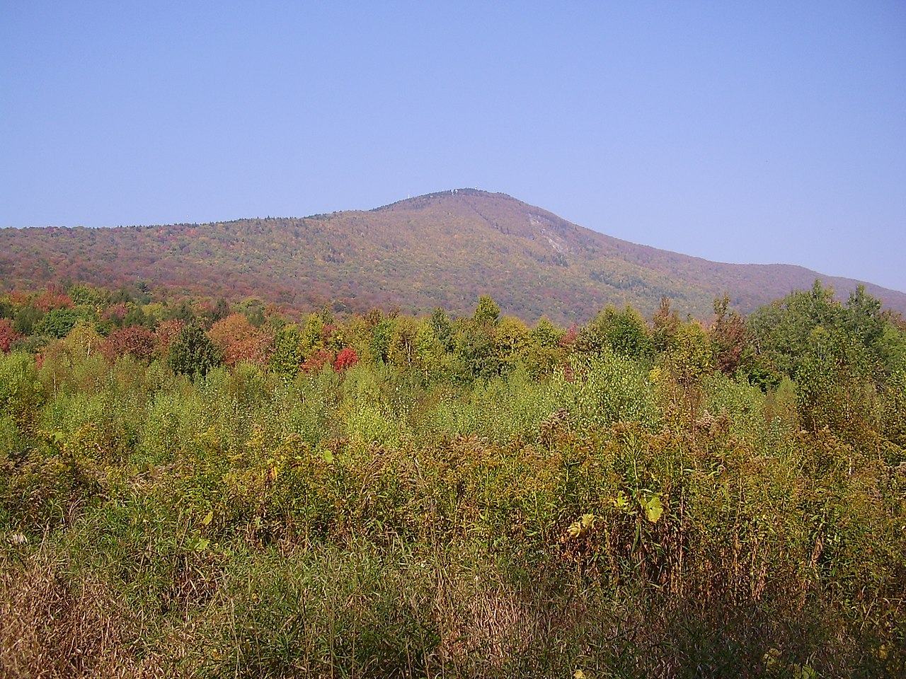
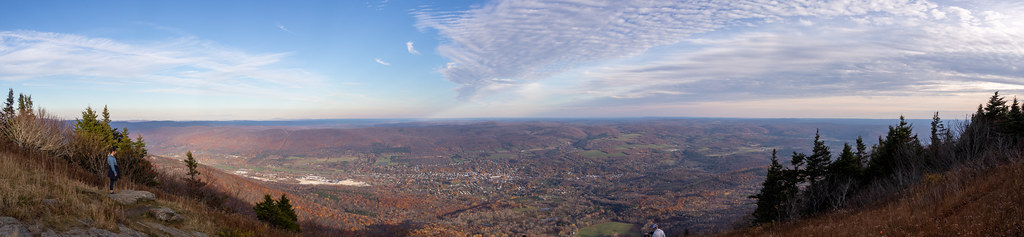 Photo: Ktr101, CC BY-SA 2.0 (via Flickr)
- 1.1 mi
- round trip
- 1,717 ft
- climb
- 2,206 ft
- high point
- Out and back
- route
- Sep
- best months
Bellows Pipe Trail is a moderate out-and-back hike in western Massachusetts, about 2 miles from the town of Renfrew. The route is roughly 2.2 miles long, with a total elevation gain of 1,717 feet, and it reaches a high point of 2,206 feet. The climb is steepest near the 1-mile mark, where the grade reaches about 24 percent. The most comfortable months for a visit are typically late spring through early fall. Typical averages from a nearby weather station in North Adams show June highs around 76°F and September highs around 72°F, though that station sits well below the trail, so temperatures on the summit run cooler. The hike takes about 1.5 hours. Overlook Trail and Gould Trail both lie within about a mile, and Wilbur's Clearing to Summit is about 1.6 miles away. Paddlers can reach the Hoosic River about 4.4 miles off.
Best time to go · Sep
Best time to visit Bellows Pipe Trail
Best months: September. Best months have typical highs of 55–85 °F, lows of 30 °F or warmer (32 °F where the station doesn't record snow), at most one snowy day and no more than 12 wet days.
Jan
32° / 14°
12 wet
Feb
35° / 15°
10 wet
Mar
44° / 24°
12 wet
Apr
57° / 33°
13 wet
May
69° / 44°
14 wet
Jun
76° / 53°
15 wet
Jul
81° / 58°
14 wet
Aug
79° / 56°
14 wet
Sep
72° / 49°
12 wet
Oct
60° / 38°
13 wet
Nov
48° / 30°
12 wet
Dec
38° / 22°
13 wet
Typical high / low (°F) and days with rain or snow, 1991–2020. Measured at North Adams Harriman Ap, MA, 3.9 mi away at 654 ft. The station sits about 1,600 ft lower than this place, so expect it a little cooler here. This station doesn't record snowfall. Source: NOAA NCEI U.S. Climate Normals 1991–2020.
Keep exploring — more trails worth the drive
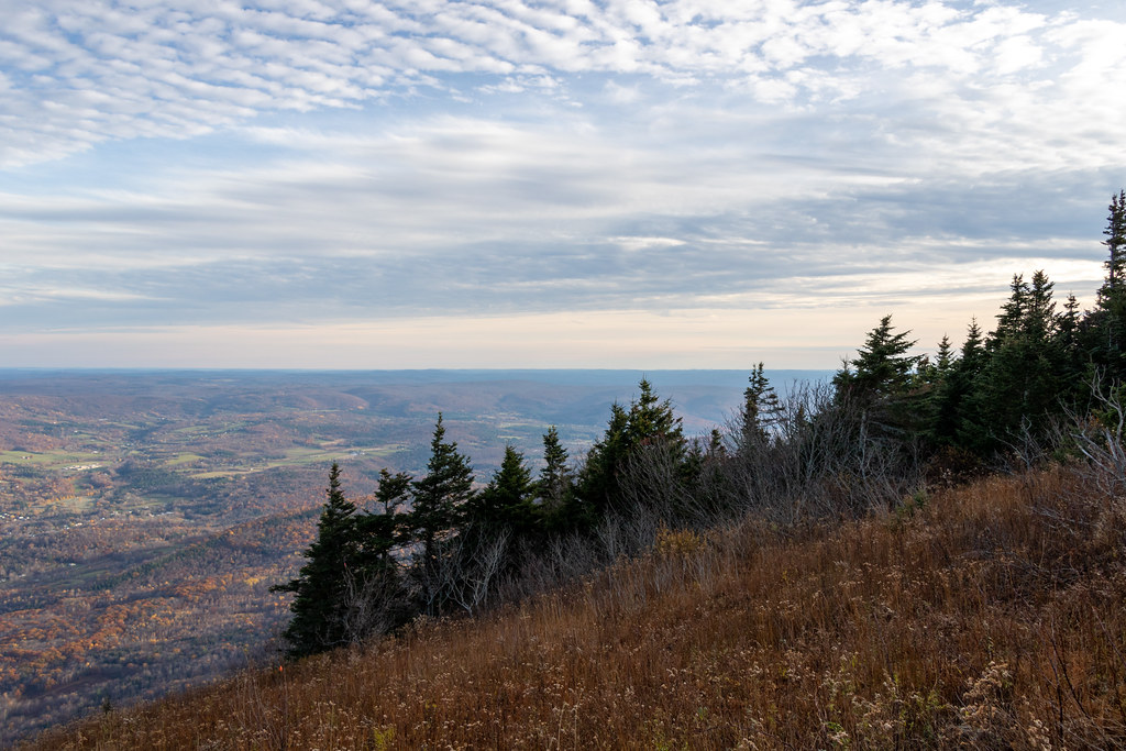 Photo: Ktr101, CC BY-SA 2.0 (via Flickr)
Gould Trail
~2 min drive
Gould Trail is a 2.28-mile out-and-back hike in Massachusetts with 756 feet of elevation gain.
 Photo: KimonBerlin, CC BY-SA 2.0 (via Flickr)
Wilbur’s Clearing to Summit
~3 min drive
Brisk point-to-point ascent from clearing to summit with panoramic views.
HIKE
Broad Brook
~13 min drive
A 6.45-mile out-and-back trail in Vermont that connects to the Agawan Trail system, perfect for hikers looking to explore the region's backcountry.
HIKE
Appalachian Trail/long Trail
~17 min drive
29.09-mile point-to-point hike on the Appalachian Trail/Long Trail in Vermont with 6,939 ft elevation gain.
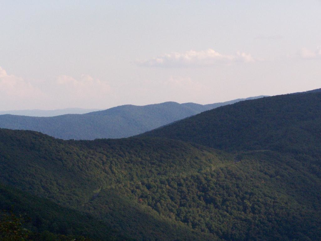 Photo: andyarthur, CC BY 2.0 (via Flickr)
Birch Brook Trail
~16 min drive
2.84-mile out-and-back trail in New York with 1,225 ft of elevation gain
Photo: KimonBerlin, CC BY-SA 2.0 (via Flickr)Thoreau’s Footsteps
~3 min drive
Point-to-point trail retracing Thoreau's explorations through Massachusetts nature.
HIKE
Overlook Trail
~1 min drive
1.58-mile out-and-back trail in Massachusetts with 487 ft elevation gain.
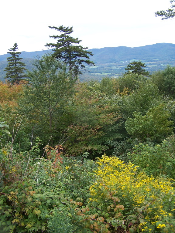 Photo: andyarthur, CC BY 2.0 (via Flickr)
Jones Nose to Summit
~5 min drive
Point-to-point ascent from Jones Nose to a Massachusetts summit with scenic views.
HIKE
Deer Hill Trail
~3 min drive
Easy 1.15-mile out-and-back woodland hike in Massachusetts.
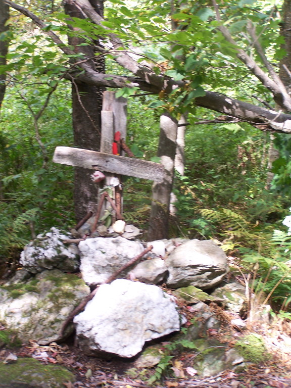 Photo: andyarthur, CC BY 2.0 (via Flickr)
Rounds Rock - Jones Nose Loop
~7 min drive
Short point-to-point trail linking two rocky Massachusetts outcrops with scenic views.
Map and trail data © OpenStreetMap contributors
