Overlook Trail
- 1.6 mi
- round trip
- 1,570 ft
- climb
- 3,446 ft
- high point
- Out and back
- route
Is Overlook Trail open right now?
Closure in the area
There's a closure order in Appalachian National Scenic Trail. It doesn't name Overlook Trail, so check the source for the area it covers.
List of trail closures post-Hurricane Helene
Park closure covering Appalachian National Scenic Trail · NPS · Appalachian National Scenic Trail
Black Bears Frequenting the McAfee Knob Area in Virginia
Park alert covering Appalachian National Scenic Trail · NPS · Appalachian National Scenic Trail
As of · Source: NPS · Appalachian National Scenic Trail. Agencies don't list every closure — check before you go.
Overlook Trail is a 3.2-mile out-and-back hike in Massachusetts, set within Mount Greylock State Reservation and along the Appalachian National Scenic Trail. The land is managed by State Park and Recreation, and the trail's high point reaches 3,446 feet, with a total elevation gain of 1,570 feet over the course of the round trip. The climb is back-loaded, with the steepest stretch coming early at about 0.28 miles in, where the grade reaches 16%. The trail starts at 3,439 feet and drops back to 2,848 feet at its low point before returning to the start. The hike is rated moderate and takes about two hours to complete. Several other trails sit close by. Bellows Pipe Trail is 0.7 miles away and Gould Trail is 0.8 miles away. March Cataract Trail and Stony Ledge are each about a mile off.
Keep exploring — more trails worth the drive
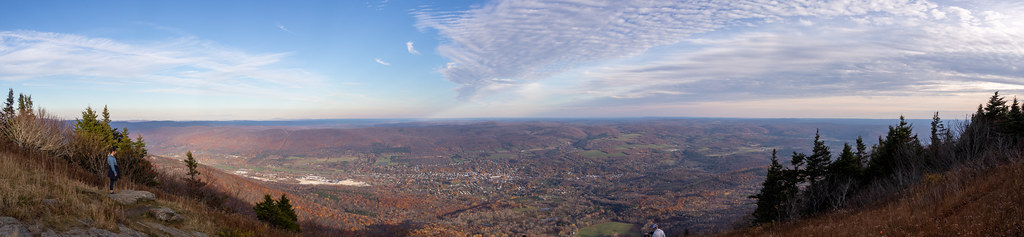 Photo: Ktr101, CC BY-SA 2.0 (via Flickr)
Bellows Pipe Trail
~1 min drive
Bellows Pipe Trail is a 1.08-mile out-and-back hike in Massachusetts.
 Photo: KimonBerlin, CC BY-SA 2.0 (via Flickr)
Thoreau’s Footsteps
~3 min drive
Point-to-point trail retracing Thoreau's explorations through Massachusetts nature.
HIKE
Broad Brook
~13 min drive
A 6.45-mile out-and-back trail in Vermont that connects to the Agawan Trail system, perfect for hikers looking to explore the region's backcountry.
HIKE
Appalachian Trail/long Trail
~18 min drive
29.09-mile point-to-point hike on the Appalachian Trail/Long Trail in Vermont with 6,939 ft elevation gain.
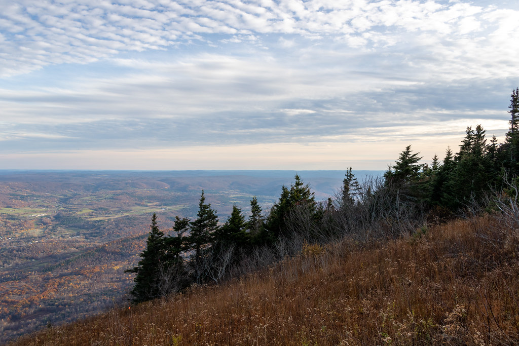 Photo: Ktr101, CC BY-SA 2.0 (via Flickr)
Gould Trail
~1 min drive
Gould Trail is a 2.28-mile out-and-back hike in Massachusetts with 756 feet of elevation gain.
Photo: KimonBerlin, CC BY-SA 2.0 (via Flickr)Wilbur’s Clearing to Summit
~3 min drive
Brisk point-to-point ascent from clearing to summit with panoramic views.
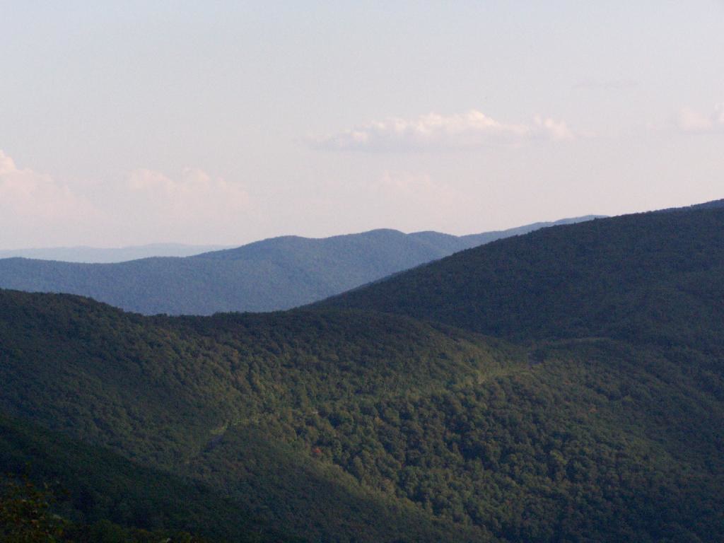 Photo: andyarthur, CC BY 2.0 (via Flickr)
Birch Brook Trail
~15 min drive
2.84-mile out-and-back trail in New York with 1,225 ft of elevation gain
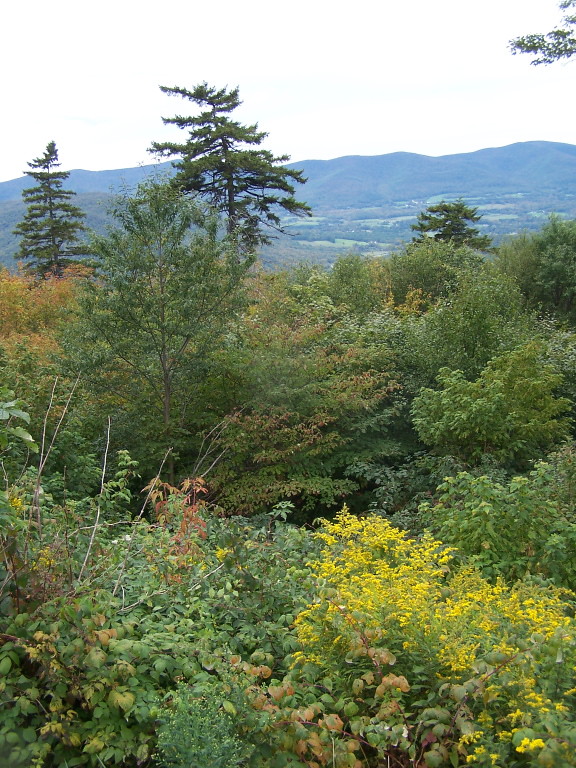 Photo: andyarthur, CC BY 2.0 (via Flickr)
Jones Nose to Summit
~3 min drive
Point-to-point ascent from Jones Nose to a Massachusetts summit with scenic views.
HIKE
Deer Hill Trail
~2 min drive
Easy 1.15-mile out-and-back woodland hike in Massachusetts.
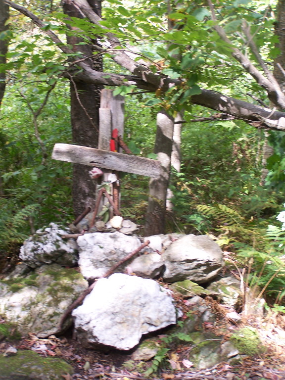 Photo: andyarthur, CC BY 2.0 (via Flickr)
Rounds Rock - Jones Nose Loop
~6 min drive
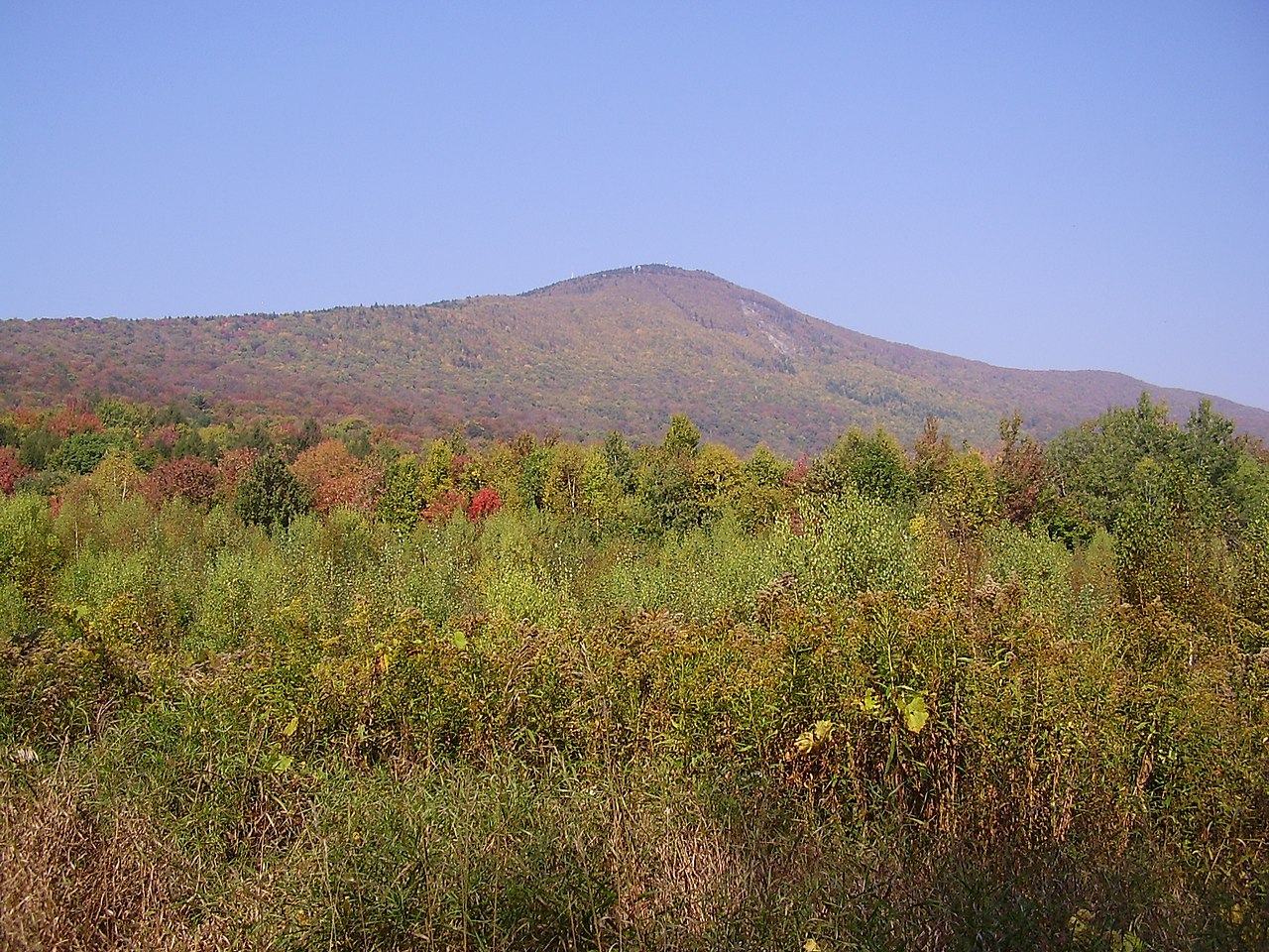
Short point-to-point trail linking two rocky Massachusetts outcrops with scenic views.
Route details
- Distance
- 1.6 mi round trip
- Climbing
- About 1,570 ft
- Summit
- 3,492 ft
- Difficulty
- Moderate
- Time
- About 1 hour
Other routes up Mount Greylock
Questions about this route
How long is the Overlook Trail on Mount Greylock?
About 1.6 mi round trip.
How much elevation gain is on the Overlook Trail?
About 1,570 ft of climbing round trip.
How hard is the Overlook Trail?
It is rated moderate.
How long does the Overlook Trail take?
About 1 hour round trip.
How many routes go up Mount Greylock?
2: Overlook Trail and Appalachian Trail/long Trail.
Conditions and forecast on Mount Greylock
Daily highs and lows, wind and the chance of precipitation at the summit and route start for the next 7 days, from the Open-Meteo model.
Map and trail data © OpenStreetMap contributors
