Gould Trail
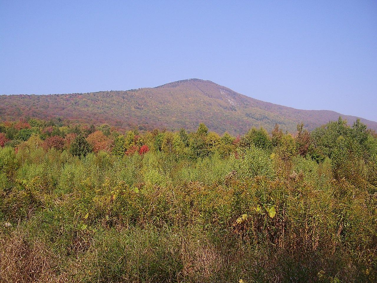
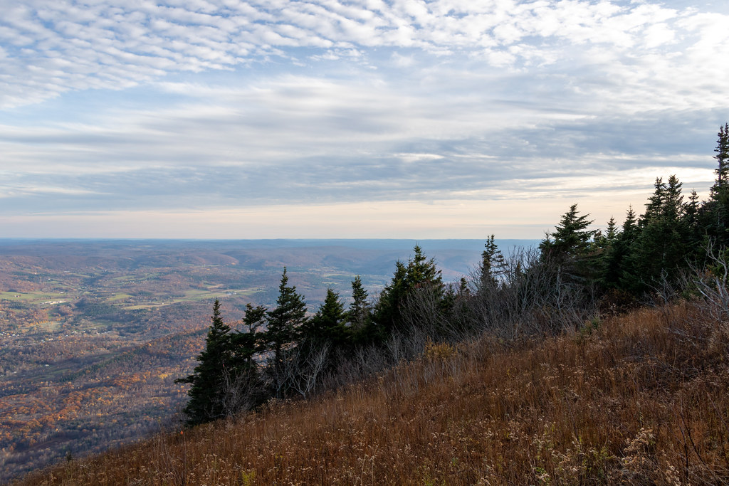 Photo: Ktr101, CC BY-SA 2.0 (via Flickr)
- 2.3 mi
- round trip
- 2,256 ft
- climb
- 3,165 ft
- high point
- Out and back
- route
- May–Oct
- best months
Gould Trail is a moderate out-and-back hike in western Massachusetts, about 2 miles from the town of Maple Grove. The route is roughly 4.6 miles long, with a total elevation gain of 2,256 feet, and it climbs from a starting point of about 2,480 feet to a high point of 3,165 feet. Summer is the most comfortable time to go. Typical averages from a nearby weather station run to highs around 75°F in July, though that station sits well below the trail, so temperatures on the summit run cooler. The station also records lows near 50°F in June and September. The trip takes about 2.5 hours. Overlook Trail is less than a mile away, and Bellows Pipe Trail and March Cataract Trail are each about a mile off. Paddlers can reach the Hoosic River about 3.5 miles away.
Best time to go · May–Oct
Best time to visit Gould Trail
Best months: May–October. Best months have typical highs of 55–85 °F, lows of 30 °F or warmer (32 °F where the station doesn't record snow), at most one snowy day and no more than 12 wet days.
Jan
28° / 9°
Feb
31° / 11°
Mar
39° / 19°
Apr
51° / 30°
May
63° / 40°
Jun
70° / 50°
Jul
75° / 53°
Aug
74° / 52°
Sep
67° / 46°
Oct
55° / 35°
Nov
45° / 27°
Dec
34° / 18°
Typical high / low (°F) and days with rain or snow, 1991–2020. Measured at E Hawley, MA, 15.6 mi away at 1,647 ft. The station sits about 1,500 ft lower than this place, so expect it a little cooler here. This station doesn't record snowfall. Source: NOAA NCEI U.S. Climate Normals 1991–2020.
Keep exploring — more trails worth the drive
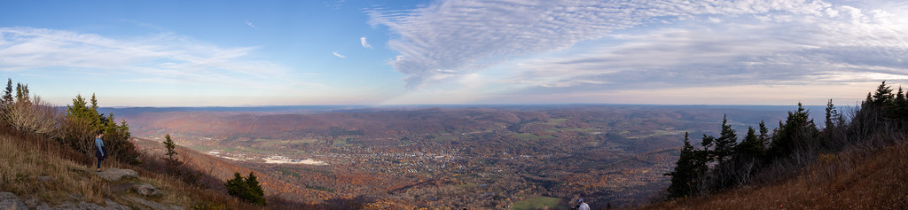 Photo: Ktr101, CC BY-SA 2.0 (via Flickr)
Bellows Pipe Trail
~2 min drive
Bellows Pipe Trail is a 1.08-mile out-and-back hike in Massachusetts.
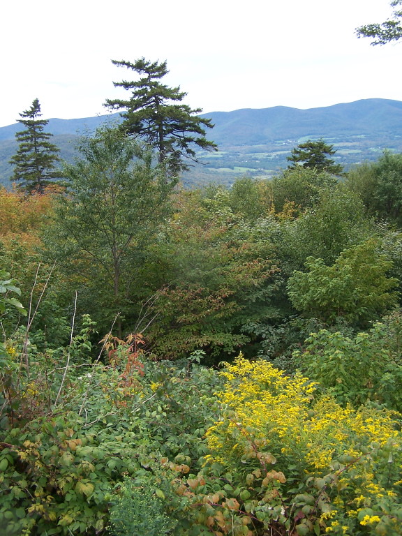 Photo: andyarthur, CC BY 2.0 (via Flickr)
Jones Nose to Summit
~3 min drive
Point-to-point ascent from Jones Nose to a Massachusetts summit with scenic views.
HIKE
Broad Brook
~14 min drive
A 6.45-mile out-and-back trail in Vermont that connects to the Agawan Trail system, perfect for hikers looking to explore the region's backcountry.
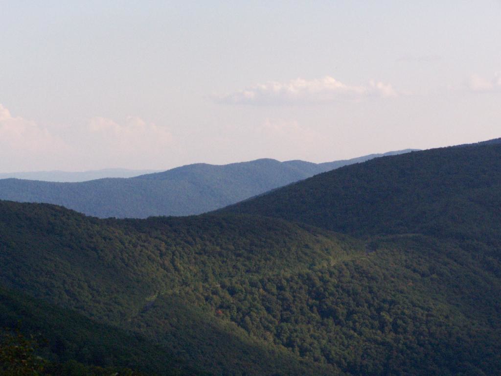 Photo: andyarthur, CC BY 2.0 (via Flickr)
Birch Brook Trail
~16 min drive
2.84-mile out-and-back trail in New York with 1,225 ft of elevation gain
 Photo: KimonBerlin, CC BY-SA 2.0 (via Flickr)
Thoreau’s Footsteps
~5 min drive
Point-to-point trail retracing Thoreau's explorations through Massachusetts nature.
HIKE
Overlook Trail
~1 min drive
1.58-mile out-and-back trail in Massachusetts with 487 ft elevation gain.
Photo: KimonBerlin, CC BY-SA 2.0 (via Flickr)Wilbur’s Clearing to Summit
~5 min drive
Brisk point-to-point ascent from clearing to summit with panoramic views.
HIKE
Deer Hill Trail
~2 min drive
Easy 1.15-mile out-and-back woodland hike in Massachusetts.
 Photo: andyarthur, CC BY 2.0 (via Flickr)
Rounds Rock - Jones Nose Loop
~5 min drive
Short point-to-point trail linking two rocky Massachusetts outcrops with scenic views.
HIKE
Bradley Farm Trail
~8 min drive
1.15-mile out-and-back trail in Massachusetts with 192 ft gain.
Map and trail data © OpenStreetMap contributors
