Busby Trail
- 1.2 mi
- one way
- 402 ft
- climb
- 2,300 ft
- high point
- Point to point
- route
- May–Oct
- best months
Busby Trail is a short, easy hike in western Massachusetts, about 1.8 miles from the town of West Summit. The route is a point-to-point trail of roughly 1.2 miles, with a one-way climb of about 400 feet from a low point near 1,880 feet to a high of about 2,300 feet. The steepest stretch comes at about 0.66 miles in, with a grade of about 15 percent. Summer is the most comfortable time to go. Typical averages from a nearby weather station show July and August highs around 75°F with lows in the mid-50s, and the station sits about 565 feet lower than the trail's high point, so temperatures on the summit run cooler. North Pond Loop is about 1.4 miles away and Tyler Swamp Loop about 1.8 miles. Monroe State Forest, a climbing area, is about 5 miles off, and the North Branch Hoosic River, a paddling route, is about 6.6 miles away.
- North Pond LoopHiking1.4 mi
- Tyler Swamp LoopHiking1.8 mi
- Monroe State ForestRock climbing5.2 mi
- North Branch Hoosic RiverCanoeing6.6 mi
 Hoosic RiverCanoeingPhoto: John Phelan, CC BY 3.0 (via Wikimedia Commons)7.6 mi
- Old Seth Warner Shelter SiteCamping7.9 mi
- Clark CragRock climbing8.1 mi
- Seth Warner ShelterCamping9.3 mi
Source: Roamze catalog (indexable pages within 10 miles, PostGIS distance)
 Pond Loop TrailHiking · ~8 min drivePhoto: }{enry, CC BY 2.0 (via Flickr)
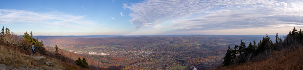 Bellows Pipe TrailHiking · ~9 min drivePhoto: Ktr101, CC BY-SA 2.0 (via Flickr)
- Broad BrookHiking · ~14 min drive
- Appalachian Trail/long TrailHiking · ~14 min drive
- Shoreline TrailHiking · ~8 min drivePhoto: }{enry, CC BY 2.0 (via Flickr)
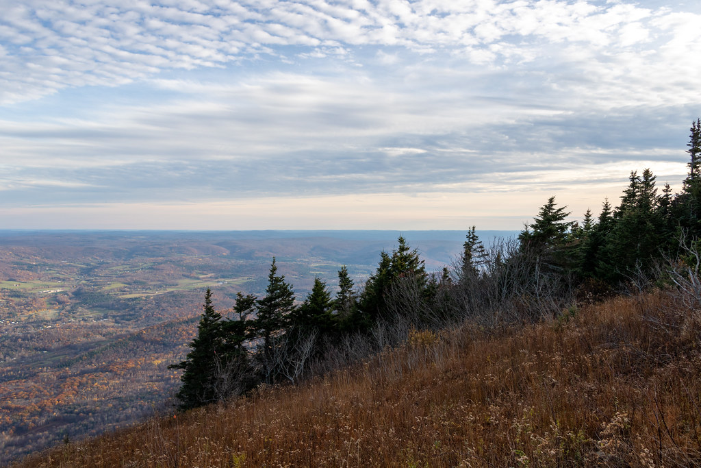 Gould TrailHiking · ~10 min drivePhoto: Ktr101, CC BY-SA 2.0 (via Flickr)
 Wilbur’s Clearing to SummitHiking · ~8 min drivePhoto: KimonBerlin, CC BY-SA 2.0 (via Flickr)
- Overlook TrailHiking · ~10 min drive
- Thoreau’s FootstepsHiking · ~8 min drivePhoto: KimonBerlin, CC BY-SA 2.0 (via Flickr)
- Deer Hill TrailHiking · ~12 min drive
Best time to visit Busby Trail
Best months: May–October. Best months have typical highs of 55–85 °F, lows of 30 °F or warmer (32 °F where the station doesn't record snow), at most one snowy day and no more than 12 wet days.
Jan
29° / 11°
Feb
31° / 13°
Mar
39° / 20°
Apr
51° / 32°
May
63° / 42°
Jun
70° / 52°
Jul
75° / 57°
Aug
75° / 55°
Sep
68° / 48°
Oct
56° / 36°
Nov
44° / 28°
Dec
34° / 19°
Typical high / low (°F) and days with rain or snow, 1991–2020. Measured at Rowe 3ne, MA, 10.9 mi away at 1,735 ft. The station sits about 600 ft lower than this place, so expect it a little cooler here. This station doesn't record snowfall. Source: NOAA NCEI U.S. Climate Normals 1991–2020.
Map and trail data © OpenStreetMap contributors
