Indian Trail
 Photo: Paul J. Morris, CC BY-SA 2.0 (via Flickr)
- 0.8 mi
- one way
- 650 ft
- climb
- 1,663 ft
- high point
- Point to point
- route
- May–Oct
- best months
Indian Trail is a 0.76-mile hike in western Massachusetts, about a mile from the village of Zoar. It is a short, easy outing, with a total elevation gain of 650 feet from start to finish. The route is a point-to-point trail, not a loop, and it rises from about 1,417 feet to a high point of 1,663 feet before descending slightly. Summer is the most comfortable time to go. Typical averages from a nearby weather station at a similar elevation run to highs around 75°F in July with lows near 53°F, while winter highs there sit in the 20s and 30s. The trail is about half an hour of walking, so plan on a short stop. Bikes are not allowed here. Nearby options include the Nature Trail and Totem Trail, both about a mile away, and the Deerfield River, roughly 1.6 miles off. Monroe State Forest, about 5.5 miles away, offers climbing.
Best time to go · May–Oct
Best time to visit Indian Trail
Best months: May–October. Best months have typical highs of 55–85 °F, lows of 30 °F or warmer (32 °F where the station doesn't record snow), at most one snowy day and no more than 12 wet days.
Jan
28° / 9°
Feb
31° / 11°
Mar
39° / 19°
Apr
51° / 30°
May
63° / 40°
Jun
70° / 50°
Jul
75° / 53°
Aug
74° / 52°
Sep
67° / 46°
Oct
55° / 35°
Nov
45° / 27°
Dec
34° / 18°
Typical high / low (°F) and days with rain or snow, 1991–2020. Measured at E Hawley, MA, 6.5 mi away at 1,647 ft. This station doesn't record snowfall. Source: NOAA NCEI U.S. Climate Normals 1991–2020.
Keep exploring — more trails worth the drive
Photo: Paul J. Morris, CC BY-SA 2.0 (via Flickr)Nature Trail
~2 min drive
A 1.97-mile point-to-point woodland walk in Massachusetts.
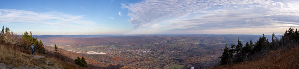 Photo: Ktr101, CC BY-SA 2.0 (via Flickr)
Bellows Pipe Trail
~18 min drive
Bellows Pipe Trail is a 1.08-mile out-and-back hike in Massachusetts.
HIKE
Broad Brook
~23 min drive
A 6.45-mile out-and-back trail in Vermont that connects to the Agawan Trail system, perfect for hikers looking to explore the region's backcountry.
HIKE
Appalachian Trail/long Trail
~22 min drive
29.09-mile point-to-point hike on the Appalachian Trail/Long Trail in Vermont with 6,939 ft elevation gain.
Photo: Paul J. Morris, CC BY-SA 2.0 (via Flickr)Totem Trail
~2 min drive
Totem Trail is a 0.99-mile point-to-point trail in Massachusetts with 379 ft gain.
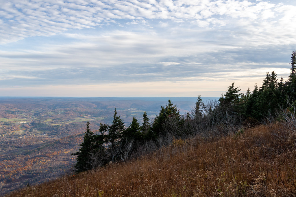 Photo: Ktr101, CC BY-SA 2.0 (via Flickr)
Gould Trail
~19 min drive
Gould Trail is a 2.28-mile out-and-back hike in Massachusetts with 756 feet of elevation gain.
 Photo: }{enry, CC BY 2.0 (via Flickr)
Shoreline Trail
~16 min drive
0.43-mile out-and-back hike in Massachusetts with 206 ft of elevation gain.
 Photo: Arnab Majumdar, CC BY-SA 3.0 (via Wikimedia Commons)
Tower Trail (White Trail)
~20 min drive
2.6-mile out-and-back hike in Massachusetts with 1,213 ft elevation gain.
Photo: }{enry, CC BY 2.0 (via Flickr)Pond Loop Trail
~16 min drive
2.07-mile out-and-back pond trail in Massachusetts with 381 ft gain.
 Photo: Dougtone, CC BY-SA 2.0 (via Wikimedia Commons)
Legal Trail 7
~21 min drive
4.22-mile out-and-back trail in Vermont with 1,025 ft elevation gain
Route details
- Distance
- 0.8 mi
- Climbing
- About 650 ft
- Summit
- 1,694 ft
- Difficulty
- Easy
- Time
- About 0.5 hours
Questions about this route
How long is the Indian Trail on Todd Mountain?
About 0.8 mi.
How much elevation gain is on the Indian Trail?
About 650 ft of climbing round trip.
How hard is the Indian Trail?
It is rated easy.
How long does the Indian Trail take?
About 0.5 hours round trip.
Conditions and forecast on Todd Mountain
Daily highs and lows, wind and the chance of precipitation at the summit and route start for the next 7 days, from the Open-Meteo model.
Map and trail data © OpenStreetMap contributors
