Shoreline Trail
 Photo: }{enry, CC BY 2.0 (via Flickr)
- 0.4 mi
- round trip
- 145 ft
- climb
- 1,082 ft
- high point
- Out and back
- route
Shoreline Trail is a short out-and-back hike in Massachusetts covering 0.43 miles with 206 feet of elevation gain. The trail follows a straightforward route through the state park and recreation area.
Keep exploring — more trails worth the drive
Photo: }{enry, CC BY 2.0 (via Flickr)Pond Loop Trail
Next door
2.07-mile out-and-back pond trail in Massachusetts with 381 ft gain.
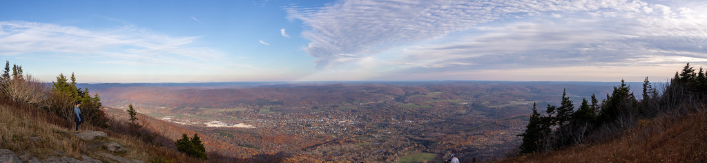 Photo: Ktr101, CC BY-SA 2.0 (via Flickr)
Bellows Pipe Trail
~13 min drive
Bellows Pipe Trail is a 1.08-mile out-and-back hike in Massachusetts.
HIKE
Broad Brook
~9 min drive
A 6.45-mile out-and-back trail in Vermont that connects to the Agawan Trail system, perfect for hikers looking to explore the region's backcountry.
HIKE
Appalachian Trail/long Trail
~7 min drive
29.09-mile point-to-point hike on the Appalachian Trail/Long Trail in Vermont with 6,939 ft elevation gain.
Photo: }{enry, CC BY 2.0 (via Flickr)Vermont Line Trail
Next door
0.96-mile out-and-back trail in Massachusetts with 154 ft elevation gain.
 Photo: Dougtone, CC BY-SA 2.0 (via Wikimedia Commons)
Legal Trail 7
~14 min drive
4.22-mile out-and-back trail in Vermont with 1,025 ft elevation gain
 Photo: KimonBerlin, CC BY-SA 2.0 (via Flickr)
Wilbur’s Clearing to Summit
~11 min drive
Brisk point-to-point ascent from clearing to summit with panoramic views.
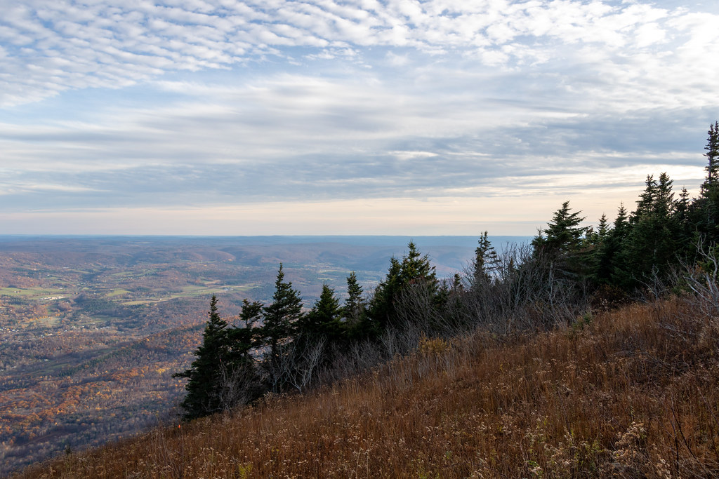 Photo: Ktr101, CC BY-SA 2.0 (via Flickr)
Gould Trail
~15 min drive
Gould Trail is a 2.28-mile out-and-back hike in Massachusetts with 756 feet of elevation gain.
Photo: KimonBerlin, CC BY-SA 2.0 (via Flickr)Thoreau’s Footsteps
~11 min drive
Point-to-point trail retracing Thoreau's explorations through Massachusetts nature.
HIKE
Agawon
~9 min drive
A challenging 1.44-mile out-and-back singletrack trail in Vermont that connects to Broad Brook Trail and The Dome Trail.
Map and trail data © OpenStreetMap contributors
