Woodsum Spur Trail
- 1.6 mi
- round trip
- 1,805 ft
- climb
- 3,143 ft
- high point
- Out and back
- route
Woodsum Spur Trail is a moderate out-and-back hike of about 3.3 miles in the Stewart Family Preserve in western Maine, a preserve managed by a non-governmental organization. The trail starts at an elevation of about 3,080 feet and climbs to a high point of 3,143 feet, with a total elevation gain of 1,805 feet over the course of the round trip. The steepest stretch comes at about 0.72 miles in, where the grade reaches 24 percent. The trip takes about two hours, and the trail is a short drive from several other routes. Step Falls Trail lies about 4.4 miles away, and Mount Will Trail is about 4.7 miles off. The Orange/Red Trail and Starr Trail (yellow) are both within about 5 miles.
Conditions and forecast on Puzzle Mountain
Daily highs and lows, wind and the chance of precipitation at the summit and route start for the next 7 days, from the Open-Meteo model.
- Step Falls TrailHiking4.4 mi
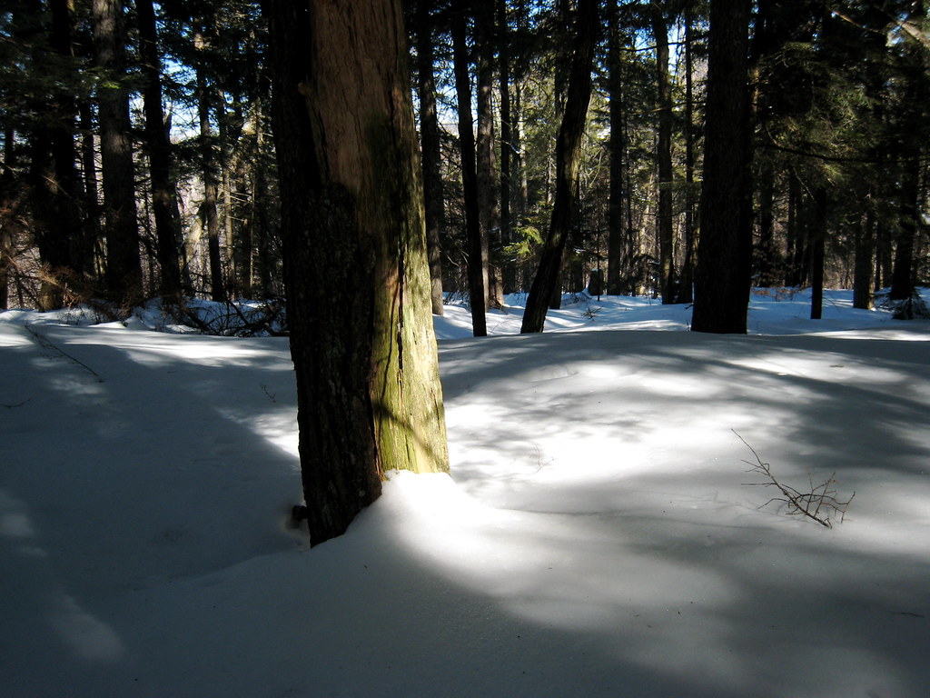 Mount Will TrailHikingPhoto: ChrisDag, CC BY 2.0 (via Flickr)4.7 mi
- Orange/Red TrailHiking5.2 mi
- Starr Trail (yellow)Hiking5.3 mi
- Quarry LineSki touring6 mi
- Red Pine LineSki touring6 mi
- Ski BackCross-country skiing6.4 mi
 White Cap SummitHikingPhoto: Tv.Rule, CC BY-SA 4.0 (via Wikimedia Commons)6.6 mi
Source: Roamze catalog (indexable pages within 10 miles, PostGIS distance)
- Mount Will TrailHiking · ~8 min drivePhoto: ChrisDag, CC BY 2.0 (via Flickr)
- White Cap SummitHiking · ~11 min drivePhoto: Tv.Rule, CC BY-SA 4.0 (via Wikimedia Commons)
 Appalachian TrailHiking · ~14 min drivePhoto: athrasher, Public Domain Dedication (CC0) (via Flickr)
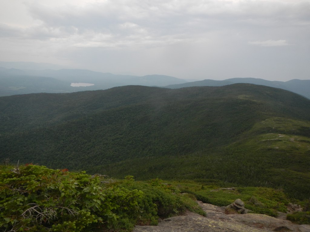 Wright TrailHiking · ~18 min drivePhoto: John Hayes (gravelboy), CC BY 2.0 (via Flickr)
- Summit LoopHiking · ~11 min drivePhoto: Tv.Rule, CC BY-SA 4.0 (via Wikimedia Commons)
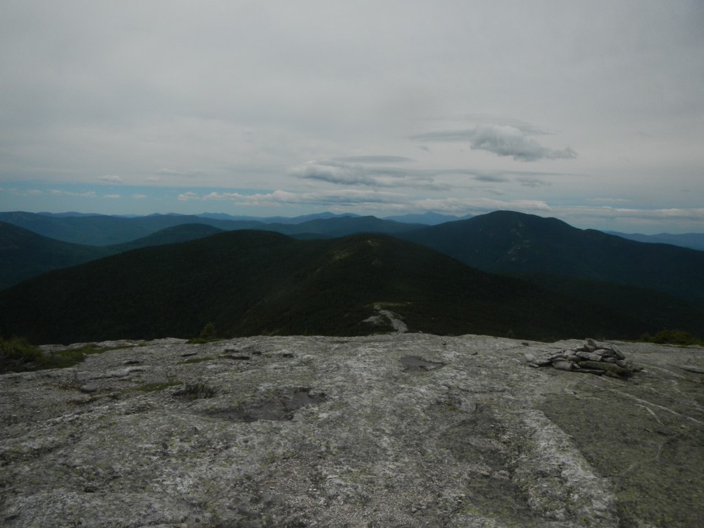 Baldpate Mountain TrailHiking · ~12 min drivePhoto: John Hayes (gravelboy), CC BY 2.0 (via Flickr)
- Eyebrow TrailHiking · ~14 min drivePhoto: athrasher, Public Domain Dedication (CC0) (via Flickr)
- Grafton Loop TrailHiking · ~15 min drive
 Notch TrailHiking · ~17 min drivePhoto: John Hayes (gravelboy), CC BY 2.0 (via Flickr)
 Table Rock TrailHiking · ~14 min drivePhoto: daveynin, CC BY 2.0 (via Flickr)
Route details
- Distance
- 1.6 mi round trip
- Climbing
- About 1,805 ft
- Summit
- 3,154 ft
- Difficulty
- Moderate
- Time
- About 1 hour
Questions about this route
How long is the Woodsum Spur Trail on Puzzle Mountain?
About 1.6 mi round trip.
How much elevation gain is on the Woodsum Spur Trail?
About 1,805 ft of climbing round trip.
How hard is the Woodsum Spur Trail?
It is rated moderate.
How long does the Woodsum Spur Trail take?
About 1 hour round trip.
Map and trail data © OpenStreetMap contributors
