Summit Loop
 Photo: Tv.Rule, CC BY-SA 4.0 (via Wikimedia Commons)
- 0.7 mi
- round trip
- 979 ft
- climb
- 1,544 ft
- high point
- Out and back
- route
- May–Oct
- best months
Summit Loop is a 1.4-mile out-and-back trail in Maine with 979 feet of elevation gain and loss, reaching a maximum elevation of 1,544 feet.
- Nearby · White Cap Summit · Mount Will Trail · Wright Trail
Best time to go · May–Oct
Best time to visit Summit Loop
Best months: May–October. Best months have typical highs of 55–85 °F, lows of 30 °F or warmer (32 °F where the station doesn't record snow), at most one snowy day and no more than 12 wet days.
Jan
28° / 8°
Feb
31° / 11°
Mar
40° / 19°
Apr
52° / 31°
May
65° / 42°
Jun
74° / 51°
Jul
79° / 57°
Aug
78° / 56°
Sep
71° / 47°
Oct
57° / 37°
Nov
45° / 27°
Dec
34° / 17°
Typical high / low (°F) and days with rain or snow, 1991–2020. Measured at Bethel 6 Sse, ME, 11 mi away at 790 ft. The station sits about 800 ft lower than this place, so expect it a little cooler here. This station doesn't record snowfall. Source: NOAA NCEI U.S. Climate Normals 1991–2020.
Keep exploring — more trails worth the drive
Photo: Tv.Rule, CC BY-SA 4.0 (via Wikimedia Commons)White Cap Summit
Next door
0.78-mile out-and-back trail to White Cap Summit in Maine with 1,132 ft gain.
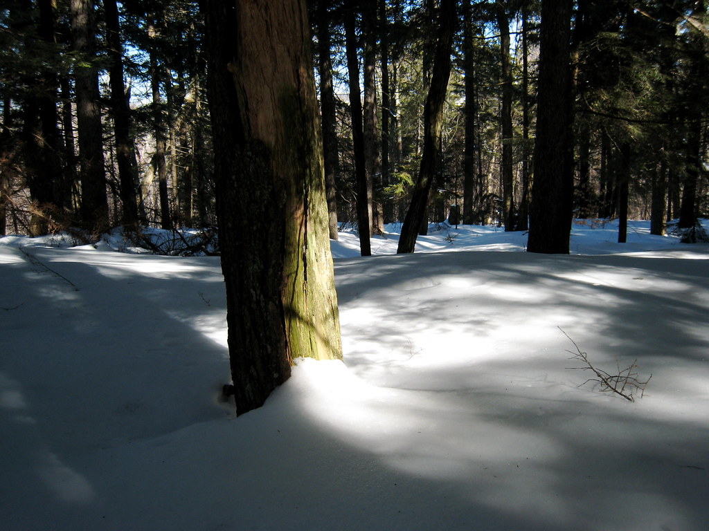 Photo: ChrisDag, CC BY 2.0 (via Flickr)
Mount Will Trail
~4 min drive
2.89-mile loop around Mount Will in Maine with 1,159 ft elevation gain.
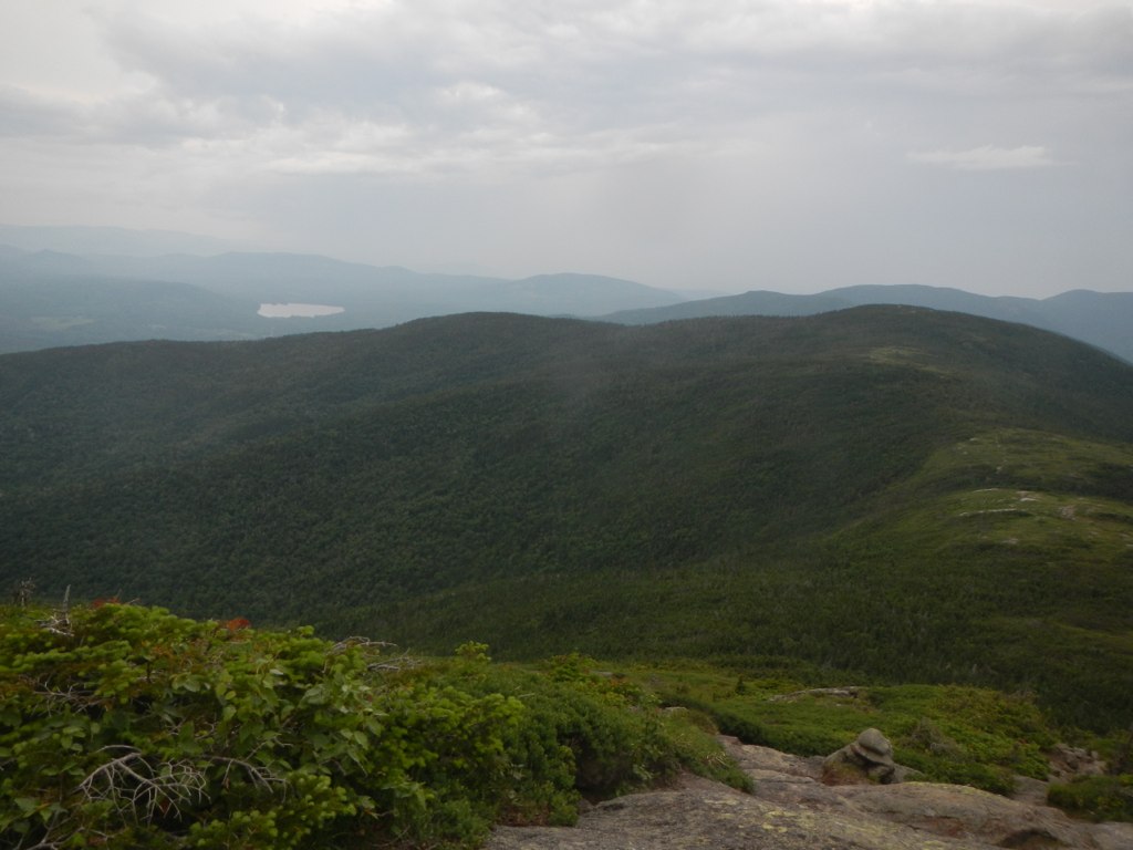 Photo: John Hayes (gravelboy), CC BY 2.0 (via Flickr)
Wright Trail
~13 min drive
3.84-mile out-and-back trail in Maine with 485 ft gain and 2,865 ft loss.
 Photo: athrasher, Public Domain Dedication (CC0) (via Flickr)
Appalachian Trail
~17 min drive
6.02-mile out-and-back on the Appalachian Trail in Maine with 2,943 ft gain/loss
 Photo: John Hayes (gravelboy), CC BY 2.0 (via Flickr)
Goose Eye
~14 min drive
2.40-mile out-and-back trail in Maine with 3,892 ft gain and 5,271 ft loss.
 Photo: Magicpiano, CC BY-SA 3.0 (via Wikimedia Commons)
Bethel Village Trail Access Trail
~9 min drive
0.96-mile out-and-back trail in Bethel, Maine with 124 ft elevation gain.
HIKE
Grafton Loop Trail
~16 min drive
26.82-mile point-to-point trail in Maine with 6,938 ft gain and 8,338 ft loss.
Photo: athrasher, Public Domain Dedication (CC0) (via Flickr)Eyebrow Trail
~17 min drive
1.04-mile out-and-back hike in Maine with 1,153 ft elevation gain
 Photo: John Hayes (gravelboy), CC BY 2.0 (via Flickr)
Carlo Col
~14 min drive
Carlo Col is a 4.00-mile out-and-back trail in Maine with 1,536 feet of elevation loss.
Photo: Magicpiano, CC BY-SA 3.0 (via Wikimedia Commons)Mill Brook Trail
~10 min drive
1.0-mile out-and-back trail in Maine with 63 ft of elevation gain.
Map and trail data © OpenStreetMap contributors
