Appalachian Trail
 Photo: athrasher, Public Domain Dedication (CC0) (via Flickr)
- 3.0 mi
- round trip
- 2,943 ft
- climb
- 4,043 ft
- high point
- Out and back
- route
Clear at last check
Weather is good · OpenWeather · checked 20 h ago
Is Appalachian Trail open right now?
Closure in the area
There's a closure order in Appalachian National Scenic Trail. It doesn't name Appalachian Trail, so check the source for the area it covers.
List of trail closures post-Hurricane Helene
Park closure covering Appalachian National Scenic Trail · NPS · Appalachian National Scenic Trail
Black Bears Frequenting the McAfee Knob Area in Virginia
Park alert covering Appalachian National Scenic Trail · NPS · Appalachian National Scenic Trail
As of · Source: NPS · Appalachian National Scenic Trail. Agencies don't list every closure — check before you go.
This is a 6-mile out-and-back stretch of the Appalachian National Scenic Trail in Grafton Notch State Park, in Maine. The route rises from 1,520 feet to a high point of 4,043 feet and drops back to the start, making it a climb of about 2,943 feet round trip. That puts the total elevation gain at roughly 2,733 feet one way, and the trail is rated hard. The route is front-loaded, with the steepest part coming at about 0.58 miles from the start. That section reaches a 34% grade, so expect the most intense climbing early on before the ascent levels off. The trail sits within the Appalachian National Scenic Trail and is managed by State Park and Recreation. Two other short hikes, the Eyebrow Trail and the Table Rock Trail, lie about 0.1 mile from the start. For a longer outing, the Grafton Loop Trail is about 1.4 miles away, and the Baldpate Mountain Trail is about 3.3 miles off.
- Eyebrow TrailHikingPhoto: athrasher, Public Domain Dedication (CC0) (via Flickr)0.1 mi
 Table Rock TrailHikingPhoto: daveynin, CC BY 2.0 (via Flickr)0.1 mi
- Grafton Loop TrailHiking1.4 mi
- Black Brook TrailHiking3.1 mi
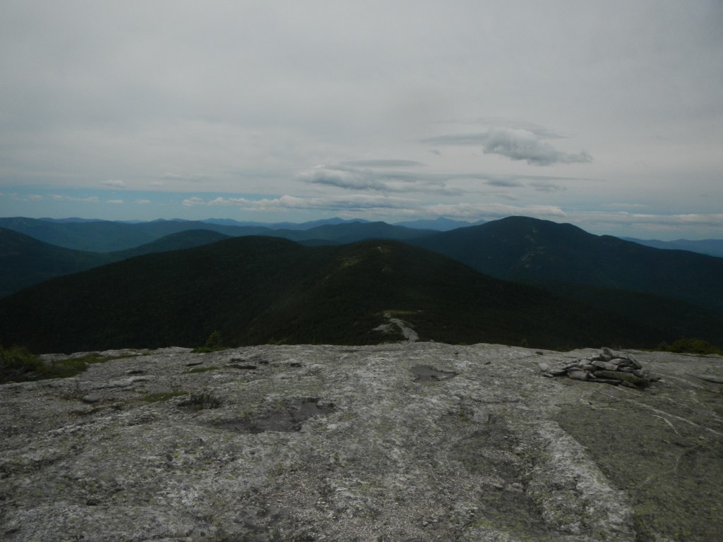 Baldpate Mountain TrailHikingPhoto: John Hayes (gravelboy), CC BY 2.0 (via Flickr)3.3 mi
- Step Falls TrailHiking4 mi
- The OutlookRock climbing9.3 mi
- C BluffRock climbing9.9 mi
Source: Roamze catalog (indexable pages within 10 miles, PostGIS distance)
- Eyebrow TrailHiking · Next doorPhoto: athrasher, Public Domain Dedication (CC0) (via Flickr)
- Table Rock TrailHiking · Next doorPhoto: daveynin, CC BY 2.0 (via Flickr)
 Notch TrailHiking · ~7 min drivePhoto: John Hayes (gravelboy), CC BY 2.0 (via Flickr)
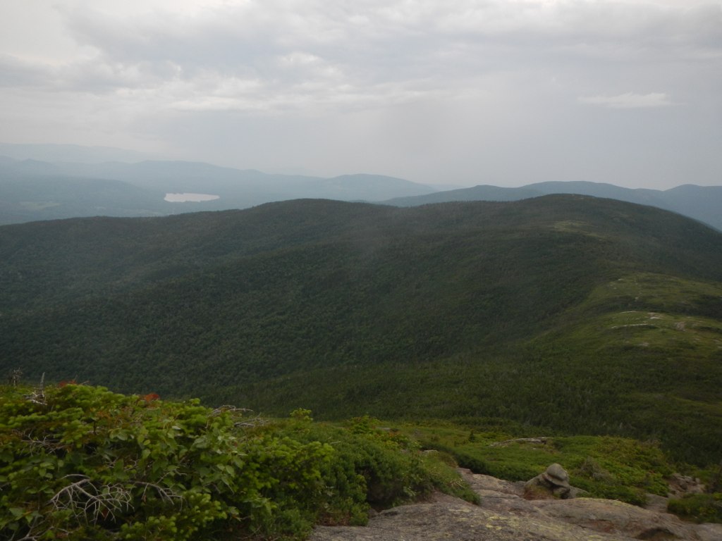 Wright TrailHiking · ~11 min drivePhoto: John Hayes (gravelboy), CC BY 2.0 (via Flickr)
- Speck Pond TrailHiking · ~7 min drive
- Baldpate Mountain TrailHiking · ~6 min drivePhoto: John Hayes (gravelboy), CC BY 2.0 (via Flickr)
 Summit LoopHiking · ~17 min drivePhoto: Tv.Rule, CC BY-SA 4.0 (via Wikimedia Commons)
- Grafton Loop TrailHiking · ~2 min drive
- Appalachian TrailHiking · ~21 min drive
 Goose EyeHiking · ~11 min drivePhoto: John Hayes (gravelboy), CC BY 2.0 (via Flickr)
Map and trail data © OpenStreetMap contributors
