Wright Trail
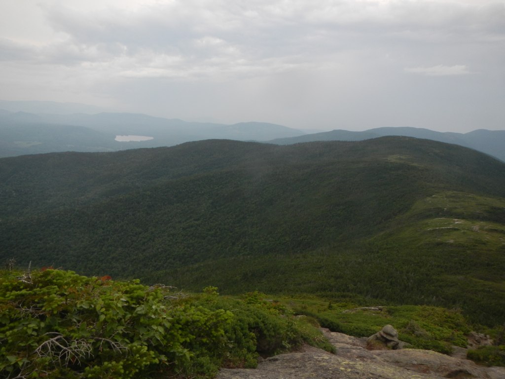 Photo: John Hayes (gravelboy), CC BY 2.0 (via Flickr)
- 3.8 mi
- round trip
- 5,344 ft
- climb
- 3,642 ft
- high point
- Out and back
- route
Is Wright Trail open right now?
Closure in the area
There's a closure order in Appalachian National Scenic Trail. It doesn't name Wright Trail, so check the source for the area it covers.
List of trail closures post-Hurricane Helene
Park closure covering Appalachian National Scenic Trail · NPS · Appalachian National Scenic Trail
Black Bears Frequenting the McAfee Knob Area in Virginia
Park alert covering Appalachian National Scenic Trail · NPS · Appalachian National Scenic Trail
As of · Source: NPS · Appalachian National Scenic Trail. Agencies don't list every closure — check before you go.
Wright Trail is a 7.7-mile out-and-back hike in Maine, set within the Mahoosucs and on the Appalachian National Scenic Trail. The land is managed by State Park and Recreation, and the route is rated expert. The trail climbs from a low of 1,246 feet to a high of 3,642 feet, with a total elevation gain of 5,344 feet over the round trip. That makes it a serious objective, and the steepest stretch comes at about 1.3 miles in, with a grade of 37 percent. The trip takes about five hours. The closest neighbor is Goose Eye, just 0.2 miles away, and Carlo Col lies about 1.5 miles off. The Notch Trail is roughly 2.4 miles away, and the Lost Boys Area climbing spot is about 4.4 miles away across the state line in New Hampshire.
Keep exploring — more trails worth the drive
 Photo: John Hayes (gravelboy), CC BY 2.0 (via Flickr)
Goose Eye
Next door
2.40-mile out-and-back trail in Maine with 3,892 ft gain and 5,271 ft loss.
 Photo: athrasher, Public Domain Dedication (CC0) (via Flickr)
Appalachian Trail
~11 min drive
6.02-mile out-and-back on the Appalachian Trail in Maine with 2,943 ft gain/loss
 Photo: Magicpiano, CC BY-SA 3.0 (via Wikimedia Commons)
Austin Brook
~12 min drive
0.36-mile out-and-back trail at Austin Brook in New Hampshire with 38 ft gain.
HIKE
Grafton Loop Trail
~9 min drive
26.82-mile point-to-point trail in Maine with 6,938 ft gain and 8,338 ft loss.
 Photo: John Hayes (gravelboy), CC BY 2.0 (via Flickr)
Carlo Col
~3 min drive
Carlo Col is a 4.00-mile out-and-back trail in Maine with 1,536 feet of elevation loss.
Photo: athrasher, Public Domain Dedication (CC0) (via Flickr)Eyebrow Trail
~11 min drive
1.04-mile out-and-back hike in Maine with 1,153 ft elevation gain
 Photo: Magicpiano, CC BY-SA 3.0 (via Wikimedia Commons)
Orange (Wiggin Rock) Trail
~12 min drive
0.64-mile out-and-back hike in New Hampshire with 212 ft gain.
 Photo: daveynin, CC BY 2.0 (via Flickr)
Table Rock Trail
~11 min drive
0.81-mile out-and-back hike in Maine with 1,200 ft elevation gain.
HIKE
Wheeler Brook
~13 min drive
7-mile out-and-back trail in Maine with 1,481 ft gain
Photo: Magicpiano, CC BY-SA 3.0 (via Wikimedia Commons)Gates Brook Trail
~13 min drive
3.56-mile out-and-back hike in New Hampshire with 822 ft elevation gain
Map and trail data © OpenStreetMap contributors
