Starr Trail (yellow)
- 1.8 mi
- round trip
- 1,795 ft
- climb
- 1,911 ft
- high point
- Out and back
- route
- May–Oct
- best months
Starr Trail (yellow) is a moderate out-and-back hike in western Maine, about 3.6 miles from the town of Rumford Point. The route is 3.7 miles long, with a total elevation gain of 1,795 feet, and it reaches a high point of 1,911 feet. The climb is front-loaded, with the steepest stretch at about 0.88 miles in, where the grade reaches 26 percent. Summer is the most comfortable time to go. Typical averages from a nearby weather station in Rumford run to highs around 79°F in July, while temperatures at the high point run cooler than that station's figures. Winter is cold, with January highs near 27°F. The hike takes about two hours. The Orange/Red Trail starts just 0.2 miles away, and the Red Pine Line and Quarry Line ski touring routes are each about a mile off. Smokestack is about 2 miles away.
- Orange/Red TrailHiking0.2 mi
- Red Pine LineSki touring1.1 mi
- Quarry LineSki touring1.2 mi
- SmokestackSki touring2 mi
- WaterfallSki touring2 mi
- Horseshoe gladeSki touring2.2 mi
- BearclawSki touring2.7 mi
- MerrymeetingSki touring3.2 mi
Source: Roamze catalog (indexable pages within 10 miles, PostGIS distance)
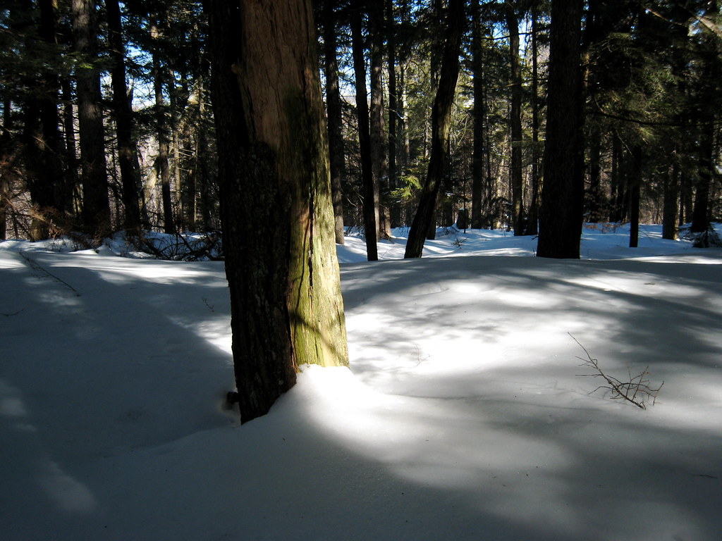 Mount Will TrailHiking · ~13 min drivePhoto: ChrisDag, CC BY 2.0 (via Flickr)
 White Cap SummitHiking · ~18 min drivePhoto: Tv.Rule, CC BY-SA 4.0 (via Wikimedia Commons)
 Appalachian TrailHiking · ~23 min drivePhoto: athrasher, Public Domain Dedication (CC0) (via Flickr)
- Grafton Loop TrailHiking · ~23 min drive
- Summit LoopHiking · ~17 min drivePhoto: Tv.Rule, CC BY-SA 4.0 (via Wikimedia Commons)
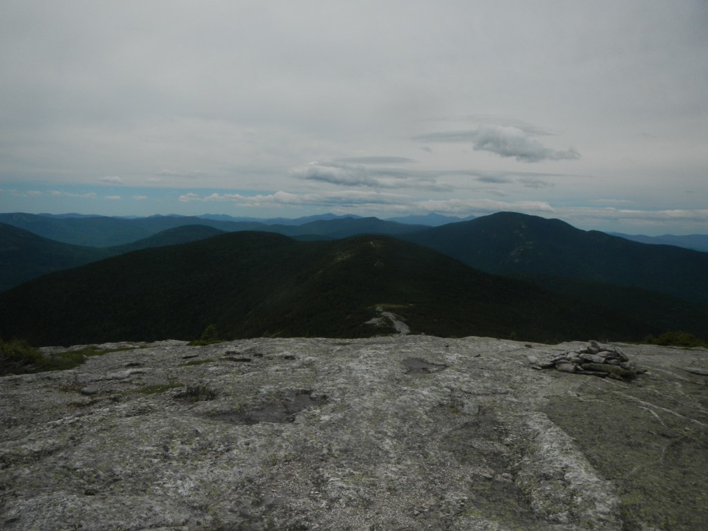 Baldpate Mountain TrailHiking · ~20 min drivePhoto: John Hayes (gravelboy), CC BY 2.0 (via Flickr)
- Eyebrow TrailHiking · ~23 min drivePhoto: athrasher, Public Domain Dedication (CC0) (via Flickr)
 J-n-J Backcountry TrailHiking · ~19 min drivePhoto: realblackphoto, CC BY-SA 2.0 (via Flickr)
 Table Rock TrailHiking · ~23 min drivePhoto: daveynin, CC BY 2.0 (via Flickr)
 Little Jackson Mountain TrailHiking · ~26 min drivePhoto: Spenceregan7, CC BY 3.0 (via Wikimedia Commons)
Best time to visit Starr Trail (yellow)
Best months: May–October. Best months have typical highs of 55–85 °F, lows of 30 °F or warmer (32 °F where the station doesn't record snow), at most one snowy day and no more than 12 wet days.
Jan
27° / 6°
Feb
29° / 7°
Mar
38° / 17°
Apr
52° / 29°
May
65° / 41°
Jun
74° / 51°
Jul
79° / 56°
Aug
78° / 54°
Sep
71° / 45°
Oct
57° / 35°
Nov
44° / 26°
Dec
33° / 15°
Typical high / low (°F) and days with rain or snow, 1991–2020. Measured at Rumford 6sw, ME, 4.2 mi away at 630 ft. The station sits about 1,300 ft lower than this place, so expect it a little cooler here. This station doesn't record snowfall. Source: NOAA NCEI U.S. Climate Normals 1991–2020.
Map and trail data © OpenStreetMap contributors
