Baldpate Mountain Trail
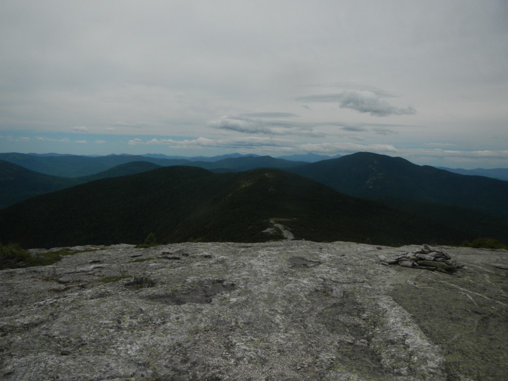 Photo: John Hayes (gravelboy), CC BY 2.0 (via Flickr)
- 2.7 mi
- round trip
- 1,822 ft
- climb
- 2,795 ft
- high point
- Out and back
- route
Is Baldpate Mountain Trail open right now?
Closure in the area
There's a closure order in Appalachian National Scenic Trail. It doesn't name Baldpate Mountain Trail, so check the source for the area it covers.
List of trail closures post-Hurricane Helene
Park closure covering Appalachian National Scenic Trail · NPS · Appalachian National Scenic Trail
Black Bears Frequenting the McAfee Knob Area in Virginia
Park alert covering Appalachian National Scenic Trail · NPS · Appalachian National Scenic Trail
As of · Source: NPS · Appalachian National Scenic Trail. Agencies don't list every closure — check before you go.
Baldpate Mountain Trail is a 5.3-mile out-and-back hike in Maine, set within the Mahoosucs and on the Appalachian National Scenic Trail. The land is managed by State Park and Recreation, and the trail starts at the high point of 2,795 feet, with the climb back down mirroring the ascent. The route is rated moderate, and the total elevation gain is 1,822 feet, with the steepest stretch at the start, where the grade reaches 32 percent. Summer is the most comfortable time to go. Typical averages from a nearby weather station at Middle Dam show July highs around 76°F and lows near 54°F, though that station sits about 1,300 feet lower, so temperatures on the trail run cooler. Winters are cold, with January highs averaging 24°F. The trip takes about 2.5 hours. The Appalachian Trail passes within about 3.3 miles, and Table Rock Trail and Cascade Trail are both a little over 3 miles away. For climbing, C Bluff is about 7 miles off.
 Table Rock TrailHikingPhoto: daveynin, CC BY 2.0 (via Flickr)3.2 mi
- Cascade TrailHiking3.3 mi
 Appalachian TrailHikingPhoto: athrasher, Public Domain Dedication (CC0) (via Flickr)3.3 mi
- Eyebrow TrailHikingPhoto: athrasher, Public Domain Dedication (CC0) (via Flickr)3.4 mi
- Step Falls TrailHiking3.6 mi
- Black Brook TrailHiking4.4 mi
- Grafton Loop TrailHiking4.6 mi
- C BluffRock climbing7.1 mi
Source: Roamze catalog (indexable pages within 10 miles, PostGIS distance)
- Table Rock TrailHiking · ~6 min drivePhoto: daveynin, CC BY 2.0 (via Flickr)
- Appalachian TrailHiking · ~6 min drivePhoto: athrasher, Public Domain Dedication (CC0) (via Flickr)
 Notch TrailHiking · ~13 min drivePhoto: John Hayes (gravelboy), CC BY 2.0 (via Flickr)
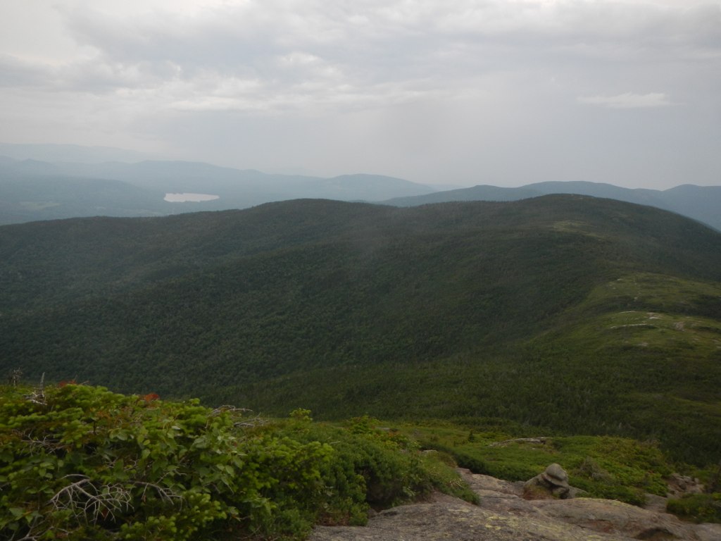 Wright TrailHiking · ~16 min drivePhoto: John Hayes (gravelboy), CC BY 2.0 (via Flickr)
 Goose EyeHiking · ~16 min drivePhoto: John Hayes (gravelboy), CC BY 2.0 (via Flickr)
- Eyebrow TrailHiking · ~6 min drivePhoto: athrasher, Public Domain Dedication (CC0) (via Flickr)
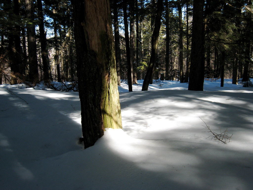 Mount Will TrailHiking · ~19 min drivePhoto: ChrisDag, CC BY 2.0 (via Flickr)
- Grafton Loop TrailHiking · ~8 min drive
 Carlo ColHiking · ~19 min drivePhoto: John Hayes (gravelboy), CC BY 2.0 (via Flickr)
- Speck Pond TrailHiking · ~13 min drive
Best time to visit Baldpate Mountain Trail
No month here meets our mild-weather rule. Best months have typical highs of 55–85 °F, lows of 30 °F or warmer (32 °F where the station doesn't record snow), at most one snowy day and no more than 12 wet days.
Jan
24° / 2°
17 wet
Feb
27° / 3°
14 wet
Mar
36° / 12°
15 wet
Apr
48° / 27°
13 wet
May
62° / 39°
15 wet
Jun
71° / 49°
15 wet
Jul
76° / 54°
15 wet
Aug
75° / 52°
13 wet
Sep
68° / 45°
13 wet
Oct
54° / 34°
14 wet
Nov
41° / 24°
15 wet
Dec
30° / 12°
18 wet
Typical high / low (°F) and days with rain or snow, 1991–2020. Measured at Middle Dam, ME, 11 mi away at 1,460 ft. The station sits about 1,300 ft lower than this place, so expect it a little cooler here. This station doesn't record snowfall. Source: NOAA NCEI U.S. Climate Normals 1991–2020.
Map and trail data © OpenStreetMap contributors
