Red Pine Line
- 0.4 mi
- round trip
- 1,228 ft
- climb
- 1,804 ft
- high point
- Out and back
- route
- May–Oct
- best months
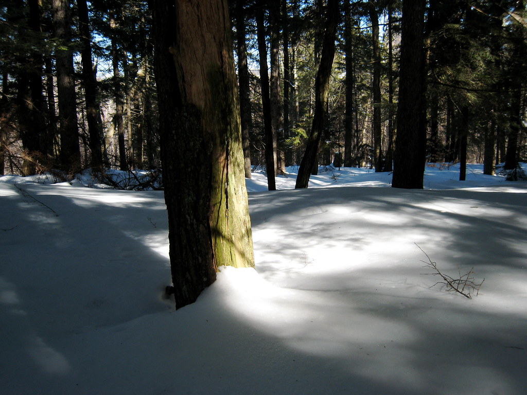
Red Pine Line is a ski touring route in Rumford Whitecap, a non-governmental land unit in western Maine. The climb is short, under a mile out and back, but it is steep. It rises from 1,784 feet to 1,804 feet, with a total gain of 1,228 feet for the round trip. The steepest section comes early, at about 0.26 miles, with a 43% grade. The high point is 1,804 feet, and the low point on the return is 1,161 feet, so the route is as much descent as ascent. Winter is the natural season for this kind of outing. Typical averages from a nearby weather station in Rumford, which sits well below the summit, show January highs around 27°F and lows near 6°F. Temperatures on the summit run cooler, so expect even colder conditions up high. Quarry Line is just 0.1 mile away, and Smokestack and Waterfall are each about 0.9 mile off. For a change from the snow, the Starr Trail (yellow) is about 1.1 mile away.
Best time to go · May–Oct
Best time to visit Red Pine Line
Best months: May–October. Best months have typical highs of 55–85 °F, lows of 30 °F or warmer (32 °F where the station doesn't record snow), at most one snowy day and no more than 12 wet days.
Jan
27° / 6°
Feb
29° / 7°
Mar
38° / 17°
Apr
52° / 29°
May
65° / 41°
Jun
74° / 51°
Jul
79° / 56°
Aug
78° / 54°
Sep
71° / 45°
Oct
57° / 35°
Nov
44° / 26°
Dec
33° / 15°
Typical high / low (°F) and days with rain or snow, 1991–2020. Measured at Rumford 6sw, ME, 4.9 mi away at 630 ft. The station sits about 1,200 ft lower than this place, so expect it a little cooler here. This station doesn't record snowfall. Source: NOAA NCEI U.S. Climate Normals 1991–2020.
Keep exploring — more snow worth the drive
SEE
Black Mountain of Maine
~4 min drive
Black Mountain of Maine has 21 downhill runs across 3 lifts with 1,228 ft of vertical.
SKI
Quarry Line
Next door
0.4 mi
SKI
Lift Line
~46 min drive
0.4 mi · Easy
SKI
Ski Back
~20 min drive
0.52-mile out-and-back ski route in Maine with 147 ft of elevation gain.
SKI
McClain's Lane
~22 min drive
0.37-mile out-and-back ski route in Maine with 84 ft of elevation gain.
SKI
Larry Hall Trail
~47 min drive
0.43-mile out-and-back trail in Maine with 17 ft of elevation gain.
SEE
Sunday River
~21 min drive
Sunday River is a Maine ski area with 20 lifts, 136 runs, and 2,322 ft vertical drop.
SKI
Smokestack
~2 min drive
0.2 mi
SKI
Shortcut
~46 min drive
0.1 mi · Easy
SKI
Roberts Farm Trail
~43 min drive
Roberts Farm Trail is a 0.19-mile out-and-back route in Maine with 31 feet of elevation gain.
Map and trail data © OpenStreetMap contributors
